
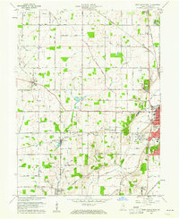
1960 Map of New Castle West
USGS Topo · Published 1961About this map
New Castle serves as the industrial and social anchor of this East Central Indiana landscape, where the confluence of the Big Blue River and several rail lines shaped the mid-century city. The Pennsylvania and New York Central railroads cut through the terrain, supporting local industry and connecting outlying settlements like Mount Summit and Cadiz. The rural expanses are meticulously detailed, showing the layout of the County Home and the expansive South Mound Cemetery near the city center.
Find a feature on this map
79 named features on this map. Tap any name to fly to it.
Don’t see what you’re looking for? This feature index may not catch every label — zoom into the map to look around manually.
Map Details
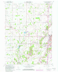
Editions of this 1960 New Castle West Map
Other maps of this area

1948 · Lewisville
USGS Topo · 1:24,000

1949 · New Castle West
USGS Topo · 1:24,000

1950 · New Castle East
USGS Topo · 1:24,000

1950 · Dunreith
USGS Topo · 1:24,000

1950 · Lewisville
USGS Topo · 1:24,000

1953 · Cincinnati
USGS Topo · 1:250,000

1953 · Muncie
USGS Topo · 1:250,000

1956 · Muncie
USGS Topo · 1:250,000

1957 · Cincinnati
USGS Topo · 1:250,000

1960 · New Castle East
USGS Topo · 1:24,000