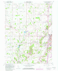
1960 Map of New Castle West
USGS Topo · Published 1982About this map
New Castle serves as the eastern anchor of this Henry County landscape, where the town’s expanding grid meets the agrarian townships of Jefferson and Harrison. The terrain is defined by a dense network of small watercourses like Duck Creek, Gander Run, and Jakes Run that once dictated the placement of pioneer-era holdings. By the early 1960s, the region’s transportation heritage was clearly etched into the land, with the Conrail and Norfolk and Western rail lines intersecting the countryside. Local history is preserved in the numerous rural landmarks, from Sugar Grove School and Mt Zion Church to family and community burial grounds such as Hess Cemetery and Quaker Cemetery. Notable for its mixture of industry and recreation, the area includes the Western Airfield and the sprawling South Mound Cemetery, illustrating the growth of New Castle beyond its original core.
Find a feature on this map
90 named features on this map. Tap any name to fly to it.
Don’t see what you’re looking for? This feature index may not catch every label — zoom into the map to look around manually.
Map Details
Editions of this 1960 New Castle West Map
Other maps of this area

1948 · Lewisville
USGS Topo · 1:24,000

1949 · New Castle West
USGS Topo · 1:24,000

1950 · New Castle East
USGS Topo · 1:24,000

1950 · Dunreith
USGS Topo · 1:24,000

1950 · Lewisville
USGS Topo · 1:24,000

1953 · Cincinnati
USGS Topo · 1:250,000

1953 · Muncie
USGS Topo · 1:250,000

1956 · Muncie
USGS Topo · 1:250,000

1957 · Cincinnati
USGS Topo · 1:250,000

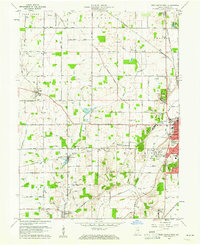
1960 · New Castle West
USGS Topo · 1:24,000