
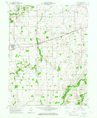
1959 Map of Rushville
USGS Topo · Published 1960About this map
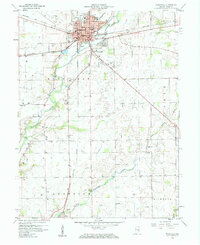
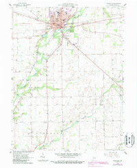
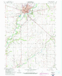
The city of Rushville serves as the central hub of this late 1950s Indiana landscape, where three major railroads intersect: the Baltimore and Ohio, the Pennsylvania, and the New York Central. This dense concentration of infrastructure highlights the town's historical importance as a transit and agricultural node. The civic core is clearly defined by the Courthouse, City Hall, and the Rush Memorial Hospital, while the Fairgrounds and Memorial Park anchor the northern edge of the settlement. To the south, the terrain becomes more rural as the Flatrock River and its tributaries, such as the Little Flatrock River, wind through the countryside. Scattered throughout these townships are ancestral markers like Laughlin Cem and Kelly Cem, along with the Webb Sch, reflecting a classic Midwestern pattern of small, dispersed rural communities and family burial grounds.
Find a feature on this map
42 named features on this map. Tap any name to fly to it.
Don’t see what you’re looking for? This feature index may not catch every label — zoom into the map to look around manually.
Map Details
Editions of this 1959 Rushville Map
4 editions found
Other maps of this area

1942 · Columbus
USGS Topo · 1:125,000

1953 · Cincinnati
USGS Topo · 1:250,000

1957 · Cincinnati
USGS Topo · 1:250,000

1958 · Clarksburg
USGS Topo · 1:24,000

1959 · Milroy
USGS Topo · 1:24,000

1959 · New Salem
USGS Topo · 1:24,000
1959 · Adams
USGS Topo · 1:24,000

1959 · Mays
USGS Topo · 1:24,000

1959 · Falmouth
USGS Topo · 1:24,000
1960 · Manilla
USGS Topo · 1:24,000