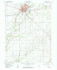
1959 Map of Rushville
USGS Topo · Published 1960About this map
Rushville serves as the central hub of this 1959 survey, anchored by the Courthouse and substantial infrastructure including the Rush Memorial Hospital and the Fairgrounds. The Flatrock River winds through the landscape, flanked by the smaller Little Flatrock River and a scattering of early rural infrastructure. Numerous Gas Wells dot the countryside, indicating the subsurface energy economy of mid-century Rush County. For genealogists and local historians, the sheet is particularly detailed in its placement of family-named cemeteries such as Laughlin Cem, Matlock Cem, and Duke Cem. The presence of a Covered Bridge on the Little Flatrock River and another over the main branch near Milroy highlights the survival of older engineering alongside the heavy-duty transit lines of the Pennsylvania and Baltimore and Ohio railroads.
Find a feature on this map
43 named features on this map. Tap any name to fly to it.
Don’t see what you’re looking for? This feature index may not catch every label — zoom into the map to look around manually.
Map Details
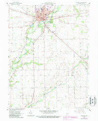
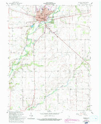
Editions of this 1959 Rushville Map
4 editions found
Other maps of this area

1942 · Columbus
USGS Topo · 1:125,000

1953 · Cincinnati
USGS Topo · 1:250,000

1957 · Cincinnati
USGS Topo · 1:250,000

1958 · Clarksburg
USGS Topo · 1:24,000

1959 · Milroy
USGS Topo · 1:24,000

1959 · Rushville
USGS Topo · 1:24,000

1959 · New Salem
USGS Topo · 1:24,000
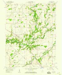
1959 · Adams
USGS Topo · 1:24,000

1959 · Mays
USGS Topo · 1:24,000

1959 · Falmouth
USGS Topo · 1:24,000