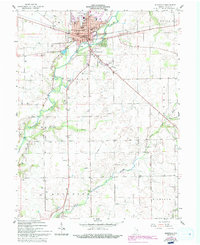
1959 Map of Rushville
USGS Topo · Published 1994About this map
Rushville serves as the focal point of this east-central Indiana landscape, where the Flatrock River winds past the municipal center. The town's institutional history is anchored by the Courthouse, Rush Memorial Hospital, and several educational facilities including Havens Sch and Graham Sch. Large green spaces like Memorial Park and Gregg Park suggest a community well-invested in public recreation by the mid-20th century.
Find a feature on this map
43 named features on this map. Tap any name to fly to it.
Don’t see what you’re looking for? This feature index may not catch every label — zoom into the map to look around manually.
Map Details
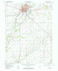
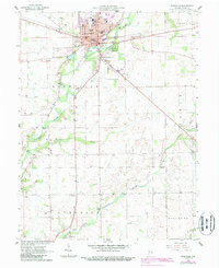
Editions of this 1959 Rushville Map
4 editions found
Other maps of this area

1942 · Columbus
USGS Topo · 1:125,000

1953 · Cincinnati
USGS Topo · 1:250,000

1957 · Cincinnati
USGS Topo · 1:250,000

1958 · Clarksburg
USGS Topo · 1:24,000

1959 · Milroy
USGS Topo · 1:24,000

1959 · Rushville
USGS Topo · 1:24,000

1959 · New Salem
USGS Topo · 1:24,000
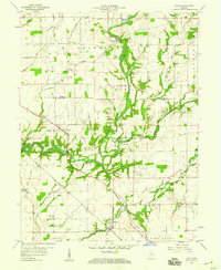
1959 · Adams
USGS Topo · 1:24,000

1959 · Mays
USGS Topo · 1:24,000

1959 · Falmouth
USGS Topo · 1:24,000