
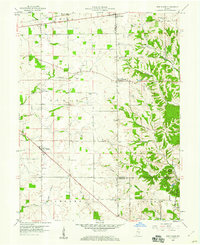
1959 Map of New Salem
USGS Topo · Published 1960About this map
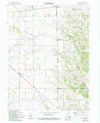
New Salem serves as a central hub in this late 1950s rural landscape, where the agriculture of Noble and Richland townships is organized around the Baltimore and Ohio railroad line. The map captures a high density of genealogical landmarks, including a variety of family and congregational burial sites such as Alger Cem, Gregg Cem, and the Old Brick Cem. A significant historical demarcation, the Indian Treaty Boundary, cuts through the southeast corner of the map, separating the surveyed lands of Posey township from the adjacent territory. The terrain transitions from the relatively level fields near Farmington and Glenwood to the more dissected topography of Orange Ridge. Waterways like the Little Flatrock River and Sanes Creek dictate the local drainage patterns, while scattered rural institutions like Little Flatrock Ch and Old Friends Ch anchor the dispersed farmstead communities of the era.
Find a feature on this map
36 named features on this map. Tap any name to fly to it.
Don’t see what you’re looking for? This feature index may not catch every label — zoom into the map to look around manually.
Map Details
Editions of this 1959 New Salem Map
Other maps of this area

1953 · Cincinnati
USGS Topo · 1:250,000

1956 · Alpine
USGS Topo · 1:24,000

1956 · Metamora
USGS Topo · 1:24,000

1956 · Connersville
USGS Topo · 1:24,000

1957 · Cincinnati
USGS Topo · 1:250,000

1958 · Clarksburg
USGS Topo · 1:24,000

1959 · Milroy
USGS Topo · 1:24,000

1959 · Rushville
USGS Topo · 1:24,000

1959 · Mays
USGS Topo · 1:24,000

1959 · Falmouth
USGS Topo · 1:24,000