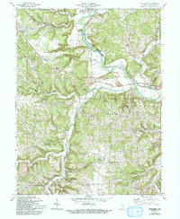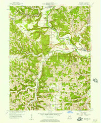
1956 Map of Metamora
USGS Topo · Published 1957About this map
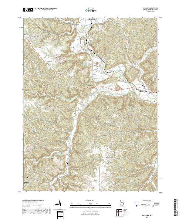
The Whitewater River corridor defines the geography of this mid-century Indiana survey, following a winding valley that hosts the New York Central Railroad and several historic settlements. Near Metamora, the presence of an Aqueduct and the Laurel Feeder Dam points to the area's vital role in the regional canal and river transport system. The landscape transition from the river bottoms to the upland ridges is marked by deeply cut hollows like Halls Hollow and prominent elevations such as Jackson Hill.
Find a feature on this map
60 named features on this map. Tap any name to fly to it.
Don’t see what you’re looking for? This feature index may not catch every label — zoom into the map to look around manually.
Map Details
Editions of this 1956 Metamora Map
This is the sole edition of this map. No revisions or reprints were ever made.
Historical Maps of Laurel Through Time
7 maps found