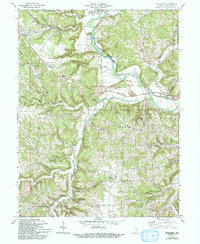
1972 Map of Metamora
USGS Topo · Published 1993About this map
Whitewater River valley life in Franklin County is captured here during the early 1970s, a landscape defined by the parallel courses of the Penn Central railroad and the river. The small town of Metamora serves as a focal point, featuring a notable Aqueduct that speaks to the region's historic transportation infrastructure. To the northwest, the town of Laurel sits near the Lauth Feeder Dam, illustrating the tight relationship between these settlements and the waterway's power and transit potential.
Find a feature on this map
59 named features on this map. Tap any name to fly to it.
Don’t see what you’re looking for? This feature index may not catch every label — zoom into the map to look around manually.
Map Details
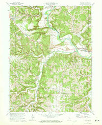
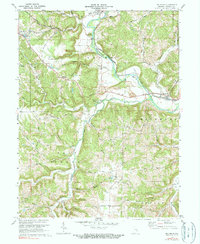
Editions of this 1972 Metamora Map
3 editions found
Other maps of this area

1946 · Batesville
USGS Topo · 1:24,000

1946 · New Point
USGS Topo · 1:24,000

1953 · Cincinnati
USGS Topo · 1:250,000

1956 · Everton
USGS Topo · 1:24,000

1956 · Alpine
USGS Topo · 1:24,000

1956 · Metamora
USGS Topo · 1:24,000

1956 · Brookville
USGS Topo · 1:24,000

1957 · Cincinnati
USGS Topo · 1:250,000

1958 · Spades
USGS Topo · 1:24,000

1958 · Clarksburg
USGS Topo · 1:24,000