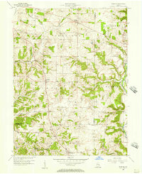
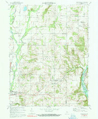
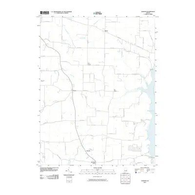
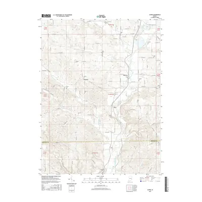
1956 Map of Everton
USGS Topo · Published 1957About this map
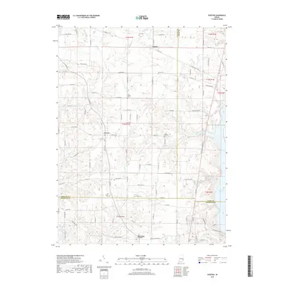
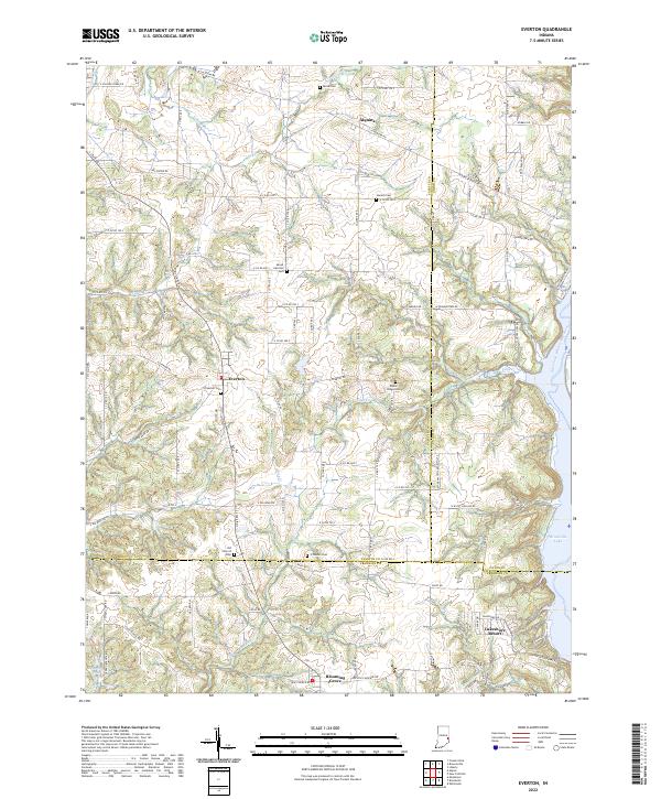
Everton serves as the central hub of this mid-century agricultural landscape, situated at the junction of rural roads in eastern Indiana. The map preserves a detailed view of the rural township structure across Jackson and Jennings, marked by scattered farmsteads and small crossroads settlements like Alquina and Blooming Grove. One of the most significant historical markers shown is the Greenville Treaty Line, which slices diagonally through the terrain, reflecting the early 19th-century frontier boundary that shaped the original land surveys of the region. The drainage system is dominated by the East Fk Whitewater River on the eastern edge and winding waterways like Duck Creek and Village Creek. Local landmarks of genealogical interest include the Duck Creek Stone Chapel and several family or community burial grounds, such as Mt Garrison Cem and Poplar Ridge Cem.
Find a feature on this map
25 named features on this map. Tap any name to fly to it.
Don’t see what you’re looking for? This feature index may not catch every label — zoom into the map to look around manually.
Map Details
Editions of this 1956 Everton Map
This is the sole edition of this map. No revisions or reprints were ever made.
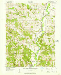
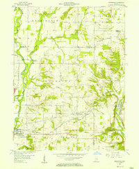
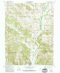
Historical Maps of Blooming Grove Through Time
21 maps found
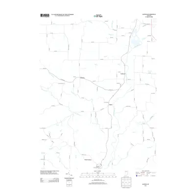
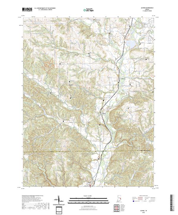
1956 Alpine
Fayette County, IN
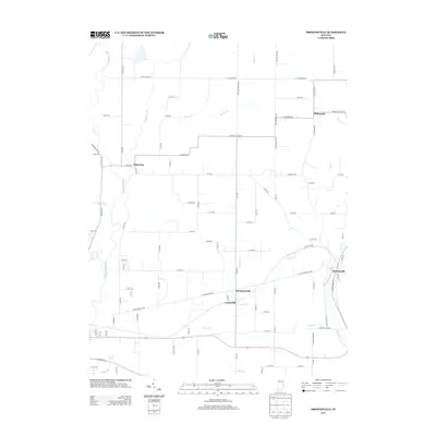
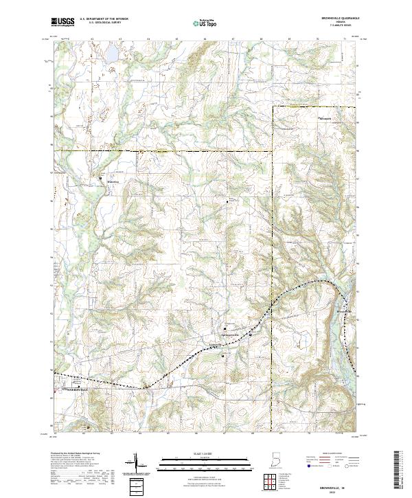
1956 Brownsville
Fayette County, IN
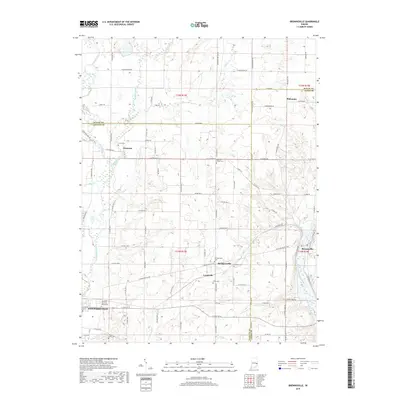
1956 Everton
Fayette County, IN
1971 Alpine
Fayette County, IN
1972 Brownsville
Fayette County, IN
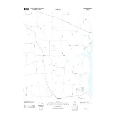
1972 Everton
Fayette County, IN
2010 Alpine
Fayette County, IN
2010 Brownsville
Fayette County, IN
2010 Everton
Fayette County, IN
2013 Alpine
Fayette County, IN
2013 Brownsville
Fayette County, IN
2013 Everton
Fayette County, IN
2016 Alpine
Fayette County, IN
2016 Brownsville
Fayette County, IN
2016 Everton
Fayette County, IN
2019 Alpine
Fayette County, IN
2019 Brownsville
Fayette County, IN
2019 Everton
Fayette County, IN
2022 Alpine
Fayette County, IN
2022 Brownsville
Fayette County, IN
2022 Everton
Fayette County, IN