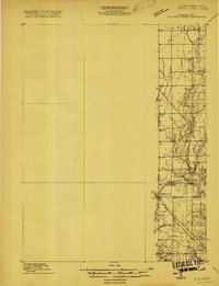
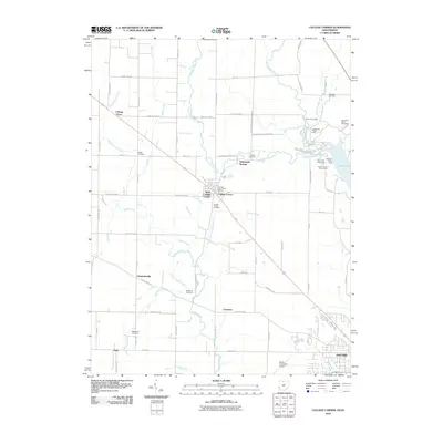
1915 Map of College Corner
USGS Topo · Published 1915About this map
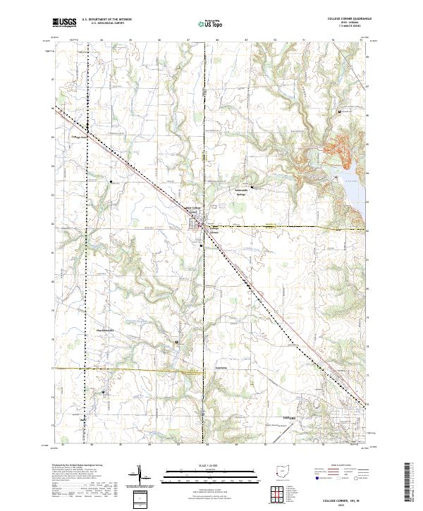
College Corner straddles the state line in this 1915 survey, serving as a focal point where the Cincinnati Hamilton and Dayton RR crosses from Indiana into Ohio. The map captures a landscape transitioning from the steep, carved banks of the West Fork and Fourmile Creek to the organized agricultural grid of Jackson township. The placement of School No 3 and Concord Church suggests a well-established rural social structure typical of the early twentieth century.
Find a feature on this map
16 named features on this map. Tap any name to fly to it.
Don’t see what you’re looking for? This feature index may not catch every label — zoom into the map to look around manually.
Map Details
Editions of this 1915 College Corner Map
This is the sole edition of this map. No revisions or reprints were ever made.
Historical Maps of Richmond Through Time
9 maps found
1915 College Corner
Preble County, OH
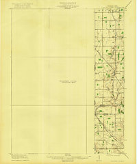
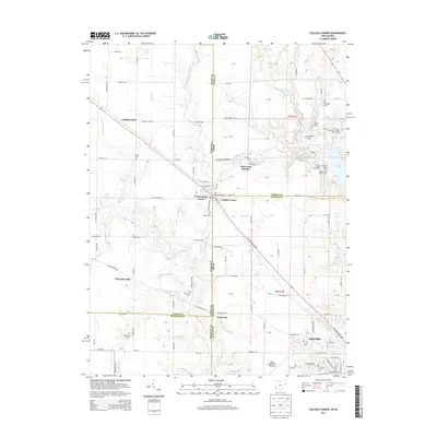
1918 College Corner
Preble County, OH
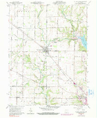
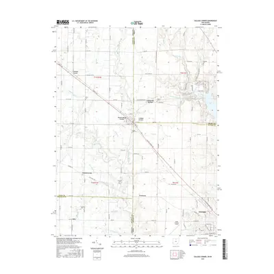
1960 College Corner
Preble County, OH
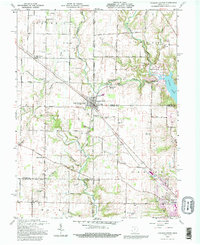
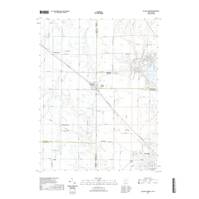
1992 College Corner
Preble County, OH
2010 College Corner
Preble County, OH
2013 College Corner
Preble County, OH
2016 College Corner
Preble County, OH
2019 College Corner
Preble County, OH
2023 College Corner
Preble County, OH