
Loading...
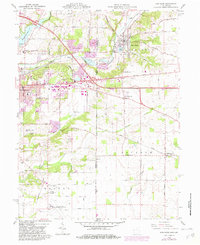
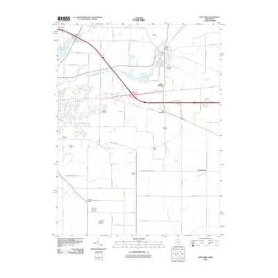
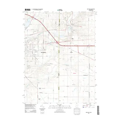
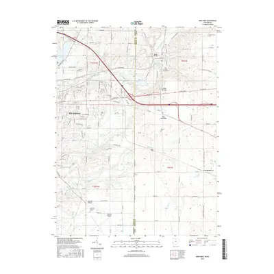
Loading map...1915 Map of New Paris
USGS Topo · Published 1915About this map
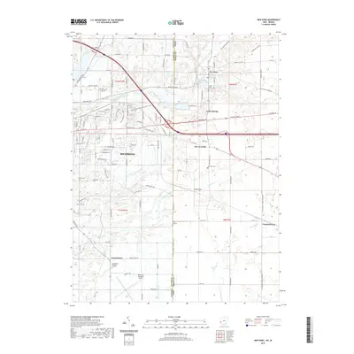
Sunbeam Prairie and the undulating borderlands between Preble County, Ohio, and Darke County define this narrow strip of midwestern history. This 1915 advance sheet documents a landscape deeply connected by early overland routes and competing rail lines. The Pittsburgh Cincinnati Chicago and St Louis RR and the Chicago and St Louis RR intersect the region, serving established rural hubs like Hollansburg and New Paris.
Find a feature on this map
23 named features on this map. Tap any name to fly to it.
Don’t see what you’re looking for? This feature index may not catch every label — zoom into the map to look around manually.
Map Details
Date Portrayed1915
Date Published1915
PublisherU.S. Geological Survey
Map TypeTopographic
Scale1:48,000
Physical Dimensions21.1 x 27.4 inches
Editions of this 1915 New Paris Map
This is the sole edition of this map. No revisions or reprints were ever made.
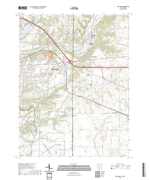
Historical Maps of Richmond Through Time
8 maps found

Featured Locations
Source Details
SourceU.S. Geological Survey
CopyrightPublic Domain