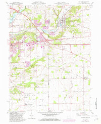
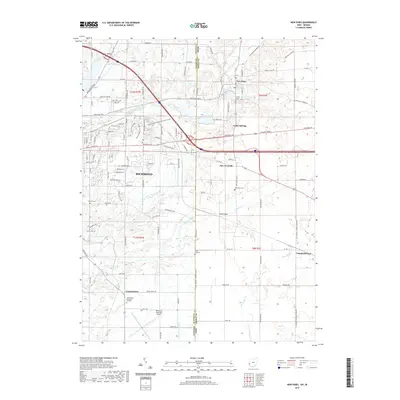
1918 Map of New Paris
USGS Topo · Published 1922About this map
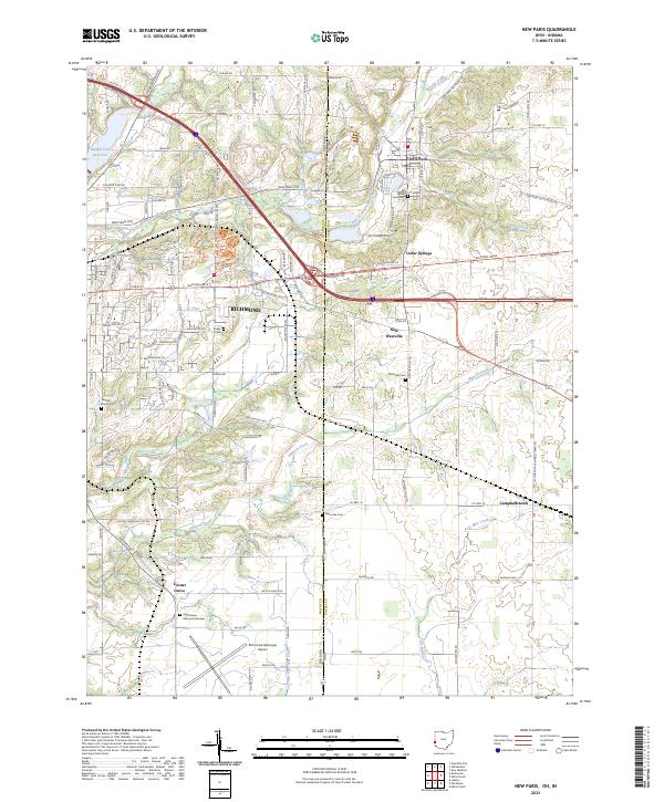
New Paris serves as a central hub on this 1915 survey of the Indiana-Ohio borderlands, showing a landscape defined by its intersection of water, rail, and early transit. The map documents a dense network of transportation infrastructure during the First World War era, where the Ohio Electric Ry and the Cincinnati and Richmond RR converge near the settlement. The topographic survey captures the transition from the flat Prairie of the north to the dissected drainage systems of the Whitewater River and its various forks, including the Rocky Fork and Little Whitewater River. Local settlements like Hollansburg, New Westville, and Cedar Springs are mapped with precision alongside historic transit corridors such as the National Road and Palestine Road, providing a clear view of the regional geography before mid-century development altered the rural character.
Find a feature on this map
29 named features on this map. Tap any name to fly to it.
Don’t see what you’re looking for? This feature index may not catch every label — zoom into the map to look around manually.
Map Details
Editions of this 1918 New Paris Map
This is the sole edition of this map. No revisions or reprints were ever made.
Historical Maps of Richmond Through Time
8 maps found