
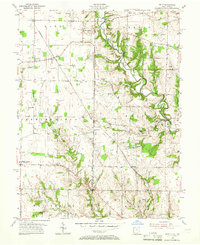
1955 Map of Reily
USGS Topo · Published 1956About this map
The First Principal Meridian serves as the structural spine for this mid-century landscape, marking the border between Franklin County, Indiana, and Butler County, Ohio. The terrain is defined by the winding course of Indian Creek, which cuts through the upland plateaus to create the distinctive topography seen in the township of Reilly. This survey records a post-war rural economy where small crossroads settlements like Mixersville, Raymond, and Scipio remain centers of community life alongside the Chesapeake and Ohio railroad corridor.
Find a feature on this map
53 named features on this map. Tap any name to fly to it.
Don’t see what you’re looking for? This feature index may not catch every label — zoom into the map to look around manually.
Map Details
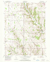
Editions of this 1955 Reily Map
Other maps of this area

1911 · Oxford
USGS Topo · 1:62,500

1915 · College Corner
USGS Topo · 1:48,000

1915 · Harrison
USGS Topo · 1:48,000

1915 · Hamilton
USGS Topo · 1:62,500

1917 · Hamilton
USGS Topo · 1:62,500

1918 · College Corner
USGS Topo · 1:62,500

1948 · Fairfield
USGS Topo · 1:24,000

1953 · Cincinnati
USGS Topo · 1:250,000

1955 · Harrison
USGS Topo · 1:24,000

1955 · Mount Carmel
USGS Topo · 1:24,000