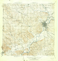
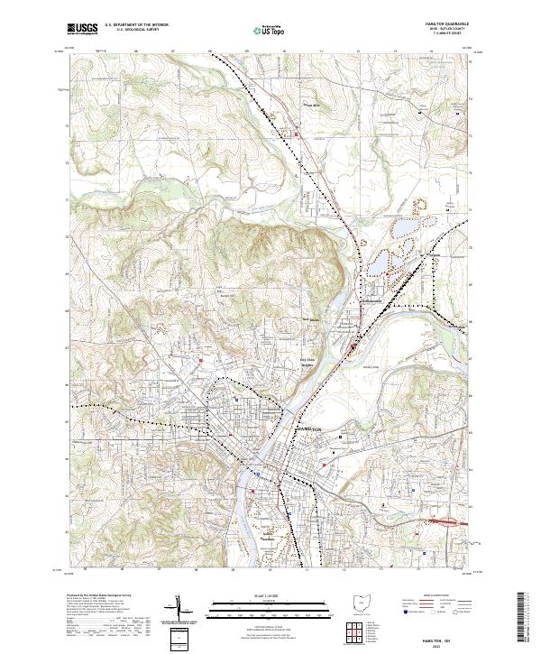
1917 Map of Hamilton
USGS Topo · Published 1942About this map
The Miami River corridor dominates this 1917 survey of Butler County, anchoring the industrial hub of Hamilton and its southern suburb of Lindenwald. The landscape reveals a complex network of early 20th-century transportation, where the Miami and Erie Canal runs parallel to the Ohio Electric RR (Detroit Line) and the Cincinnati and Dayton Electric RR. These transit lines supported a densely settled valley that contrasts sharply with the western uplands, where small agricultural hamlets like Darrtown, Millville, and Okeana dot the hills.
Find a feature on this map
87 named features on this map. Tap any name to fly to it.
Don’t see what you’re looking for? This feature index may not catch every label — zoom into the map to look around manually.
Map Details
Editions of this 1917 Hamilton Map
This is the sole edition of this map. No revisions or reprints were ever made.
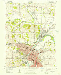
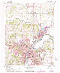
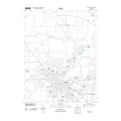
Historical Maps of Hamilton Through Time
9 maps found