
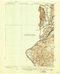
1915 Map of Lawrenceburg
USGS Topo · Published 1915About this map
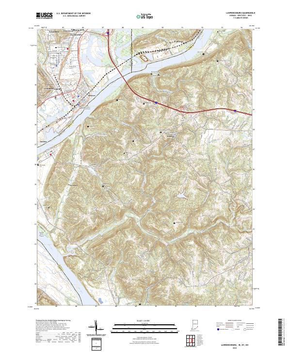
The confluence of the Whitewater River, Miami River, and Ohio River creates a complex landscape of waterways and rail corridors along the Indiana, Kentucky, and Ohio borders. Surveyed under the direction of R. B. Marshall, this 1915 study details a critical transportation bottleneck where the Cleveland Cincinnati Chicago and St Louis railroad and an Electric line weave through the river valleys. Local infrastructure is prominently featured, including the Suspension Bridge near Cilley and the appropriately named Lost Bridge. Small rural settlements like Simmonson Station and Valley Junction serve as focal points for the region's early 20th-century development, while upland landmarks such as Hill School and Whitewater School provide specific points of interest for genealogists tracing local family history in this tri-state area.
Find a feature on this map
27 named features on this map. Tap any name to fly to it.
Don’t see what you’re looking for? This feature index may not catch every label — zoom into the map to look around manually.
Map Details
Editions of this 1915 Lawrenceburg Map
This is the sole edition of this map. No revisions or reprints were ever made.
Historical Maps of Burlington Through Time
10 maps found
1915 Lawrenceburg
Dearborn County, IN

1928 Lawrenceburg
Dearborn County, IN
1932 Lawrenceburg
Dearborn County, IN
1943 Lawrenceburg
Dearborn County, IN
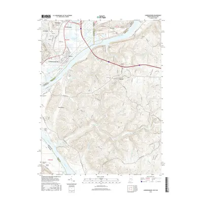
1981 Lawrenceburg
Dearborn County, IN
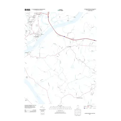
2010 Lawrenceburg
Dearborn County, IN
2013 Lawrenceburg
Dearborn County, IN
2016 Lawrenceburg
Dearborn County, IN
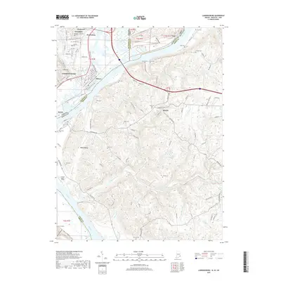
2019 Lawrenceburg
Dearborn County, IN
2022 Lawrenceburg
Dearborn County, IN
Featured Locations
- Burlington, KY
- Harrison, Harrison Township
- Aurora, Center Township
- Greendale, Lawrenceburg Township
- Lawrenceburg, Lawrenceburg Township