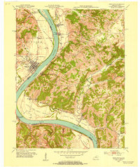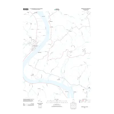
1943 Map of Rising Sun
USGS Topo · Published 1943About this map
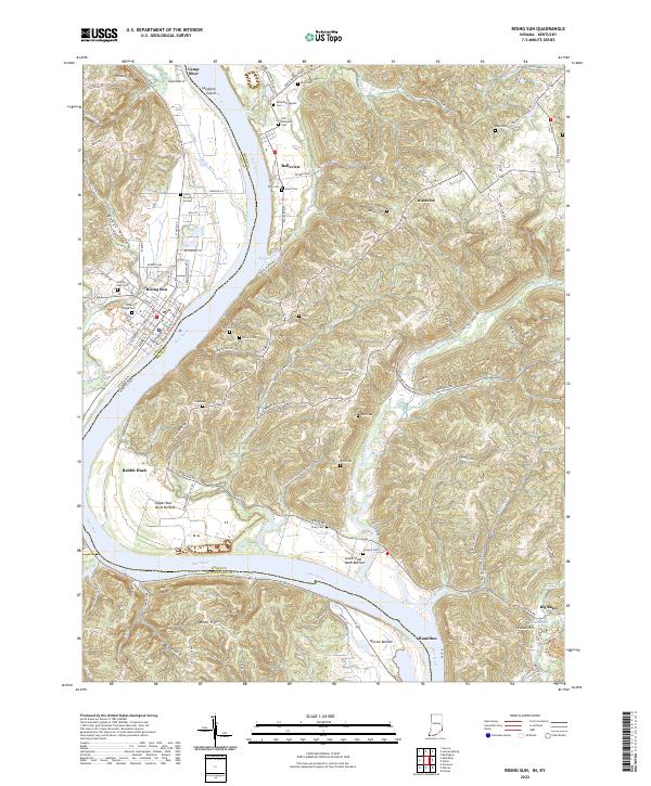
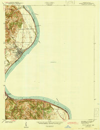
Ohio River navigation and rural development in southeastern Indiana are meticulously documented in this early 1940s survey. The city of Rising Sun serves as the focal point, situated along a sharp bend in the river across from the Kentucky border. The landscape is characterized by a mix of river bottoms and elevated ridges, with Mexico Bottom illustrating the fertile floodplains that supported local agriculture. Several historical burial grounds, including Lagrange Cem, German Cem, and Cedar Hedge Cem, offer valuable data for genealogists tracing family roots in the Randolph and Ohio County areas.
Find a feature on this map
32 named features on this map. Tap any name to fly to it.
Don’t see what you’re looking for? This feature index may not catch every label — zoom into the map to look around manually.
Map Details
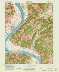
Editions of this 1943 Rising Sun Map
This is the sole edition of this map. No revisions or reprints were ever made.
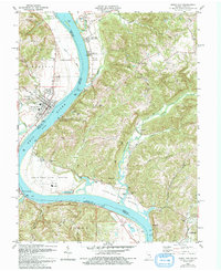
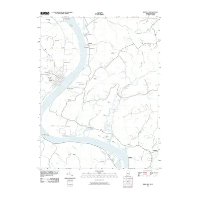
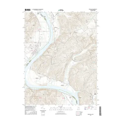
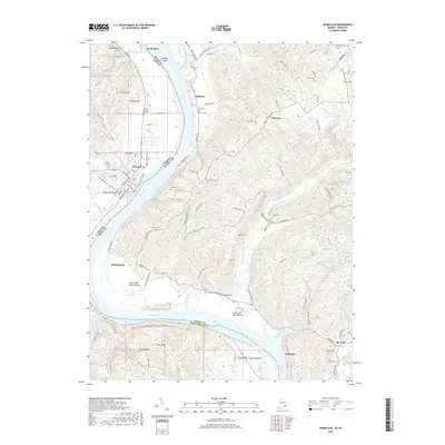
Historical Maps of Rising Sun Through Time
9 maps found