
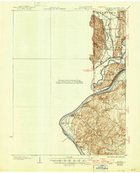
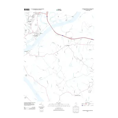
1928 Map of Lawrenceburg
USGS Topo · Published 1962About this map
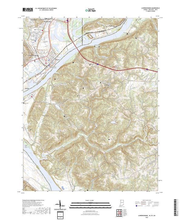
The Ohio River dominates this tri-state corridor where Indiana, Ohio, and Kentucky meet, serving as the primary geographic anchor for a landscape defined by its waterways. The confluence of the Whitewater River and the Miami River creates a complex network of bottomlands and ridges, dotted with early settlements like Elizabethtown and North Bend. The map illustrates a robust transportation system of the era, featuring the Cleveland Cincinnati Chicago and St Louis RR and the Baltimore and Ohio RR intersecting at Valley Junction. Numerous rural landmarks such as the Bullittsburg Ch and several one-room schoolhouses, including Woolper Sch and Locate Grove School, point to the established community structure of the late 1920s. Vital river crossings like the Aurora Ferry and the Suspension Bridge reflect the logistical challenges and solutions of this river-front economy.
Find a feature on this map
51 named features on this map. Tap any name to fly to it.
Don’t see what you’re looking for? This feature index may not catch every label — zoom into the map to look around manually.
Map Details
Editions of this 1928 Lawrenceburg Map
This is the sole edition of this map. No revisions or reprints were ever made.
Historical Maps of Burlington Through Time
10 maps found

1915 Lawrenceburg
Dearborn County, IN
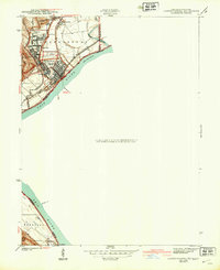
1928 Lawrenceburg
Dearborn County, IN
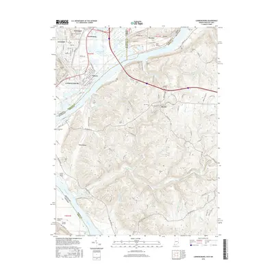
1932 Lawrenceburg
Dearborn County, IN
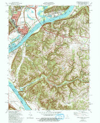
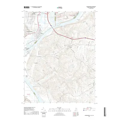
1943 Lawrenceburg
Dearborn County, IN
1981 Lawrenceburg
Dearborn County, IN
2010 Lawrenceburg
Dearborn County, IN
2013 Lawrenceburg
Dearborn County, IN
2016 Lawrenceburg
Dearborn County, IN
2019 Lawrenceburg
Dearborn County, IN
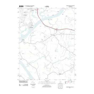
2022 Lawrenceburg
Dearborn County, IN
Featured Locations
- Burlington, KY
- Harrison, Harrison Township
- Aurora, Center Township
- Greendale, Lawrenceburg Township
- Lawrenceburg, Lawrenceburg Township