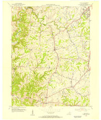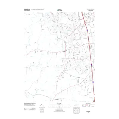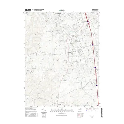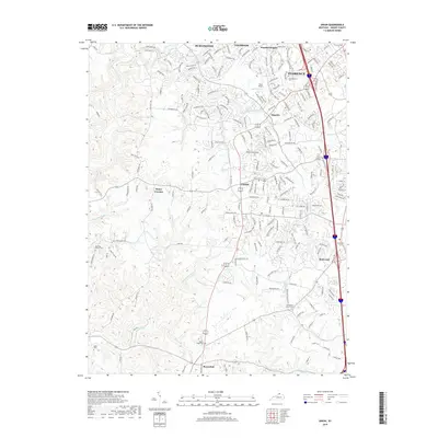
1950 Map of Union
USGS Topo · Published 1952About this map
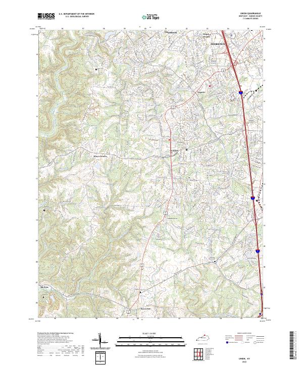
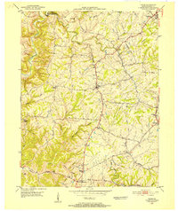
Gunpowder Creek and its many tributaries, including South Fork Gunpowder Creek and Rice Branch, carve a complex drainage pattern across this northern Kentucky landscape. This 1950 field check captures the area during a period of rural stability before the expansion of nearby urban centers, showing a network of established family farms and small crossroads communities. Small settlements like Sugartit and Hueys Corners are linked by winding roads such as Beaman Lane and Hicks Pike.
Find a feature on this map
36 named features on this map. Tap any name to fly to it.
Don’t see what you’re looking for? This feature index may not catch every label — zoom into the map to look around manually.
Map Details
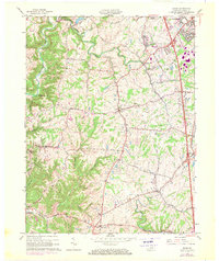
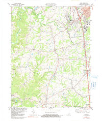
Editions of this 1950 Union Map
This is the sole edition of this map. No revisions or reprints were ever made.
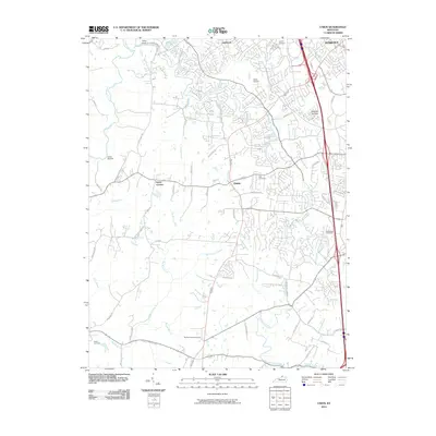
Historical Maps of Florence Through Time
9 maps found