
1914 Map of East Cincinnati
USGS Topo · Published 1914About this map
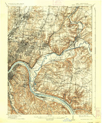
The Little Miami River and Ohio River define the industrial and residential geography of the eastern Cincinnati suburbs and Northern Kentucky in the early 20th century. This survey illustrates the dense rail infrastructure that fueled the region's growth, including the Pittsburgh Cincinnati Chicago & St Louis RR and the Norfolk and Western RR. Prominent social and civic institutions like the St Clare Convent, City Infirmary, and St Aloysius Orphan Asylum appear alongside early infrastructure projects like the Cincinnati Waterworks and the Observatory in Hyde Park. The map captures the distinct character of the riverfront, from the residential hills of Fort Thomas and Southgate to the burgeoning transit hubs of Madisonville and Milford. Extensive school house numbering and the presence of the Glenrose PO Mount Carmel Sta provide specific data points for those researching local family history.
Find a feature on this map
125 named features on this map. Tap any name to fly to it.
Don’t see what you’re looking for? This feature index may not catch every label — zoom into the map to look around manually.
Map Details
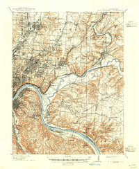
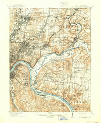
Editions of this 1914 East Cincinnati Map
4 editions found
Other maps of this area

1898 · East Cincinnati
USGS Topo · 1:62,500

1904 · Mason
USGS Topo · 1:62,500

1906 · Mason
USGS Topo · 1:62,500

1914 · West Cincinnati
USGS Topo · 1:62,500

1914 · Batavia
USGS Topo · 1:48,000

1914 · Morrow
USGS Topo · 1:62,500

1915 · Hamilton
USGS Topo · 1:62,500

1916 · Batavia
USGS Topo · 1:62,500

1916 · Morrow
USGS Topo · 1:62,500

1917 · Hamilton
USGS Topo · 1:62,500