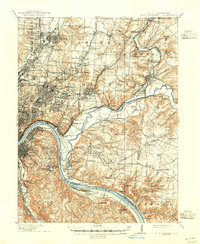
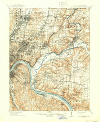
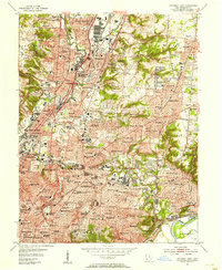
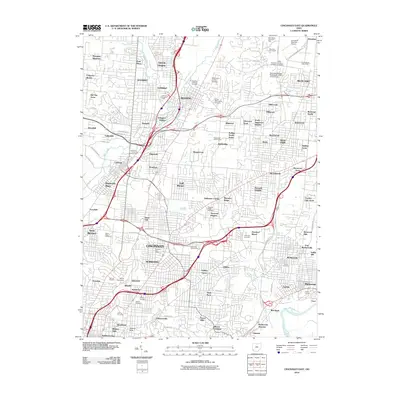
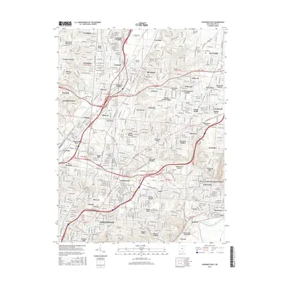
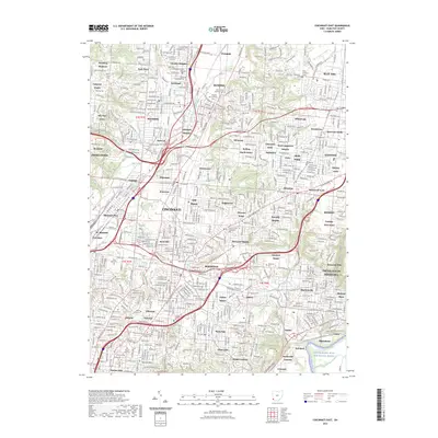
1914 Map of East Cincinnati
USGS Topo · Published 1941About this map
The Little Miami River and Ohio River converge in this detailed look at Hamilton County just before World War I, revealing an intricate network of transit and institutional history. The landscape is defined by the Miami and Erie Canal and a dense web of rail lines, including the Cincinnati Hamilton and Dayton RR and the Cincinnati Lebanon and Northern RR. These corridors fostered a string of industrial and residential nodes like Saint Bernard, Lockland, and Reading.
Find a feature on this map
155 named features on this map. Tap any name to fly to it.
Don’t see what you’re looking for? This feature index may not catch every label — zoom into the map to look around manually.
Map Details
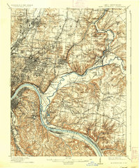
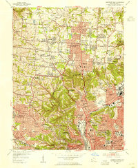
Editions of this 1914 East Cincinnati Map
4 editions found

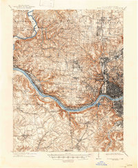
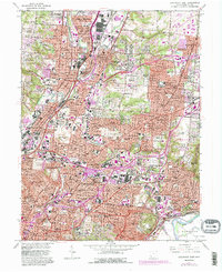
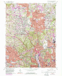
Historical Maps of Cincinnati Through Time
17 maps found

1898 East Cincinnati
Hamilton County, OH
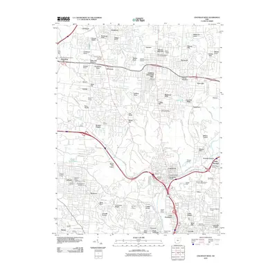
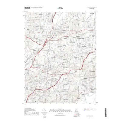
1914 East Cincinnati
Hamilton County, OH
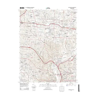
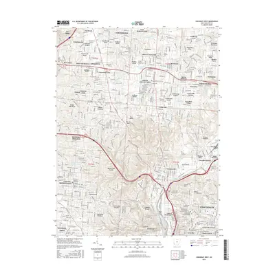
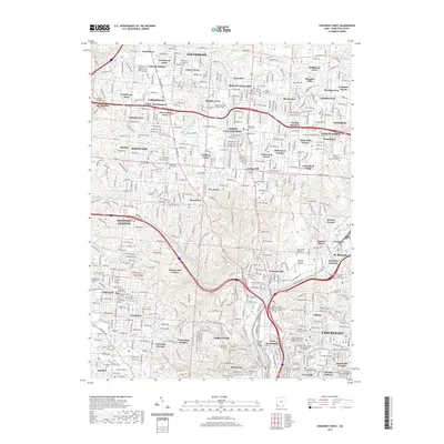
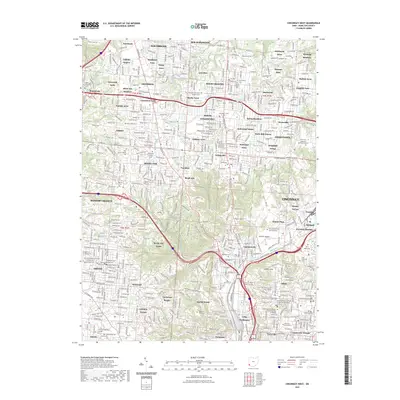
1914 West Cincinnati
Hamilton County, OH
1953 Cincinnati East
Hamilton County, OH
1953 Cincinnati West
Hamilton County, OH
1961 Cincinnati East
Hamilton County, OH
1961 Cincinnati West
Hamilton County, OH
2010 Cincinnati East
Hamilton County, OH
2010 Cincinnati West
Hamilton County, OH
2013 Cincinnati East
Hamilton County, OH
2013 Cincinnati West
Hamilton County, OH
2016 Cincinnati East
Hamilton County, OH
2016 Cincinnati West
Hamilton County, OH
2019 Cincinnati East
Hamilton County, OH
2019 Cincinnati West
Hamilton County, OH
2023 Cincinnati East
Hamilton County, OH
2023 Cincinnati West
Hamilton County, OH