
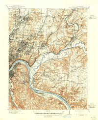
1898 Map of East Cincinnati
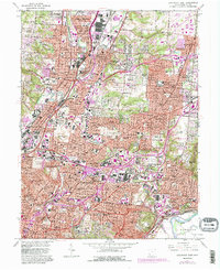
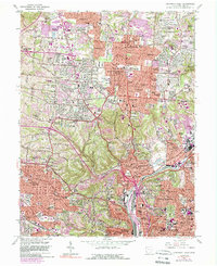
USGS Topo · Published 1964About this map
The Ohio River and Little Miami River dominate this turn-of-the-century landscape, carving through Hamilton County where industrial expansion meets established suburban retreats. The density of infrastructure in Carthage and Norwood contrasts with the leisure and institutional sites along the riverbanks, most notably the Coney Island Resort and the Cincinnati Waterworks near California. This era shows a complex social landscape, with several major facilities such as the Longview Asylum, County Infirmary, and St Aloysius Waisenhaus clustered in the northern suburbs.
Find a feature on this map
145 named features on this map. Tap any name to fly to it.
Don’t see what you’re looking for? This feature index may not catch every label — zoom into the map to look around manually.
Map Details
Editions of this 1898 East Cincinnati Map
This is the sole edition of this map. No revisions or reprints were ever made.
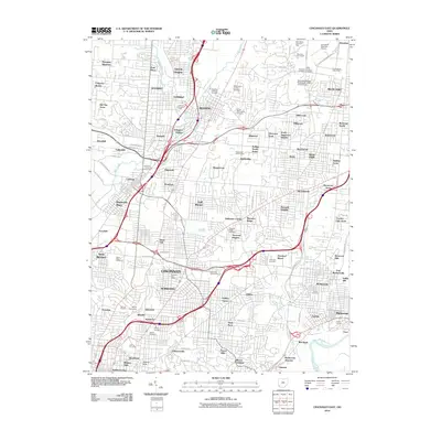
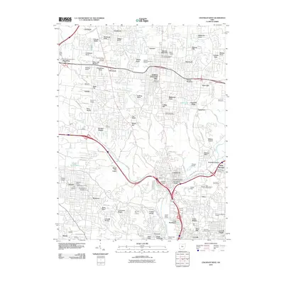
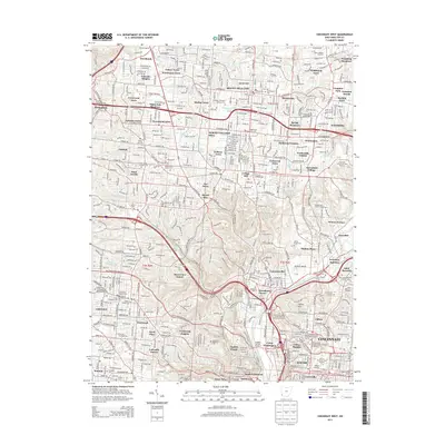
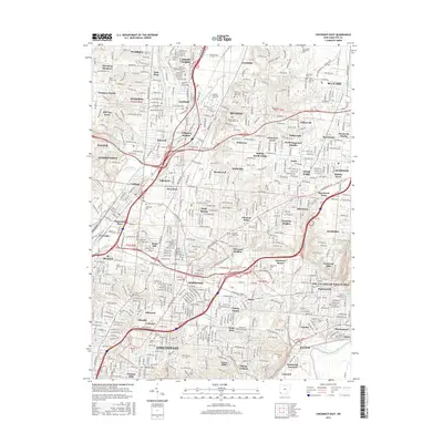
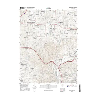
Historical Maps of Cincinnati Through Time
17 maps found
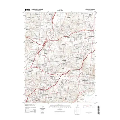
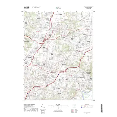
1898 East Cincinnati
Hamilton County, OH
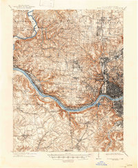
1914 East Cincinnati
Hamilton County, OH
1914 West Cincinnati
Hamilton County, OH
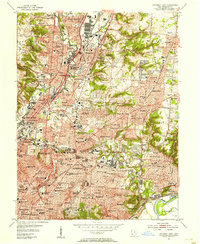
1953 Cincinnati East
Hamilton County, OH
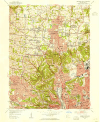
1953 Cincinnati West
Hamilton County, OH
1961 Cincinnati East
Hamilton County, OH
1961 Cincinnati West
Hamilton County, OH
2010 Cincinnati East
Hamilton County, OH
2010 Cincinnati West
Hamilton County, OH
2013 Cincinnati East
Hamilton County, OH
2013 Cincinnati West
Hamilton County, OH
2016 Cincinnati East
Hamilton County, OH
2016 Cincinnati West
Hamilton County, OH
2019 Cincinnati East
Hamilton County, OH
2019 Cincinnati West
Hamilton County, OH
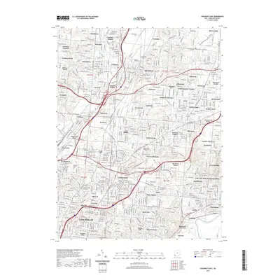
2023 Cincinnati East
Hamilton County, OH
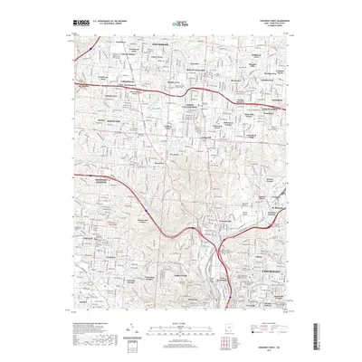
2023 Cincinnati West
Hamilton County, OH