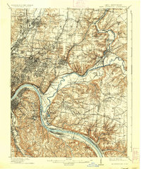
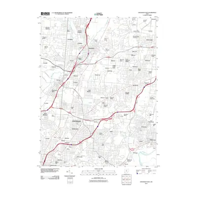
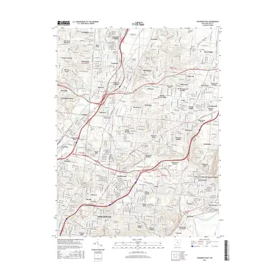
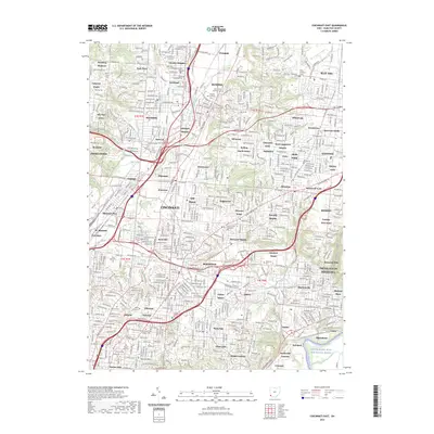
1914 Map of East Cincinnati
USGS Topo · Published 1936About this map
The Ohio River and the Little Miami River define the intricate topography of this region just east of the city center during the early twentieth century. Extensive rail infrastructure, including the Baltimore and Ohio Southwestern and the Cincinnati Milford and Loveland Electric lines, connects established residential and industrial hubs like Saint Bernard, Lockland, and Madisonville. The map reveals a landscape in transition, where institutional landmarks such as the City Infirmary, St Clare Convent, and the St Aloysius Waisenhaus sit alongside recreation sites like the Coney Island Resort. Higher ground is marked by the Observatory and numerous named elevations like Mount Summit. Along the waterways, the defunct Miami and Erie Canal traces a path through Carthage and Elmwood Place, while a dense network of numbered schools, such as School No 7 and School No 11, serves the growing populations of Sycamore and Columbia townships.
Find a feature on this map
126 named features on this map. Tap any name to fly to it.
Don’t see what you’re looking for? This feature index may not catch every label — zoom into the map to look around manually.
Map Details
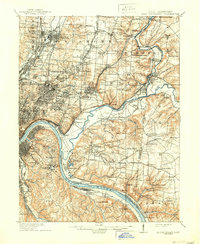
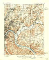
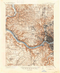
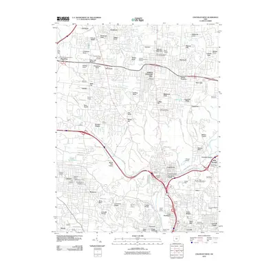
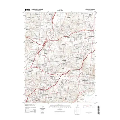
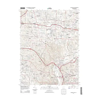
Editions of this 1914 East Cincinnati Map
4 editions found

Historical Maps of Cincinnati Through Time
17 maps found

1898 East Cincinnati
Hamilton County, OH
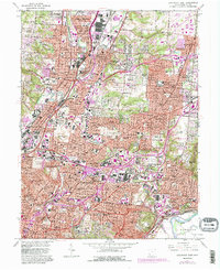
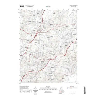
1914 East Cincinnati
Hamilton County, OH
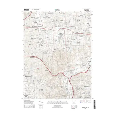
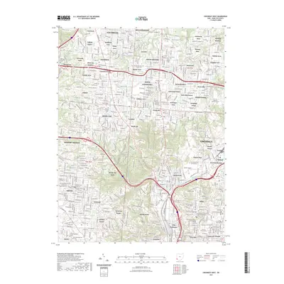
1914 West Cincinnati
Hamilton County, OH
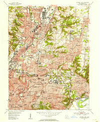
1953 Cincinnati East
Hamilton County, OH
1953 Cincinnati West
Hamilton County, OH
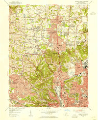
1961 Cincinnati East
Hamilton County, OH
1961 Cincinnati West
Hamilton County, OH
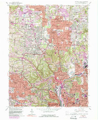
2010 Cincinnati East
Hamilton County, OH
2010 Cincinnati West
Hamilton County, OH
2013 Cincinnati East
Hamilton County, OH
2013 Cincinnati West
Hamilton County, OH
2016 Cincinnati East
Hamilton County, OH
2016 Cincinnati West
Hamilton County, OH
2019 Cincinnati East
Hamilton County, OH
2019 Cincinnati West
Hamilton County, OH
2023 Cincinnati East
Hamilton County, OH
2023 Cincinnati West
Hamilton County, OH