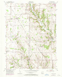
1955 Map of Reily
USGS Topo · Published 1971About this map
Indian Creek meanders through the heart of the Reily area, defining the drainage patterns that shaped the early development of western Butler County. The Chesapeake and Ohio railroad cuts a diagonal line across the landscape, linking small crossroads and agricultural hubs like Raymond and Peoria. This mid-century survey captures a rural environment organized around localized social centers, evidenced by the numerous small burying grounds and places of worship such as Springfield Cem, the Mathew-Smith Cem, and Walker Ch. The political geography is marked by the First Principal Meridian, which separates the township divisions and serves as a foundational baseline for the region's land management. From the clusters at Reily to the scattered farms near Mount Carmel, the map records a stable agrarian era before late-twentieth-century expansions.
Find a feature on this map
42 named features on this map. Tap any name to fly to it.
Don’t see what you’re looking for? This feature index may not catch every label — zoom into the map to look around manually.
Map Details
Editions of this 1955 Reily Map
Other maps of this area

1911 · Oxford
USGS Topo · 1:62,500

1915 · College Corner
USGS Topo · 1:48,000

1915 · Harrison
USGS Topo · 1:48,000

1915 · Hamilton
USGS Topo · 1:62,500

1917 · Hamilton
USGS Topo · 1:62,500

1918 · College Corner
USGS Topo · 1:62,500

1948 · Fairfield
USGS Topo · 1:24,000

1953 · Cincinnati
USGS Topo · 1:250,000

1955 · Harrison
USGS Topo · 1:24,000

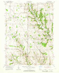
1955 · Reily
USGS Topo · 1:24,000