
Historical Maps of Butler County, Ohio
What stories do these 98 old maps tell about Butler County's past? From 1904 to present day, these maps reveal the evolution of streets, neighborhoods, iconic landmarks, and natural features in stunning high-res detail. Whether you're a history enthusiast, genealogist, or professional in education, environmental work, or architecture, these maps are perfect for exploration, research, and discovery.
Discover Butler County's history through maps:
- Trace Butler County's growth: Explore earlier and latest maps and editions to uncover how the region changed over time.
- Examine technical details: Each map includes its creators, publishers, scale, dimensions, and full source information.
- Layer maps with modern tools & imagery: Compare historical maps to modern-day with high-resolution satellite imagery and detailed LiDAR layers.
- Sourced from trusted archives: Carefully preserved and digitized by institutions like the United Stated Geological Survey and the US Library of Congress.
- Access in any format: View and explore in high resolution, download for offline use, or order a museum-quality print for yourself or a loved one.
Begin your journey into Butler County's history with these remarkable must-see maps.
Butler County, OH maps
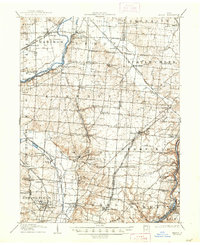
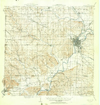
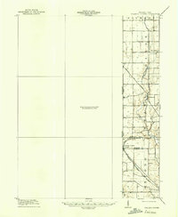
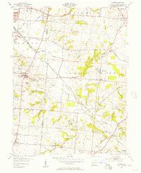
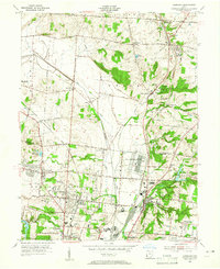
(98)- 1904 Map of Mason, 1958 Print
 1904 Mason1958 Print · USGSCovers Butler County, including Hamilton, Middletown, and other nearby areas
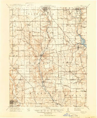
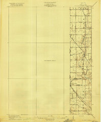
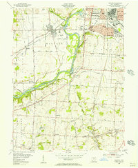
 - 1906 Map of Mason, 1939 Print
 1906 Mason1939 Print · USGSCovers Butler County, including Hamilton, Middletown, and other nearby areas
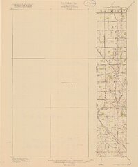
 - 1906 Map of Mason, 1948 Print
 1906 Mason1948 Print · USGSCovers Butler County, including Hamilton, Middletown, and other nearby areas
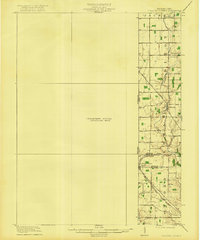
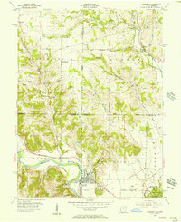
 - 1908 Map of Miamisburg, 1948 Print
 1908 Miamisburg1948 Print · USGSCovers Butler County, including Dayton, Middletown, and other nearby areas
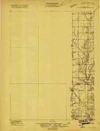
 - 1911 Map of Oxford, 1950 Print
 1911 Oxford1950 Print · USGSCovers Butler County, including Oxford, Eaton, and other nearby areas
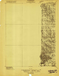
 - 1915 Map of College Corner
 1915 College Corner1915 Print · USGSCovers Butler County, including Richmond, Oxford, and other nearby areas
 - 1915 Map of Harrison
 1915 Harrison1915 Print · USGSCovers Butler County, including Oxford, Harrison, and other nearby areas
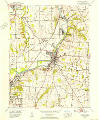
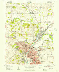
 - 1915 Map of Hamilton
 1915 Hamilton1915 Print · USGSCovers Butler County, including Hamilton, Fairfield, and other nearby areas
 - 1915 Map of Harrison
 1915 Harrison1915 Print · USGSCovers Butler County, including Oxford, Harrison, and other nearby areas
 - 1915 Map of Hamilton, 1956 Print
 1915 Hamilton1956 Print · USGSCovers Butler County, including Hamilton, Fairfield, and other nearby areas
 - 1917 Map of Hamilton, 1942 Print
 1917 Hamilton1942 Print · USGSCovers Butler County, including Hamilton, Fairfield, and other nearby areas
 - 1918 Map of College Corner
 1918 College Corner1918 Print · USGSCovers Butler County, including Richmond, Oxford, and other nearby areas
 - 1918 Map of College Corner
 1918 College Corner1918 Print · USGSCovers Butler County, including Richmond, Oxford, and other nearby areas
 - 1918 Map of College Corner, 1922 Print
 1918 College Corner1922 Print · USGSCovers Butler County, including Richmond, Oxford, and other nearby areas
 - 1918 Map of College Corner, 1922 Print
 1918 College Corner1922 Print · USGSCovers Butler County, including Richmond, Oxford, and other nearby areas
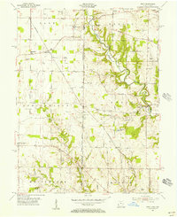
 - 1951 Map of Franklin, 1953 Print
 1951 Franklin1953 Print · USGSCovers Butler County, including Middletown, Miamisburg, and other nearby areas
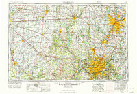
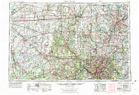
 - 1953 Map of Cincinnati, 1965 Print
 1953 Cincinnati1965 Print · USGSCovers Butler County, including Indianapolis, Cincinnati, and other nearby areas
 - 1953 Map of Cincinnati, 1976 Print
 1953 Cincinnati1976 Print · USGSCovers Butler County, including Indianapolis, Cincinnati, and other nearby areas
 - 1953 Map of Cincinnati, 1976 Print
 1953 Cincinnati1976 Print · USGSCovers Butler County, including Indianapolis, Cincinnati, and other nearby areas
 - 1955 Map of Monroe, 1956 Print
 1955 Monroe1956 Print · USGSCovers Butler County, including Middletown, Mason, and other nearby areas
 - 1955 Map of Harrison, 1956 Print
 1955 Harrison1956 Print · USGSCovers Butler County, including Harrison, West Harrison, and other nearby areas
 - 1955 Map of Hamilton, 1956 Print
 1955 Hamilton1956 Print · USGSCovers Butler County, including Hamilton, Ross Township, and other nearby areas
 - 1955 Map of Reily, 1956 Print
 1955 Reily1956 Print · USGSCovers Butler County, including Oxford, Reily Township, and other nearby areas
 - 1955 Map of Glendale, 1956 Print
 1955 Glendale1956 Print · USGSCovers Butler County, including Hamilton, Fairfield, and other nearby areas
 - 1955 Map of Trenton, 1956 Print
 1955 Trenton1956 Print · USGSCovers Butler County, including Middletown, Lemon Township, and other nearby areas
Showing maps 1-25 of 98
Top cities in Butler County
- Hamilton historical maps
- Middletown historical maps
- Fairfield historical maps
- Lemon Township historical maps
- Trenton historical maps
- Ross Township historical maps
See more
Frequently asked questions
- What are the different types of historical maps available for Butler County?
- What is the oldest map of Butler County?
- Where can I purchase historical maps of Butler County for my home or office?
- Where can I download high-res historical maps of Butler County?
- Are there historical topographic maps available for Butler County?
- Is there historical aerial imagery available for Butler County?
- Where are historical maps of Butler County sourced from?