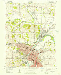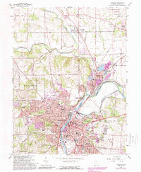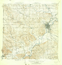
1915 Map of Hamilton
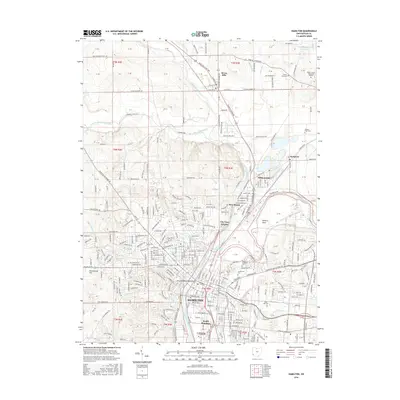
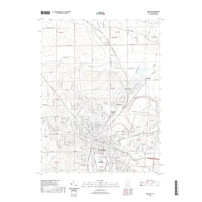
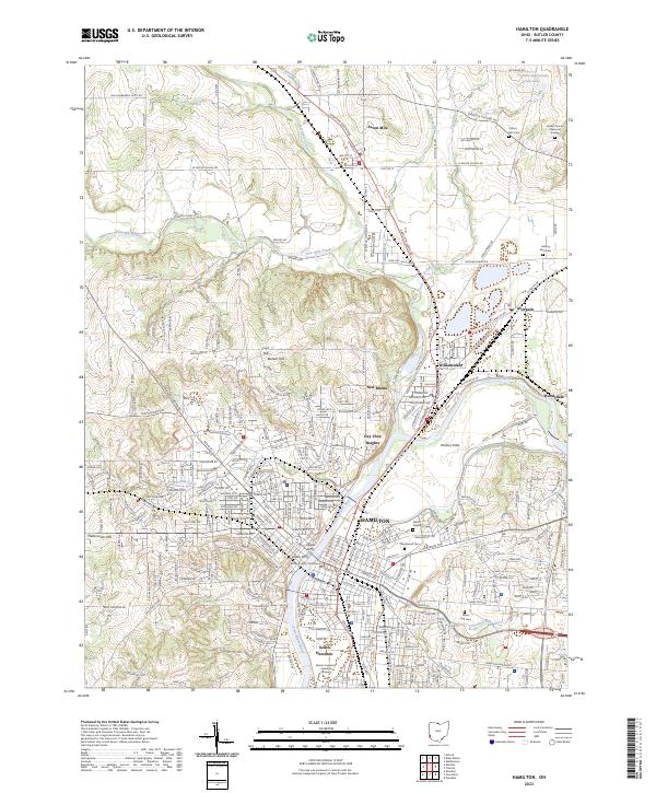
USGS Topo · Published 1956About this map
The industrial and agricultural landscape of Butler County takes center stage in this early 20th-century survey, defined by the convergence of water and rail power. Hamilton serves as the primary urban hub, positioned where the Miami River meets an intricate network of transit, including the Miami and Erie Canal and the Cincinnati and Miami Valley Electric RR. This period captures the coexistence of old-world transport and the rising electric rail era, with the Dayton and Cincinnati Electric RR threading through growing neighborhoods like Lindenwald.
Find a feature on this map
93 named features on this map. Tap any name to fly to it.
Don’t see what you’re looking for? This feature index may not catch every label — zoom into the map to look around manually.
Map Details
Editions of this 1915 Hamilton Map
2 editions found

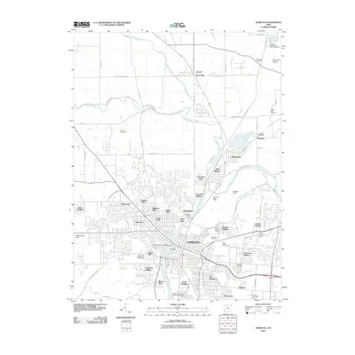
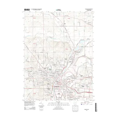
Historical Maps of Hamilton Through Time
9 maps found