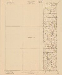
1918 Map of College Corner
USGS Topo · Published 1918About this map
The Indiana Ohio Boundary Line bisects this 1918 preliminary survey, documenting the development of the borderlands between Preble and Butler counties. The village of College Corner serves as the focal point of the southern region, where the Cincinnati Indianapolis and Western RR cuts across the landscape, providing a critical transportation link for this agricultural community. To the north, small settlements like Fairhaven and West Florence are connected by the prominent Hamilton and Richmond Road, illustrating the early 20th-century road network that supported the local township economies of Jackson, Dixon, and Israel. Drainage patterns are defined by the winding course of Fourmile Creek and its tributaries, including Harkrader Creek and Little Fourmile Creek, which carve through the terrain. Evidence of local infrastructure is noted by features such as School No 3 and the springs at Tallawanda Springs, marking specific gathering points and resources for residents during this era.
Find a feature on this map
19 named features on this map. Tap any name to fly to it.
Don’t see what you’re looking for? This feature index may not catch every label — zoom into the map to look around manually.
Map Details
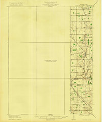
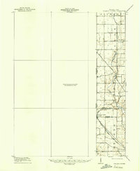
Editions of this 1918 College Corner Map
4 editions found
Other maps of this area

1911 · Oxford
USGS Topo · 1:62,500

1915 · New Paris
USGS Topo · 1:48,000

1915 · College Corner
USGS Topo · 1:48,000

1915 · Harrison
USGS Topo · 1:48,000

1915 · Hamilton
USGS Topo · 1:62,500

1917 · Hamilton
USGS Topo · 1:62,500

1918 · College Corner
USGS Topo · 1:62,500

1918 · New Paris
USGS Topo · 1:62,500

1948 · Fairfield
USGS Topo · 1:24,000

1953 · Cincinnati
USGS Topo · 1:250,000