
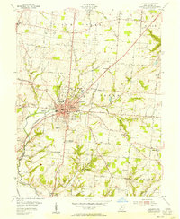
1955 Map of Monroe
USGS Topo · Published 1956About this map
The village of Monroe serves as a central hub for this mid-century portrait of the Butler and Warren County borderlands. The landscape is defined by its institutional and communal history, notably the presence of the Otterbein Home and Lebanon State Farm, along with several Shaker-related sites such as Otterbein Shaker Cemetery, West Shaker Cemetery, and East Shaker Cemetery. These landmarks, along with the Mt Pleasant Home, suggest a region shaped by established charitable and religious foundations.
Find a feature on this map
63 named features on this map. Tap any name to fly to it.
Don’t see what you’re looking for? This feature index may not catch every label — zoom into the map to look around manually.
Map Details
Editions of this 1955 Monroe Map
This is the sole edition of this map. No revisions or reprints were ever made.
Other maps of this area

1904 · Mason
USGS Topo · 1:62,500

1906 · Mason
USGS Topo · 1:62,500

1908 · Miamisburg
USGS Topo · 1:62,500

1913 · Waynesville
USGS Topo · 1:62,500

1914 · Morrow
USGS Topo · 1:62,500

1915 · Waynesville
USGS Topo · 1:62,500

1916 · Morrow
USGS Topo · 1:62,500

1951 · Franklin
USGS Topo · 1:24,000

1953 · Cincinnati
USGS Topo · 1:250,000
1955 · Lebanon
USGS Topo · 1:24,000