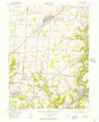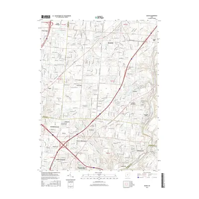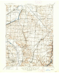
1906 Map of Mason
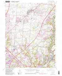
USGS Topo · Published 1948About this map
Miami River and Little Miami River define the eastern and western corridors of this agricultural and early industrial landscape at the start of the twentieth century. Between these waters, a dense network of steam and electric rail lines connected dozens of small agrarian centers. Settlements like Mason and Kings Mills sit alongside historical communal sites including Union Village and Shaker Village near Turtle Creek. The map documents the intricate rail infrastructure of the era, from the Detroit Line and the Middletown Branch to the pervasive Electric RR that linked these Butler and Warren County communities.
Find a feature on this map
93 named features on this map. Tap any name to fly to it.
Don’t see what you’re looking for? This feature index may not catch every label — zoom into the map to look around manually.
Map Details
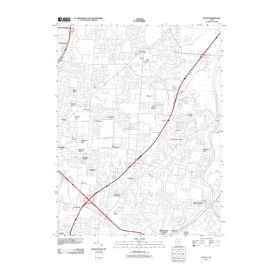
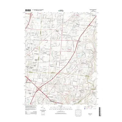
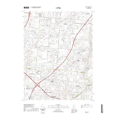
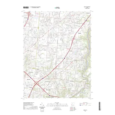
Editions of this 1906 Mason Map
2 editions found

Historical Maps of Hamilton Through Time
9 maps found