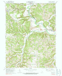
1972 Map of Metamora
USGS Topo · Published 1990About this map
Whitewater River cuts through the heart of this Indiana landscape, following a valley defined by the Penn Central railroad and the historic river route. The settlement of Metamora sits at the eastern edge near an Aqueduct, while the town of Laurel to the northwest is anchored by the Laurel Feeder Dam and the Laurel Indian Mound. This terrain is deeply etched by a network of drainage including Salt Creek, Jackson Creek, and Stillmans Creek, which carve out local landmarks like Derbyshire Falls and Halls Hollow. Genealogists will find a wealth of local history in the numerous burial grounds scattered across the townships, such as St Nicholas Cem, Stipps Hill Cem, and the Marlin Cem. The map also preserves the locations of early rural infrastructure, from the Red School to a Substation and a Radio Tower near Peppertown.
Find a feature on this map
68 named features on this map. Tap any name to fly to it.
Don’t see what you’re looking for? This feature index may not catch every label — zoom into the map to look around manually.
Map Details
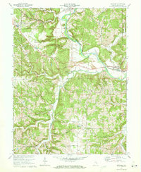
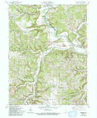
Editions of this 1972 Metamora Map
3 editions found
Other maps of this area

1946 · Batesville
USGS Topo · 1:24,000

1946 · New Point
USGS Topo · 1:24,000

1953 · Cincinnati
USGS Topo · 1:250,000

1956 · Everton
USGS Topo · 1:24,000

1956 · Alpine
USGS Topo · 1:24,000

1956 · Metamora
USGS Topo · 1:24,000

1956 · Brookville
USGS Topo · 1:24,000

1957 · Cincinnati
USGS Topo · 1:250,000

1958 · Spades
USGS Topo · 1:24,000

1958 · Clarksburg
USGS Topo · 1:24,000