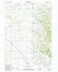
1959 Map of New Salem
USGS Topo · Published 1994About this map
The Indian Treaty Boundary cuts diagonally through the southeastern corner of this landscape, marking a significant historical line of demarcation across the rural townships of Orange, Noble, and Posey. The settlement of New Salem serves as a central hub, surrounded by a dense network of family-named burial grounds and rural congregations, including Gregg Cem, Heaton Cem, and the Old Friends Ch Cem. These sites, along with others like the Old Brick Cem and Little Salt Creek Cem, suggest a deeply rooted agrarian community centered around church and family heritage.
Find a feature on this map
35 named features on this map. Tap any name to fly to it.
Don’t see what you’re looking for? This feature index may not catch every label — zoom into the map to look around manually.
Map Details
Editions of this 1959 New Salem Map
Other maps of this area

1953 · Cincinnati
USGS Topo · 1:250,000

1956 · Alpine
USGS Topo · 1:24,000

1956 · Metamora
USGS Topo · 1:24,000

1956 · Connersville
USGS Topo · 1:24,000

1957 · Cincinnati
USGS Topo · 1:250,000

1958 · Clarksburg
USGS Topo · 1:24,000

1959 · Milroy
USGS Topo · 1:24,000

1959 · Rushville
USGS Topo · 1:24,000

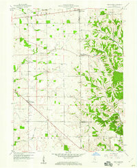
1959 · New Salem
USGS Topo · 1:24,000

1959 · Mays
USGS Topo · 1:24,000