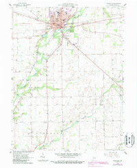
1959 Map of Rushville
USGS Topo · Published 1988About this map
The Flatrock River winds through the heart of the county seat at Rushville, where late-1950s development meets the older patterns of Indiana's agricultural heartland. This period shows a well-established civic center featuring the Courthouse, City Hall, and several dedicated educational sites including Memorial Sch and St Marys Sch. Outside the city limits, the landscape transitions into the smaller settlements of Circleville and Milroy, the latter situated near the southern boundary along the Little Flatrock River. The map reveals a high concentration of community burial grounds, such as the expansive East Hill Cemetery and the more isolated County Farm Cem. A Landing Field southeast of town and a Covered Bridge further south illustrate the diverse modes of transit and the persistence of earlier engineering in the mid-century landscape.
Find a feature on this map
45 named features on this map. Tap any name to fly to it.
Don’t see what you’re looking for? This feature index may not catch every label — zoom into the map to look around manually.
Map Details
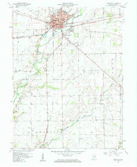
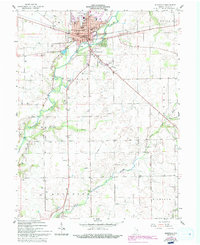
Editions of this 1959 Rushville Map
4 editions found
Other maps of this area

1942 · Columbus
USGS Topo · 1:125,000

1953 · Cincinnati
USGS Topo · 1:250,000

1957 · Cincinnati
USGS Topo · 1:250,000

1958 · Clarksburg
USGS Topo · 1:24,000

1959 · Milroy
USGS Topo · 1:24,000

1959 · Rushville
USGS Topo · 1:24,000

1959 · New Salem
USGS Topo · 1:24,000
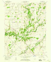
1959 · Adams
USGS Topo · 1:24,000

1959 · Mays
USGS Topo · 1:24,000

1959 · Falmouth
USGS Topo · 1:24,000