Old Maps of Jonesboro, Indiana for Hiking & Exploration
Hike through history with 15 historic maps of Jonesboro. Explore old trails, ghost towns, and forgotten backroads — perfect for outdoor adventurers and local explorers.
- Rediscover forgotten places: Map out old mining camps, roads, and footpaths that no longer exist on modern maps.
- Layer with modern tools: Combine with LiDAR or satellite views to plan hikes through historical terrain.
- Made for exploration: Popular among hikers, overlanders, and local history lovers.
Use these maps to find adventure and explore the hidden past of Jonesboro.
Jonesboro, IN maps
(15)- 1953 Map of Muncie, 1966 Print
 1953 Muncie1966 Print · USGSIndiana and Ohio borderlands thrive in the early fifties, showing a landscape defined by manufacturing cities and an intensive railroad network. Genealogists can trace family roots across the Indiana-Ohio line through Muncie, Celina, and Portland via the Pennsylvania railroad.5 unique versions available
 - 1956 Map of Muncie
 1956 Muncie1956 Print · USGSEastern Indiana and western Ohio are shown at a peak of rail-driven industry in the mid-fifties. Genealogists and rail historians can trace the paths of the Pennsylvania RR through Muncie or locate landmarks like Lake Saint Marys (Grand Lake Reservoir) and Frances Slocum State Forest.
 - 1960 Map of Fairmount, 1961 Print
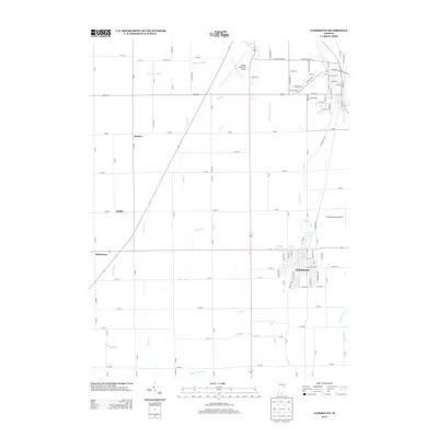
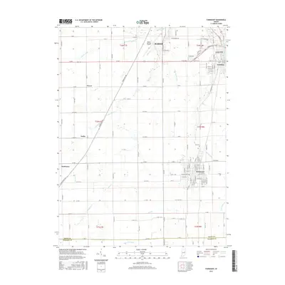
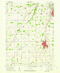 1960 Fairmount1961 Print · USGSFairmount and Jonesboro stand at the center of this 1960s Grant County landscape, split by two major railroads and an old treaty line. Genealogists can locate family sites near Hill Chapel, Little Ridge Cem, and the small community of Weaver.3 unique versions available
 - 1960 Map of Gas City, 1961 Print
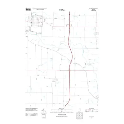
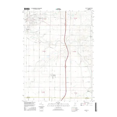
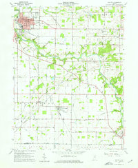 1960 Gas City1961 Print · USGSGrant County is shown during a period of steady growth and industrial rail activity in the early sixties. Genealogists and historians can locate family plots at Riverside Cem or trace the early paths of the PENNSYLVANIA and CHESAPEAKE AND OHIO railroads.4 unique versions available
 - 1986 Map of Muncie
 1986 Muncie1986 Print · USGSEast Central Indiana was a hub of manufacturing and higher education in the mid-eighties. Genealogists and historians can trace the streets of Muncie, locate rural Cem sites, and explore landmarks like Mounds State Park and Taylor Univ.3 unique versions available
 - 2010 Map of Gas City, 2010 Print
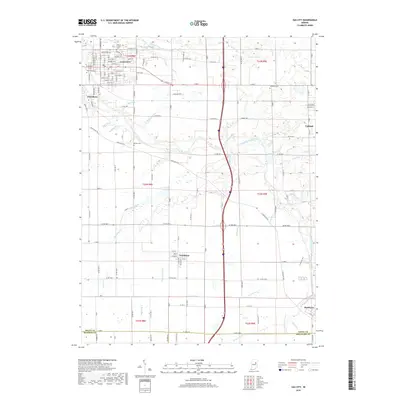
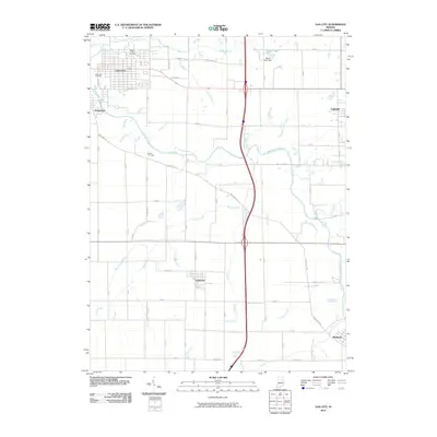 2010 Gas City2010 Print · USGSCovers Jonesboro, including Gas City, Upland, and other nearby areas
 - 2010 Map of Fairmount, 2010 Print
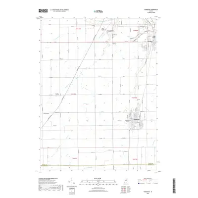
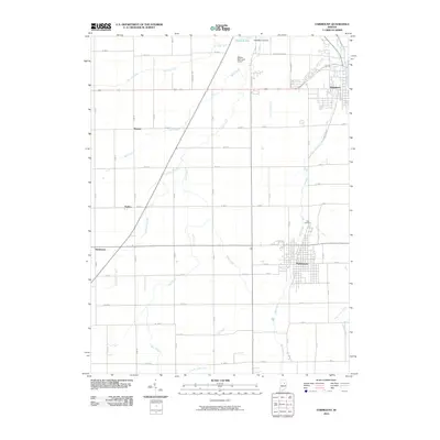 2010 Fairmount2010 Print · USGSCovers Jonesboro, including Marion, Gas City, and other nearby areas
 - 2013 Map of Fairmount, 2013 Print
 2013 Fairmount2013 Print · USGSCovers Jonesboro, including Marion, Gas City, and other nearby areas
 - 2013 Map of Gas City, 2013 Print
 2013 Gas City2013 Print · USGSCovers Jonesboro, including Gas City, Upland, and other nearby areas
 - 2016 Map of Gas City, 2016 Print
 2016 Gas City2016 Print · USGSCovers Jonesboro, including Gas City, Upland, and other nearby areas
 - 2016 Map of Fairmount, 2016 Print
 2016 Fairmount2016 Print · USGSCovers Jonesboro, including Marion, Gas City, and other nearby areas
 - 2019 Map of Gas City, 2019 Print
 2019 Gas City2019 Print · USGSCovers Jonesboro, including Gas City, Upland, and other nearby areas
 - 2019 Map of Fairmount, 2019 Print
 2019 Fairmount2019 Print · USGSCovers Jonesboro, including Marion, Gas City, and other nearby areas
 - 2022 Map of Fairmount, 2022 Print
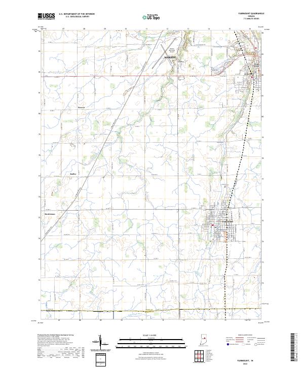 2022 Fairmount2022 Print · USGSFairmount and the surrounding Grant County countryside are shown here at the start of the 2020s, revealing a landscape defined by agricultural grids and small town centers. Researchers can trace family sites near Fairmount, Jonesboro, and Hackleman or locate burials at Park Cem.
 - 2022 Map of Gas City, 2022 Print
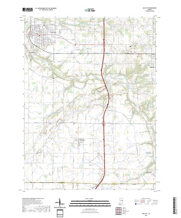 2022 Gas City2022 Print · USGSGrant County and its neighbors show a landscape of river-bend towns and prairie drainage at the start of the 2020s. Researchers can trace historic cemeteries like Jefferson Cem and the routes of old thoroughfares such as Wheeling Pike near Fowlerton.
End of results
Showing maps 1-15 of 15
Top cities near Jonesboro
- Marion historical maps
- Elwood historical maps
- Hartford City historical maps
- Alexandria historical maps
- Gas City historical maps
- Upland historical maps
See more
Frequently asked questions
- What are the different types of historical maps available for Jonesboro?
- What is the oldest map of Jonesboro?
- Where can I purchase historical maps of Jonesboro for my home or office?
- Where can I download high-res historical maps of Jonesboro?
- Are there historical topographic maps available for Jonesboro?
- Is there historical aerial imagery available for Jonesboro?
- Where are historical maps of Jonesboro sourced from?