Old Maps of Normal, Indiana for Hiking & Exploration
Hike through history with 9 historic maps of Normal. Explore old trails, ghost towns, and forgotten backroads — perfect for outdoor adventurers and local explorers.
- Rediscover forgotten places: Map out old mining camps, roads, and footpaths that no longer exist on modern maps.
- Layer with modern tools: Combine with LiDAR or satellite views to plan hikes through historical terrain.
- Made for exploration: Popular among hikers, overlanders, and local history lovers.
Use these maps to find adventure and explore the hidden past of Normal.
Normal, IN maps
(9)- 1953 Map of Muncie, 1966 Print
 1953 Muncie1966 Print · USGSIndiana and Ohio borderlands thrive in the early fifties, showing a landscape defined by manufacturing cities and an intensive railroad network. Genealogists can trace family roots across the Indiana-Ohio line through Muncie, Celina, and Portland via the Pennsylvania railroad.5 unique versions available
 - 1956 Map of Muncie
 1956 Muncie1956 Print · USGSEastern Indiana and western Ohio are shown at a peak of rail-driven industry in the mid-fifties. Genealogists and rail historians can trace the paths of the Pennsylvania RR through Muncie or locate landmarks like Lake Saint Marys (Grand Lake Reservoir) and Frances Slocum State Forest.
 - 1960 Map of Point Isabel, 1961 Print
 1960 Point Isabel1961 Print · USGSAgricultural life in central Indiana comes into focus during the early sixties, showing a landscape of small crossroads and family-named ditches. Genealogists can locate Antioch Ch, Knox Chapel, and the settlement of Point Isabel.4 unique versions available
 - 1986 Map of Muncie
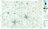 1986 Muncie1986 Print · USGSEast Central Indiana was a hub of manufacturing and higher education in the mid-eighties. Genealogists and historians can trace the streets of Muncie, locate rural Cem sites, and explore landmarks like Mounds State Park and Taylor Univ.3 unique versions available
 - 2010 Map of Point Isabel, 2010 Print
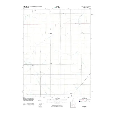 2010 Point Isabel2010 Print · USGSGrant County is captured in this survey during a period of modern agricultural stability. Genealogists and local historians can trace family ties through Abel Cemetery and examine the old footprints of Normal, Point Isabel, and Rigdon.
 - 2013 Map of Point Isabel, 2013 Print
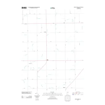 2013 Point Isabel2013 Print · USGSGrant County farming communities and rural crossroads appear in detail during the early twenty-first century. Genealogists and local historians can trace the landscapes surrounding Point Isabel, Rigdon, and landmarks like Dupouy Airport.
 - 2016 Map of Point Isabel, 2016 Print
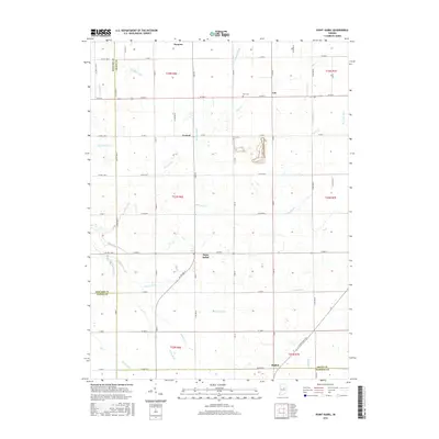 2016 Point Isabel2016 Print · USGSThe rural landscape of Grant and Madison counties is captured here in the mid-2010s, showing a well-established network of farm roads and drainage ditches. Genealogists and local historians can locate small settlements like Normal and Rigdon or trace the path of Wildcat Cr and Pipe Cr.
 - 2019 Map of Point Isabel, 2019 Print
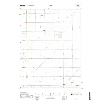 2019 Point Isabel2019 Print · USGSGrant County at the close of the 2010s reveals a structured agricultural grid defined by the historical drainage of the Wildcat Creek watershed. Researchers can locate the Alel Cem and trace the routes connecting Point Isabel, Swayzee, and Rigdon.
 - 2022 Map of Point Isabel, 2022 Print
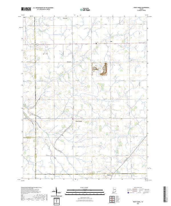 2022 Point Isabel2022 Print · USGSSettlements and farmsteads dot the Grant County landscape in the early 2020s, revealing a deeply rooted agricultural community. Researchers can trace family history through sites like Abel Cem or follow the paths of Wildcat Cr and the S Straw Town Pike.
End of results
Showing maps 1-9 of 9
Top cities near Normal
- Marion historical maps
- Elwood historical maps
- Alexandria historical maps
- Gas City historical maps
- Tipton historical maps
- Fairmount historical maps
See more
Frequently asked questions
- What are the different types of historical maps available for Normal?
- What is the oldest map of Normal?
- Where can I purchase historical maps of Normal for my home or office?
- Where can I download high-res historical maps of Normal?
- Are there historical topographic maps available for Normal?
- Is there historical aerial imagery available for Normal?
- Where are historical maps of Normal sourced from?