2000s (21st Century) Maps of Swayzee, Indiana
Explore 10 historic maps of Swayzee from the 2000s (21st Century). These maps offer a rare glimpse into what life looked like during the 2000s — showing old roads, neighborhoods, homes, and landmarks that have changed or disappeared over time.
Whether you're researching your family's past, planning a metal detecting trip, or studying how Swayzee's landscape evolved across the 2000s, these high-resolution maps are a powerful tool for exploring the history of this region.
- Focus on a specific era: All maps on this page are from the 2000s, giving you a focused view of this time period.
- See what’s changed: Compare century-old streets, trails, and buildings to today's modern landscape using overlays and satellite layers.
- Research with precision: Use these maps for genealogy, historical research, land use analysis, or educational projects.
- View, download, or print: Maps are fully viewable online in high resolution, and can be downloaded or printed for your own records.
Start exploring Swayzee's history through authentic maps from the 2000s. This is your window into the past.
Swayzee, IN maps
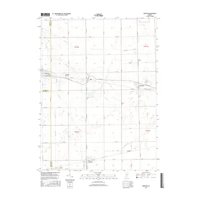
(10)- 2010 Map of Sweetser, 2010 Print
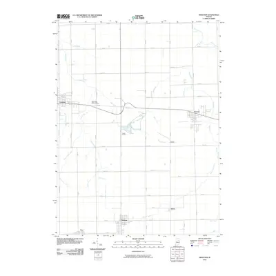 2010 Sweetser2010 Print · USGSCovers Swayzee, including Sweetser, Herbst, and other nearby areas
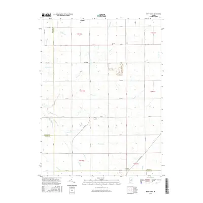
 - 2010 Map of Point Isabel, 2010 Print
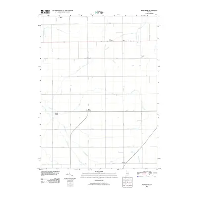 2010 Point Isabel2010 Print · USGSCovers Swayzee, including Sims, Rigdon, and other nearby areas
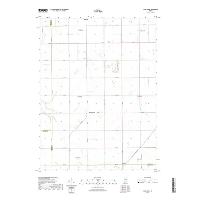
 - 2013 Map of Point Isabel, 2013 Print
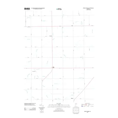 2013 Point Isabel2013 Print · USGSCovers Swayzee, including Sims, Rigdon, and other nearby areas
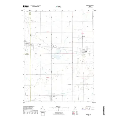
 - 2013 Map of Sweetser, 2013 Print
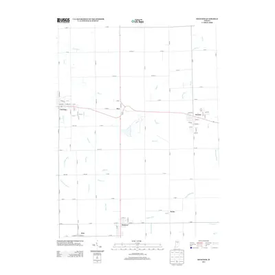 2013 Sweetser2013 Print · USGSCovers Swayzee, including Sweetser, Herbst, and other nearby areas
 - 2016 Map of Sweetser, 2016 Print
 2016 Sweetser2016 Print · USGSCovers Swayzee, including Sweetser, Herbst, and other nearby areas
 - 2016 Map of Point Isabel, 2016 Print
 2016 Point Isabel2016 Print · USGSCovers Swayzee, including Sims, Rigdon, and other nearby areas
 - 2019 Map of Point Isabel, 2019 Print
 2019 Point Isabel2019 Print · USGSCovers Swayzee, including Sims, Rigdon, and other nearby areas
 - 2019 Map of Sweetser, 2019 Print
 2019 Sweetser2019 Print · USGSCovers Swayzee, including Sweetser, Herbst, and other nearby areas
 - 2022 Map of Point Isabel, 2022 Print
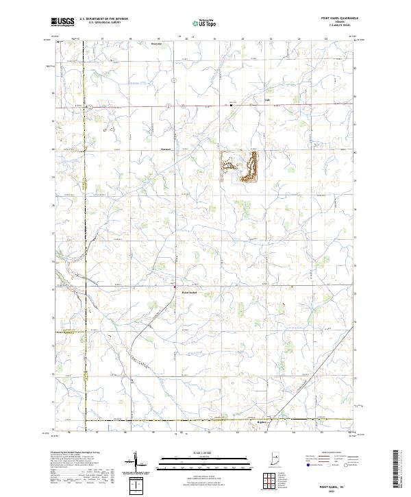 2022 Point Isabel2022 Print · USGSSettlements and farmsteads dot the Grant County landscape in the early 2020s, revealing a deeply rooted agricultural community. Researchers can trace family history through sites like Abel Cem or follow the paths of Wildcat Cr and the S Straw Town Pike.
 - 2022 Map of Sweetser, 2022 Print
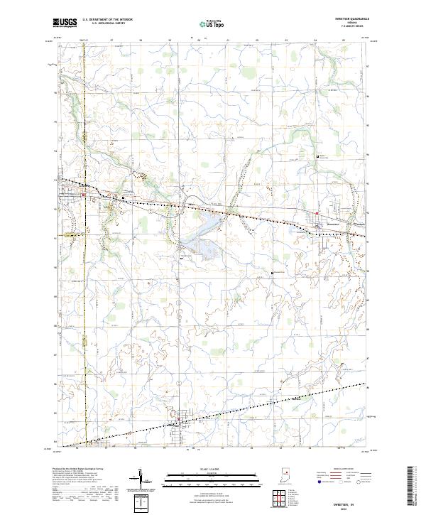 2022 Sweetser2022 Print · USGSIndiana's fertile farmland in Grant and Miami counties is revealed here in the early twenty-first century, showing a landscape defined by drainage and small-town junctions. Researchers can locate family burial plots at Thraikill Cem and Rowland Cem or trace the routes between Converse and Swayzee.
End of results
Showing maps 1-10 of 10
Top cities near Swayzee
- Marion historical maps
- Elwood historical maps
- Gas City historical maps
- Tipton historical maps
- Fairmount historical maps
- Greentown historical maps
See more
Frequently asked questions
- What are the different types of historical maps available for Swayzee?
- What is the oldest map of Swayzee?
- Where can I purchase historical maps of Swayzee for my home or office?
- Where can I download high-res historical maps of Swayzee?
- Are there historical topographic maps available for Swayzee?
- Is there historical aerial imagery available for Swayzee?
- Where are historical maps of Swayzee sourced from?