Old Maps of Swayzee, Indiana for Academic Research
Study the evolution of Swayzee with 17 high-resolution historic maps. Whether you're teaching, researching, or modeling changes in land use, these maps provide essential visual documentation of urban, environmental, and geographic change.
- Analyze long-term change: Track patterns in development, transportation, and natural features.
- Ideal for environmental or urban studies: Support academic projects with primary historical map data.
- Use in the classroom or lab: Educators and researchers rely on these maps to bring historical context to life.
These maps are a powerful tool for teaching, research, and visualizing how Swayzee has changed over the decades.
Swayzee, IN maps
(17)- 1953 Map of Muncie, 1966 Print
 1953 Muncie1966 Print · USGSIndiana and Ohio borderlands thrive in the early fifties, showing a landscape defined by manufacturing cities and an intensive railroad network. Genealogists can trace family roots across the Indiana-Ohio line through Muncie, Celina, and Portland via the Pennsylvania railroad.5 unique versions available
 - 1956 Map of Muncie
 1956 Muncie1956 Print · USGSEastern Indiana and western Ohio are shown at a peak of rail-driven industry in the mid-fifties. Genealogists and rail historians can trace the paths of the Pennsylvania RR through Muncie or locate landmarks like Lake Saint Marys (Grand Lake Reservoir) and Frances Slocum State Forest.
 - 1960 Map of Point Isabel, 1961 Print
 1960 Point Isabel1961 Print · USGSAgricultural life in central Indiana comes into focus during the early sixties, showing a landscape of small crossroads and family-named ditches. Genealogists can locate Antioch Ch, Knox Chapel, and the settlement of Point Isabel.4 unique versions available
 - 1962 Map of Sweetser, 1963 Print
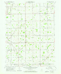
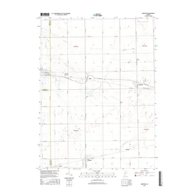
 1962 Sweetser1963 Print · USGSGrant County in the early sixties was a hub of rural industry and local rail transport. Genealogists and historians can trace family roots at Thrailkill Cemetery, explore the rail sidings of Swayzee, or locate the Richland Chapel and Oak Hill High School.
 - 1986 Map of Wabash
 1986 Wabash1986 Print · USGSThe Wabash Valley and surrounding Indiana farm country are captured here in the mid-eighties, showing a landscape reshaped by major reservoirs. Genealogists and local historians can trace the paths of the Old Indian Trail and the industrial reach of the Conrail line through towns like Lagro and Warren.2 unique versions available
 - 1986 Map of Muncie
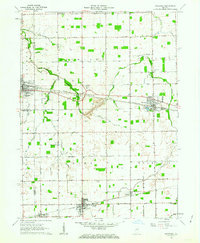
 1986 Muncie1986 Print · USGSEast Central Indiana was a hub of manufacturing and higher education in the mid-eighties. Genealogists and historians can trace the streets of Muncie, locate rural Cem sites, and explore landmarks like Mounds State Park and Taylor Univ.3 unique versions available
 - 1992 Map of Sweetser, 1995 Print
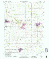 1992 Sweetser1995 Print · USGSThe rural-industrial landscape of Grant and Miami counties is captured in the early nineties. Researchers can trace the Central Railroad of Indianapolis past Swayzee and locate sites like Thrailkill Cem and Sims.
 - 2010 Map of Sweetser, 2010 Print
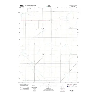
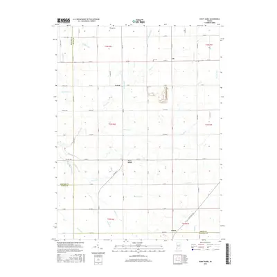
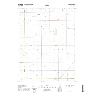
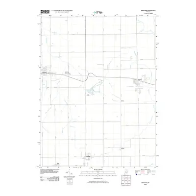 2010 Sweetser2010 Print · USGSCovers Swayzee, including Sweetser, Herbst, and other nearby areas
 - 2010 Map of Point Isabel, 2010 Print
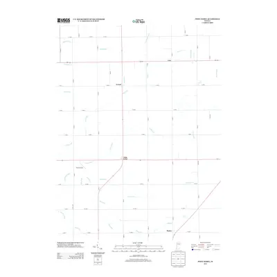
 2010 Point Isabel2010 Print · USGSCovers Swayzee, including Sims, Rigdon, and other nearby areas
 - 2013 Map of Point Isabel, 2013 Print
 2013 Point Isabel2013 Print · USGSCovers Swayzee, including Sims, Rigdon, and other nearby areas
 - 2013 Map of Sweetser, 2013 Print
 2013 Sweetser2013 Print · USGSCovers Swayzee, including Sweetser, Herbst, and other nearby areas
 - 2016 Map of Sweetser, 2016 Print
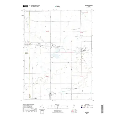
 2016 Sweetser2016 Print · USGSCovers Swayzee, including Sweetser, Herbst, and other nearby areas
 - 2016 Map of Point Isabel, 2016 Print
 2016 Point Isabel2016 Print · USGSCovers Swayzee, including Sims, Rigdon, and other nearby areas
 - 2019 Map of Point Isabel, 2019 Print
 2019 Point Isabel2019 Print · USGSCovers Swayzee, including Sims, Rigdon, and other nearby areas
 - 2019 Map of Sweetser, 2019 Print
 2019 Sweetser2019 Print · USGSCovers Swayzee, including Sweetser, Herbst, and other nearby areas
 - 2022 Map of Point Isabel, 2022 Print
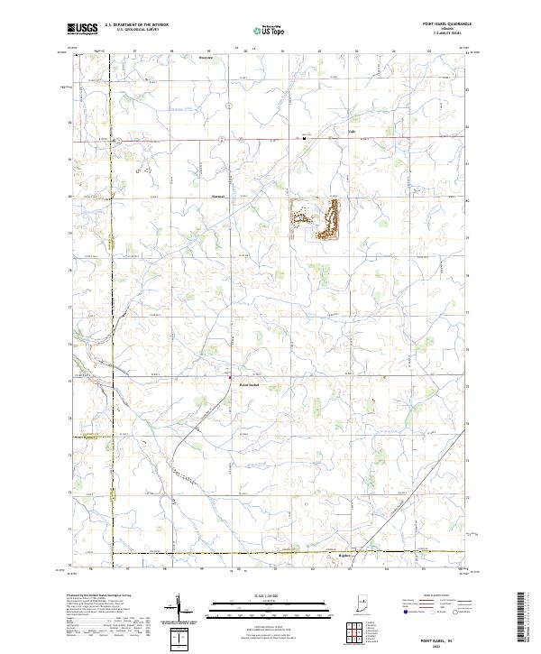 2022 Point Isabel2022 Print · USGSSettlements and farmsteads dot the Grant County landscape in the early 2020s, revealing a deeply rooted agricultural community. Researchers can trace family history through sites like Abel Cem or follow the paths of Wildcat Cr and the S Straw Town Pike.
 - 2022 Map of Sweetser, 2022 Print
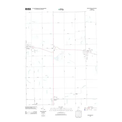
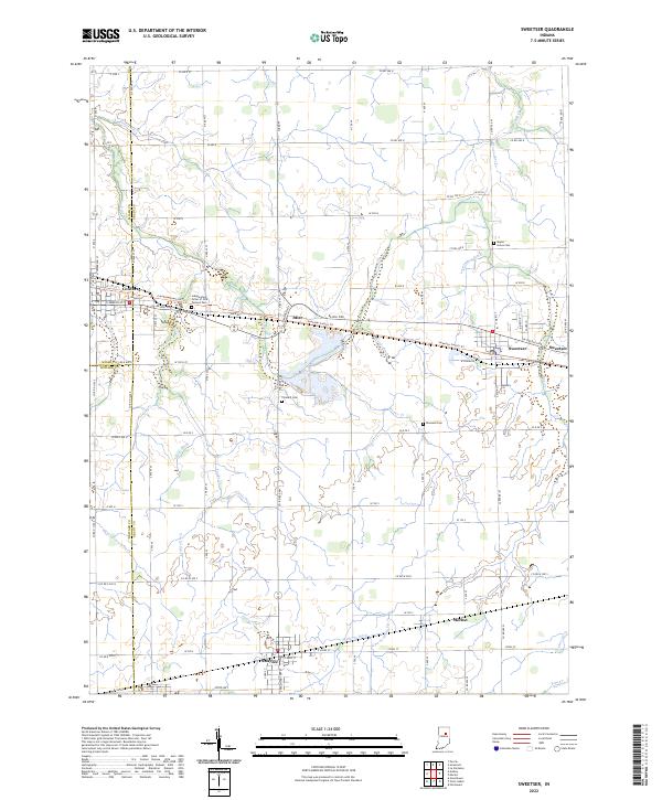 2022 Sweetser2022 Print · USGSIndiana's fertile farmland in Grant and Miami counties is revealed here in the early twenty-first century, showing a landscape defined by drainage and small-town junctions. Researchers can locate family burial plots at Thraikill Cem and Rowland Cem or trace the routes between Converse and Swayzee.
End of results
Showing maps 1-17 of 17
Top cities near Swayzee
- Marion historical maps
- Elwood historical maps
- Gas City historical maps
- Tipton historical maps
- Fairmount historical maps
- Greentown historical maps
See more
Frequently asked questions
- What are the different types of historical maps available for Swayzee?
- What is the oldest map of Swayzee?
- Where can I purchase historical maps of Swayzee for my home or office?
- Where can I download high-res historical maps of Swayzee?
- Are there historical topographic maps available for Swayzee?
- Is there historical aerial imagery available for Swayzee?
- Where are historical maps of Swayzee sourced from?