Old Maps of Doans, Indiana for Metal Detecting
Plan your next treasure hunt with 12 historic maps of Doans. Find old homesites, ghost towns, trails, and gathering spots that may be lost to time — perfect for identifying promising metal detecting locations.
- Locate forgotten sites: Uncover places like long-lost settlements, abandoned rail lines, or gathering spots.
- Plan better hunts: Use map overlays combined with LiDAR or satellite views to narrow in on historically rich areas.
- Made for detectorists: Thousands of hobbyists use these maps to discover relics, coins, and hidden history.
Use these historic maps to boost your research and find new opportunities beneath the surface of Doans.
Doans, IN maps
(12)- 1956 Map of Koleen, 1959 Print
 1956 Koleen1959 Print · USGSGreene County in the mid-fifties is characterized here by the contrast between rural ridge settlements and the massive Crane Naval Ammunition Depot. Researchers can trace family history through numerous landmarks like Clifty Chapel, Howell Cem, and the small community of Koleen.
 - 1956 Map of Vincennes, 1967 Print
 1956 Vincennes1967 Print · USGSSouthern Indiana and the Illinois borderlands are captured here in the mid-fifties, showing the region's dense network of river towns and rail lines. Researchers can trace historic river crossings along the Wabash River or locate landmarks like Wyandotte Cave and Lincoln State Park.4 unique versions available
 - 1957 Map of Vincennes
 1957 Vincennes1957 Print · USGSSouthwest Indiana and the Illinois borderlands come alive in the late 1950s, a period of heavy rail traffic and expanding state forests. Genealogists and historians can trace the riverfronts and rail lines of Vincennes, New Harmony, and the vast Crane Naval Ammunition Depot.
 - 1958 Map of Vincennes
 1958 Vincennes1958 Print · USGSSouthern Indiana and the Illinois borderlands are captured during a mid-century period of heavy rail traffic and military activity. Researchers can trace the sprawling bounds of the Crane Naval Ammunition Depot or locate historic settlements like New Harmony and French Lick.2 unique versions available
 - 1978 Map of Koleen, 1979 Print
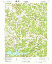 1978 Koleen1979 Print · USGSSouthern Indiana at the end of the seventies shows a mix of rural tradition and federal land use near the Martin and Greene county line. Researchers can trace historic family burial sites like Duke Cem or locate the sprawling Lake Greenwood within the Naval Weapons Support Center.2 unique versions available
 - 1986 Map of Bedford
 1986 Bedford1986 Print · USGSSouthern Indiana in the mid-eighties remains a landscape of deep forests, limestone quarries, and vital rail junctions. Genealogists and historians can trace the rural networks connecting French Lick, the Crane Naval Weapons Support Center, and the historic Becks Mill.
 - 1990 Map of Bedford, 1991 Print
 1990 Bedford1991 Print · USGSSouthern Indiana in the early nineties reveals a complex landscape of military reservations, resort towns, and heavy industry. Genealogists and historians can trace family sites like Old Union Cem and Trinity Springs or locate the limestone quarries surrounding Oolitic.
 - 2010 Map of Koleen, 2010 Print
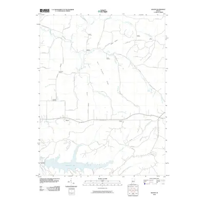 2010 Koleen2010 Print · USGSGreene County’s rural valleys and ridges come into focus here during the early twenty-first century. Family historians can trace ancestral lines through numerous burial grounds like Duke Cemetery and Taylor Ridge Cemetery, or locate old homesites near Koleen and Hard Scrabble Ridge.
 - 2013 Map of Koleen, 2013 Print
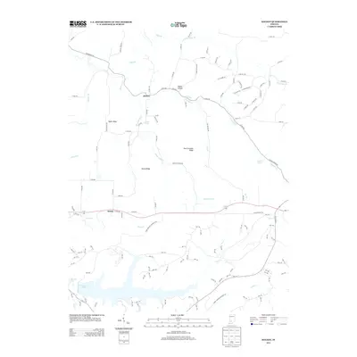 2013 Koleen2013 Print · USGSGreene County is shown here in the early twenty-first century, capturing a rural landscape of ridges and creek valleys. Genealogists and local historians can trace family land around Koleen, Doans, and landmarks like Hard Scrabble Ridge or Rock Springs.
 - 2016 Map of Koleen, 2016 Print
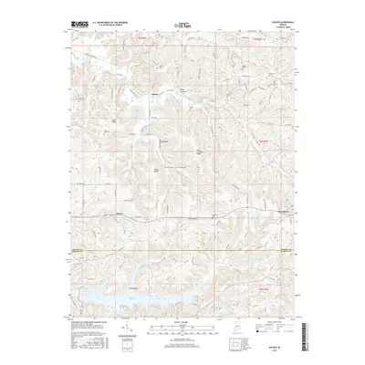 2016 Koleen2016 Print · USGSThe borderlands of Greene and Martin counties appear here in the mid-2010s, defined by a network of ridges and rural settlements. Researchers can locate many family-named landmarks and burial sites like Howell Cem, Taylor Ridge, and the community of Owensburg.
 - 2019 Map of Koleen, 2019 Print
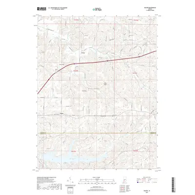 2019 Koleen2019 Print · USGSGreene and Martin Counties are shown here during the late twenty-teens, featuring the rural settlements of Koleen and Doans. Genealogists can trace several local burial sites including Taylor Ridge Cem and Wollam Cem near Plummer Creek.
 - 2022 Map of Koleen, 2022 Print
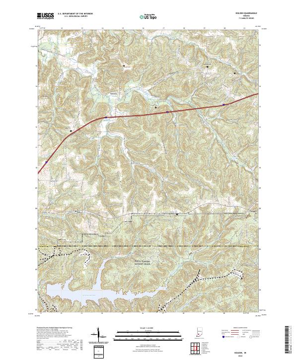 2022 Koleen2022 Print · USGSThe rural uplands of Greene County are documented here in the early 2020s, showing the ridge-and-hollow landscape of southern Indiana. Researchers can trace family history through numerous sites like Taylor Ridge Cem and Duke Cem or locate the settlements of Koleen and Doans.
End of results
Showing maps 1-12 of 12
Top cities near Doans
- Bloomfield historical maps
- Worthington historical maps
- Odon historical maps
- Lyons historical maps
- Switz City historical maps
- Newberry historical maps
See more
Frequently asked questions
- What are the different types of historical maps available for Doans?
- What is the oldest map of Doans?
- Where can I purchase historical maps of Doans for my home or office?
- Where can I download high-res historical maps of Doans?
- Are there historical topographic maps available for Doans?
- Is there historical aerial imagery available for Doans?
- Where are historical maps of Doans sourced from?