Old Maps of Worthington, Indiana for Academic Research
Study the evolution of Worthington with 20 high-resolution historic maps. Whether you're teaching, researching, or modeling changes in land use, these maps provide essential visual documentation of urban, environmental, and geographic change.
- Analyze long-term change: Track patterns in development, transportation, and natural features.
- Ideal for environmental or urban studies: Support academic projects with primary historical map data.
- Use in the classroom or lab: Educators and researchers rely on these maps to bring historical context to life.
These maps are a powerful tool for teaching, research, and visualizing how Worthington has changed over the decades.
Worthington, IN maps
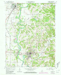
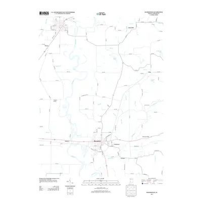
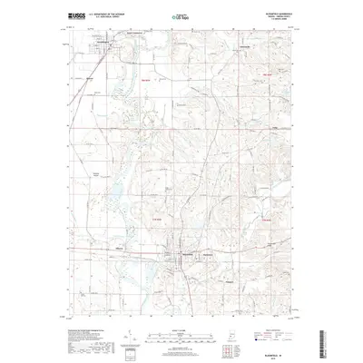
(20)- 1908 Map of Bloomfield, 1954 Print
 1908 Bloomfield1954 Print · USGSGreene County is defined by the sweeping bends of the White River and a dense network of early railroads in the late 1960s. Researchers can locate many family-named landmarks and old church sites like Stalcup Cem, Hashtown, and Tulip Ch.
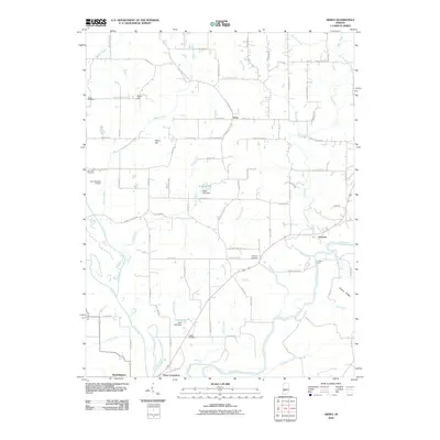
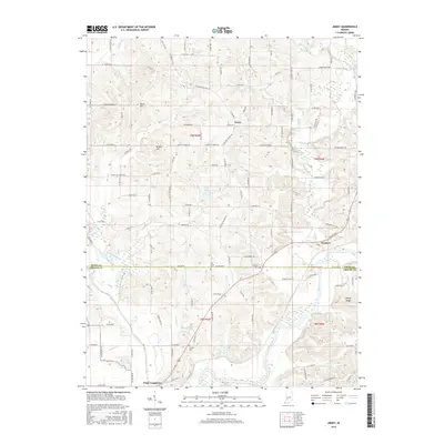
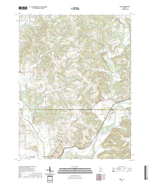
 - 1950 Map of Arney
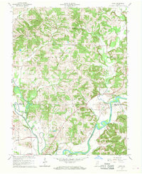
 1950 Arney1950 Print · USGSMid-century Owen County life centered on the river junctions and rural townships. Trace the paths of the New York Central railroad and find historic river landmarks like Farmers Ferry and small settlements like Point Commerce.2 unique versions available
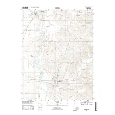
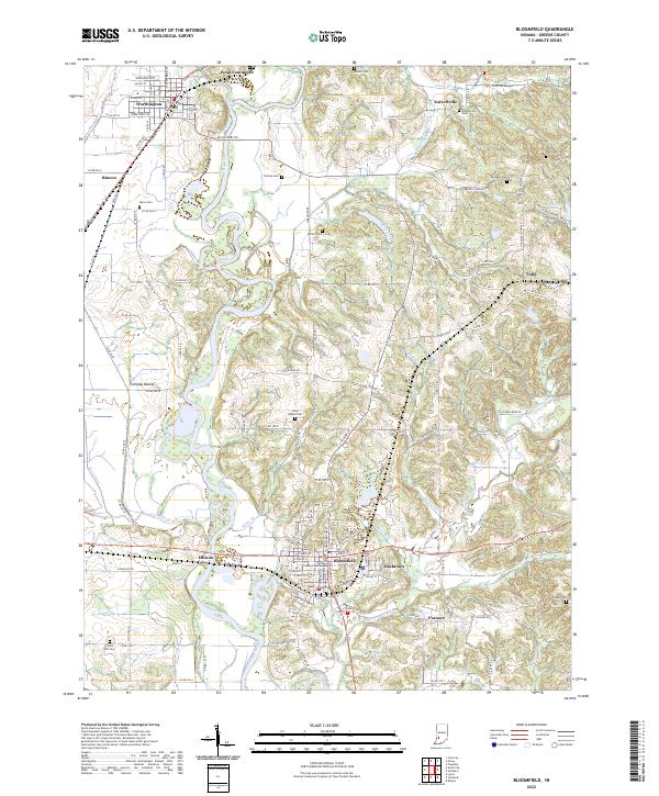
 - 1951 Map of Bloomfield
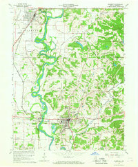
 1951 Bloomfield1951 Print · USGSGreene County is captured here in the early fifties, where the White River and Eel River converge amidst a busy network of mid-century railroads. Genealogists can trace family roots through numerous local sites like Stalcup Cem, Allen Chapel, and the community of Worthington.
 - 1953 Map of Indianapolis, 1965 Print
 1953 Indianapolis1965 Print · USGSCentral Indiana and the Illinois borderlands are captured in the mid-sixties, showing the growth of Indianapolis and its industrial rail corridors. Genealogists and historians can trace the development of outlying towns like Zionsville or Beech Grove and find landmarks such as Atterbury AAF and Turkey Run State Park.4 unique versions available
 - 1956 Map of Indianapolis
 1956 Indianapolis1956 Print · USGSCentral Indiana in the mid-fifties is captured during a period of industrial growth and military presence. Genealogists and historians can trace the rail networks of the New York Central or locate regional landmarks like Fort Benjamin Harrison and Camp Atterbury.
 - 1957 Map of Indianapolis
 1957 Indianapolis1957 Print · USGSCentral Indiana in the mid-fifties is captured here as a crossroads of major rail lines and nascent federal highways. Genealogists and historians can trace family-named ridges like Poplar Ridge or locate strategic sites like Camp Atterbury and Speedway.2 unique versions available
 - 1962 Map of Indianapolis
 1962 Indianapolis1962 Print · USGSCentral Indiana and the Illinois borderlands are captured here in the early sixties, showing the region's dense rail networks and growing urban centers. Genealogists and historians can locate family-named landmarks and institutions like Crown Hill Cem, Indiana University, and the Indianapolis Motor Speedway.
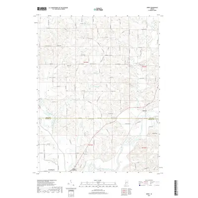
 - 1966 Map of Arney, 1968 Print
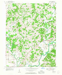
 1966 Arney1968 Print · USGSThe confluence of the White and Eel Rivers defines Owen and Greene Counties during the late sixties. Researchers can trace rural life through the Farmers Ferry, the Penn Central rail line, and family landmarks like Griffith Cem and Dutch Bethel Ch.3 unique versions available
 - 1966 Map of Bloomfield, 1981 Print
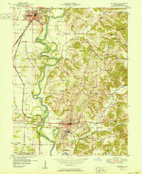
 1966 Bloomfield1981 Print · USGSGreene County's river-and-rail economy is on full display here in the late sixties, where the winding White River meets industrial and rural life. Genealogists can trace family landmarks and early settlements like Point Commerce, Hashtown, and the Stalcup Cem.2 unique versions available
 - 1986 Map of Bloomington
 1986 Bloomington1986 Print · USGSMid-century development and vast conservation areas define south-central Indiana during the eighties. Genealogists and historians can trace family roots through numerous landmarks like Beanblossom Cem, New Unionville Church, and the historic corridors of the Indiana RR.3 unique versions available
 - 2010 Map of Bloomfield, 2010 Print
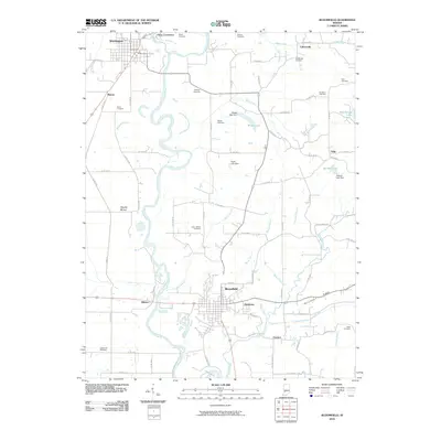 2010 Bloomfield2010 Print · USGSCovers Worthington, including Bloomfield, Tulip, and other nearby areas
 - 2010 Map of Arney, 2010 Print
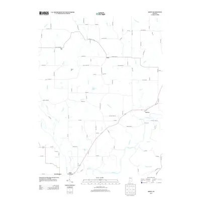
 2010 Arney2010 Print · USGSCovers Worthington, including Farmers, Point Commerce, and other nearby areas
 - 2013 Map of Arney, 2013 Print
 2013 Arney2013 Print · USGSCovers Worthington, including Farmers, Point Commerce, and other nearby areas
 - 2013 Map of Bloomfield, 2013 Print
 2013 Bloomfield2013 Print · USGSCovers Worthington, including Bloomfield, Tulip, and other nearby areas
 - 2016 Map of Arney, 2016 Print
 2016 Arney2016 Print · USGSCovers Worthington, including Farmers, Point Commerce, and other nearby areas
 - 2016 Map of Bloomfield, 2016 Print
 2016 Bloomfield2016 Print · USGSCovers Worthington, including Bloomfield, Tulip, and other nearby areas
 - 2019 Map of Arney, 2019 Print
 2019 Arney2019 Print · USGSCovers Worthington, including Farmers, Point Commerce, and other nearby areas
 - 2019 Map of Bloomfield, 2019 Print
 2019 Bloomfield2019 Print · USGSCovers Worthington, including Bloomfield, Tulip, and other nearby areas
 - 2022 Map of Arney, 2022 Print
 2022 Arney2022 Print · USGSThe confluence of the Eel and White Rivers defines this Owen and Greene County border region as it appears in the early 2020s. Local researchers can locate rural burial sites like Oak Grove Cem and trace the legacy of Point Commerce near Worthington.
 - 2022 Map of Bloomfield, 2022 Print
 2022 Bloomfield2022 Print · USGSBloomfield and the surrounding Greene County river valleys are shown in detail during the early 2020s. Genealogists and local historians can locate several family cemeteries including Stalcup Cem and Wall Cem, alongside the historic Greene County Courthouse.
End of results
Showing maps 1-20 of 20
Top cities near Worthington
- Linton historical maps
- Bloomfield historical maps
- Spencer historical maps
- Jasonville historical maps
- Clay City historical maps
- Lyons historical maps
See more
Frequently asked questions
- What are the different types of historical maps available for Worthington?
- What is the oldest map of Worthington?
- Where can I purchase historical maps of Worthington for my home or office?
- Where can I download high-res historical maps of Worthington?
- Are there historical topographic maps available for Worthington?
- Is there historical aerial imagery available for Worthington?
- Where are historical maps of Worthington sourced from?