Old Maps of Cicero, Indiana
Explore 20 old maps of Cicero, spanning from 1953 to today. These high-resolution historic maps reveal how streets, neighborhoods, landmarks, and natural features evolved over time — perfect for genealogy, metal detecting, research, and local history exploration.
What you can do with these maps:
- See how Cicero changed over time: Compare historical maps to modern-day views to trace roads, homesites, rail lines & more.
- View detailed metadata: Each map includes creators, publishers, year, scale, and archive source.
- Overlay maps with satellite & LiDAR: Visualize the past alongside modern tools to explore terrain & human change.
- Trusted historical sources: Maps sourced from the USGS, Library of Congress, and other archives.
- Access maps your way: View online, download high-res files, or order prints for personal or research use.
Start exploring old maps of Cicero to uncover forgotten places, hidden landmarks, and the deep history beneath your feet.
Cicero, IN maps
(20)- 1953 Map of Noblesville, 1955 Print
 1953 Noblesville1955 Print · USGSNoblesville and the White River valley are seen here in the mid-1950s before the heavy expansion of the Indianapolis suburbs. Researchers can trace family roots through numerous local landmarks, from the Gray Friends Ch to the Crownland Cem and Our Lady of Grace Sch.
 - 1953 Map of Danville, 1965 Print
 1953 Danville1965 Print · USGSIndiana and Illinois crossroads come to life in this mid-century survey as the interstate era begins to reshape the river-and-rail landscape. Genealogists and collectors can trace the historic paths of the Nickel Plate railroad or locate smaller communities like Veedersburg, Goodland, and Bismarck.3 unique versions available
 - 1955 Map of Danville
 1955 Danville1955 Print · USGSThe Indiana-Illinois borderlands during the mid-fifties reveal a landscape of thriving rail hubs and university towns. Researchers can trace the legacy of Purdue University, the Tippecanoe Battlefield, and the path of the Pennsylvania RR.
 - 1956 Map of Danville
 1956 Danville1956 Print · USGSMid-century Indiana and Illinois are captured here as the river-and-rail economy evolved into the modern highway era. Researchers can trace ancestral roots and old transport lines through Logansport, Battle Ground, and the dams at Lake Shafer.
 - 1960 Map of Noblesville, 1961 Print
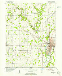
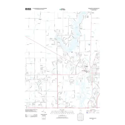
 1960 Noblesville1961 Print · USGSNoblesville and the White River valley are captured in the early sixties as new landmarks like Morse Reservoir began to reshape the landscape. Local historians can trace old community centers such as Deming or locate family plots at Riverside Cem and Crownland Cem.2 unique versions available
 - 1961 Map of Arcadia, 1963 Print
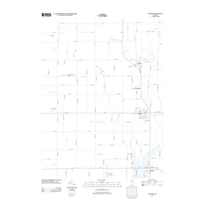
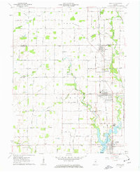 1961 Arcadia1963 Print · USGSNorth of the newly developed Morse Reservoir, the early 1960s landscape of Hamilton County centers on the busy rail towns of Arcadia and Atlanta. Genealogists and historians can trace family roots through several local landmarks like Taylor Cemetery, Roberts Chapel, and the Indiana Academy.4 unique versions available
 - 1969 Map of Noblesville, 1971 Print
 1969 Noblesville1971 Print · USGSHamilton County experienced a mix of traditional agriculture and expanding suburban life during the late sixties. Genealogists can trace family names and sites through Riverside Cem, the Gray Friends Ch, and the historic Potter Bridge near the White River.3 unique versions available
 - 1984 Map of Lafayette, 1985 Print
 1984 Lafayette1985 Print · USGSNorth-central Indiana thrives in the 1980s as a hub of higher education, industry, and agriculture centered on the Wabash River. Genealogists and historians can locate family sites near Darrough Chapel, Oak Hill Cem, or the small crossroads of Thorntown and Colfax.2 unique versions available
 - 1992 Map of Noblesville, 1995 Print
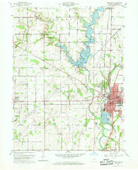
 1992 Noblesville1995 Print · USGSHamilton County experienced significant shifts in the early nineties as the area around Noblesville bridged its rural past and suburban future. Genealogists can trace family sites at Crownland Cem and Weaver Cem, or locate landmarks like Potter Bridge and the Stony Creek Sch.
 - 1998 Map of Noblesville, 2002 Print
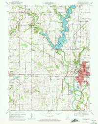
 1998 Noblesville2002 Print · USGSNoblesville and the surrounding Hamilton County countryside are shown here at the close of the twentieth century. Researchers can trace development around Morse Reservoir or locate historical sites like Potter Bridge and Gray Friends Ch.
 - 2010 Map of Arcadia, 2010 Print
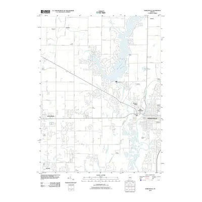
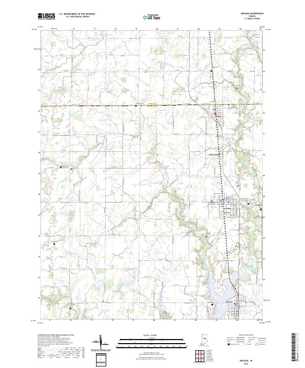
 2010 Arcadia2010 Print · USGSCovers Cicero, including Arcadia, Atlanta, and other nearby areas
 - 2010 Map of Noblesville, 2010 Print
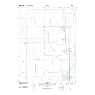
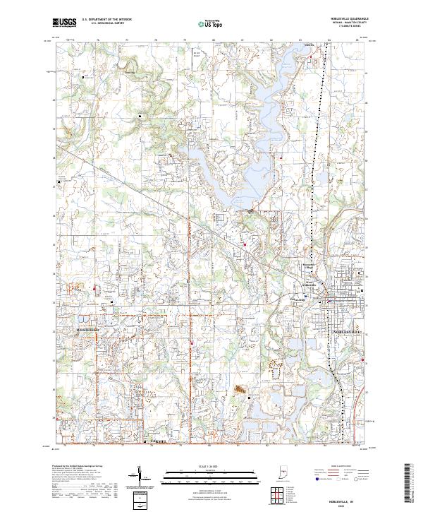
 2010 Noblesville2010 Print · USGSCovers Cicero, including Carmel, Fishers, and other nearby areas
 - 2013 Map of Arcadia, 2013 Print
 2013 Arcadia2013 Print · USGSCovers Cicero, including Arcadia, Atlanta, and other nearby areas
 - 2013 Map of Noblesville, 2013 Print
 2013 Noblesville2013 Print · USGSCovers Cicero, including Carmel, Fishers, and other nearby areas
 - 2016 Map of Arcadia, 2016 Print
 2016 Arcadia2016 Print · USGSCovers Cicero, including Arcadia, Atlanta, and other nearby areas
 - 2016 Map of Noblesville, 2016 Print
 2016 Noblesville2016 Print · USGSCovers Cicero, including Carmel, Fishers, and other nearby areas
 - 2019 Map of Arcadia, 2019 Print
 2019 Arcadia2019 Print · USGSCovers Cicero, including Arcadia, Atlanta, and other nearby areas
 - 2019 Map of Noblesville, 2019 Print
 2019 Noblesville2019 Print · USGSCovers Cicero, including Carmel, Fishers, and other nearby areas
 - 2022 Map of Arcadia, 2022 Print
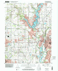
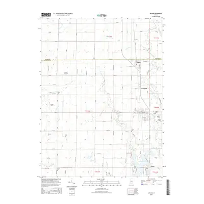
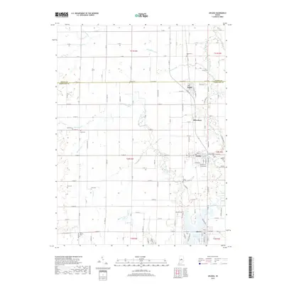
 2022 Arcadia2022 Print · USGSNorth of Indianapolis, the communities of Arcadia and Cicero maintain their traditional footprints amidst a landscape of drainage ditches and creeks. Researchers can trace family history through numerous local burial sites like Goodykoontz Cem, Roberts Cem, and Crown Hill Cem.
 - 2022 Map of Noblesville, 2022 Print
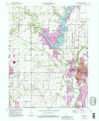
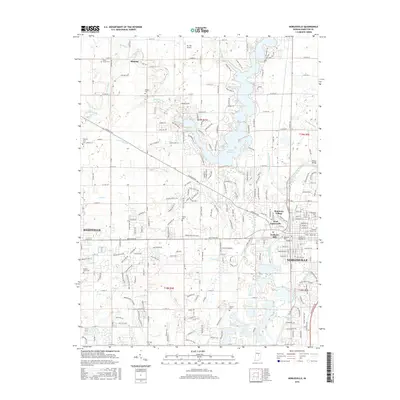
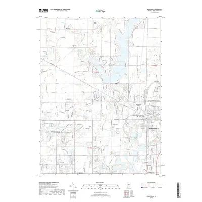
 2022 Noblesville2022 Print · USGSModern Hamilton County appears here as a landscape of rapid suburban growth woven through with deep-rooted local history. Researchers can trace ancestral sites at Crownland Cem or locate community landmarks like the Hamilton County Courthouse and Ivy Tech College.
End of results
Showing maps 1-20 of 20
Top cities near Cicero
- Indianapolis historical maps
- Carmel historical maps
- Fishers historical maps
- Noblesville historical maps
- Westfield historical maps
- Lawrence historical maps
See more
Frequently asked questions
- What are the different types of historical maps available for Cicero?
- What is the oldest map of Cicero?
- Where can I purchase historical maps of Cicero for my home or office?
- Where can I download high-res historical maps of Cicero?
- Are there historical topographic maps available for Cicero?
- Is there historical aerial imagery available for Cicero?
- Where are historical maps of Cicero sourced from?