Old Maps of Little Saint Louis, Indiana
Explore 12 old maps of Little Saint Louis, spanning from 1946 to today. These high-resolution historic maps reveal how streets, neighborhoods, landmarks, and natural features evolved over time — perfect for genealogy, metal detecting, research, and local history exploration.
What you can do with these maps:
- See how Little Saint Louis changed over time: Compare historical maps to modern-day views to trace roads, homesites, rail lines & more.
- View detailed metadata: Each map includes creators, publishers, year, scale, and archive source.
- Overlay maps with satellite & LiDAR: Visualize the past alongside modern tools to explore terrain & human change.
- Trusted historical sources: Maps sourced from the USGS, Library of Congress, and other archives.
- Access maps your way: View online, download high-res files, or order prints for personal or research use.
Start exploring old maps of Little Saint Louis to uncover forgotten places, hidden landmarks, and the deep history beneath your feet.
Little Saint Louis, IN maps
(12)- 1946 Map of Depauw
 1946 Depauw1946 Print · USGSHarrison County communities grew along the SOUTHERN railroad during the mid-1940s, balancing river-valley life with upland farming. Genealogists can trace family footprints at Smith Cem, Mt Tabor Church, and the village of Frenchtown.2 unique versions available
 - 1956 Map of Vincennes, 1967 Print
 1956 Vincennes1967 Print · USGSSouthern Indiana and the Illinois borderlands are captured here in the mid-fifties, showing the region's dense network of river towns and rail lines. Researchers can trace historic river crossings along the Wabash River or locate landmarks like Wyandotte Cave and Lincoln State Park.4 unique versions available
 - 1957 Map of Vincennes
 1957 Vincennes1957 Print · USGSSouthwest Indiana and the Illinois borderlands come alive in the late 1950s, a period of heavy rail traffic and expanding state forests. Genealogists and historians can trace the riverfronts and rail lines of Vincennes, New Harmony, and the vast Crane Naval Ammunition Depot.
 - 1958 Map of Vincennes
 1958 Vincennes1958 Print · USGSSouthern Indiana and the Illinois borderlands are captured during a mid-century period of heavy rail traffic and military activity. Researchers can trace the sprawling bounds of the Crane Naval Ammunition Depot or locate historic settlements like New Harmony and French Lick.2 unique versions available
 - 1962 Map of Depauw, 1963 Print
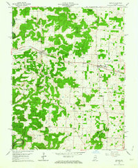 1962 Depauw1963 Print · USGSHarrison County in the early sixties maintains its character as a landscape of ridge-top farms and rail-oriented settlements. Genealogists can trace family names and rural life through landmarks like Loudens Chapel, North Central Sch, and the railway stop at Depauw.3 unique versions available
 - 1986 Map of Jasper
 1986 Jasper1986 Print · USGSSouthern Indiana in the 1980s is defined by the expansive Patoka Lake and the dense timber of the Hoosier National Forest. Researchers can trace the Southern RR through the hills or locate historic sites like Saint Meinrad and Sulphur Springs.
 - 1994 Map of Jasper
 1994 Jasper1994 Print · USGSSouthern Indiana and the Kentucky borderlands are captured here in the mid-nineties, showing a landscape defined by the Ohio River and dense state forests. Genealogists can locate family landmarks like Saint Meinrad Archabbey, Saint Anthony, and the historic Lincoln Boyhood National Memorial.
 - 2010 Map of Depauw, 2010 Print
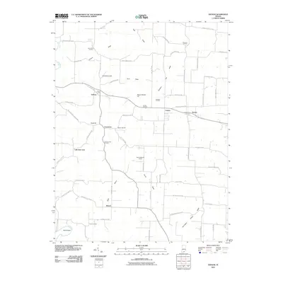 2010 Depauw2010 Print · USGSHarrison County at the turn of the decade reveals a mosaic of small communities and ridge-top settlements. Researchers can trace local lineage through Mount Zion Cemetery and Saint Bernards Cemetery or follow the winding Blue River to the Devils Elbow.
 - 2013 Map of Depauw, 2013 Print
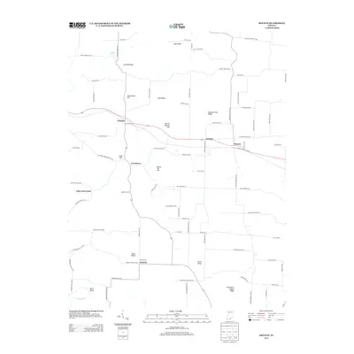 2013 Depauw2013 Print · USGSHarrison County's rolling upland ridges and historic crossroads are captured here during the early 21st century. Local historians can trace the heritage of rural hamlets like Frenchtown and Moberly or locate family landmarks such as Henry Ott Hill and Byrd Ridge.
 - 2016 Map of Depauw, 2016 Print
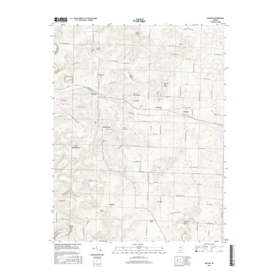 2016 Depauw2016 Print · USGSHarrison County in the mid-2010s reveals a landscape of ridge-top settlements and deep-rooted family landmarks. You can trace the proximity of local cemeteries and hamlets like Frenchtown, Little Saint Louis, and Saint Bernards Cem.
 - 2019 Map of Depauw, 2019 Print
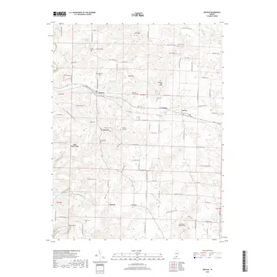 2019 Depauw2019 Print · USGSHarrison County settlement patterns and ridge-top cemeteries are visible in this contemporary survey of the Indiana countryside. Researchers can trace family names at Pittman Cem or Breedlove Cem and locate rural hubs like Depauw and Frenchtown.
 - 2022 Map of Depauw, 2022 Print
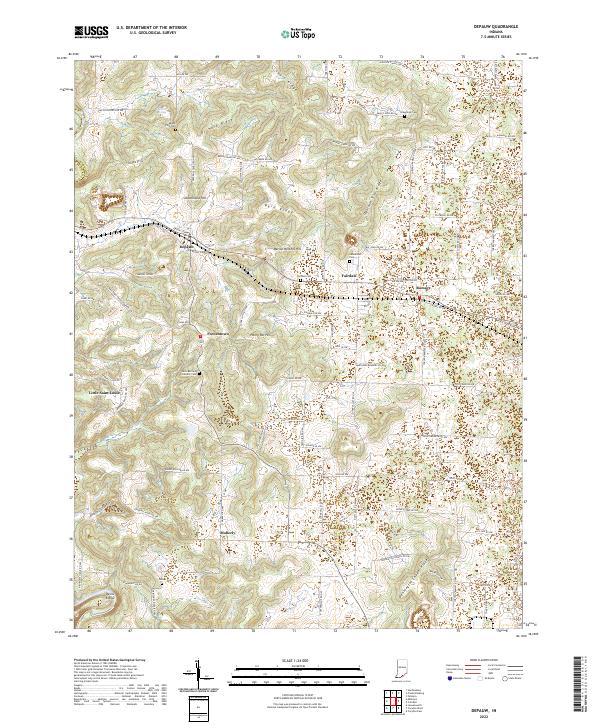 2022 Depauw2022 Print · USGSHarrison County settlement patterns and ridge-top life are documented here in the early 2020s. Genealogists and local historians can trace family locations through Saint Bernard Catholic Cem and rural centers like Little Saint Louis and Moberly.
End of results
Showing maps 1-12 of 12
Top cities near Little Saint Louis
- Corydon historical maps
- New Pekin historical maps
- Marengo historical maps
- Palmyra historical maps
- English historical maps
- Leavenworth historical maps
See more
Frequently asked questions
- What are the different types of historical maps available for Little Saint Louis?
- What is the oldest map of Little Saint Louis?
- Where can I purchase historical maps of Little Saint Louis for my home or office?
- Where can I download high-res historical maps of Little Saint Louis?
- Are there historical topographic maps available for Little Saint Louis?
- Is there historical aerial imagery available for Little Saint Louis?
- Where are historical maps of Little Saint Louis sourced from?