Old Maps of Maplewood, Indiana
Explore 12 old maps of Maplewood, spanning from 1953 to today. These high-resolution historic maps reveal how streets, neighborhoods, landmarks, and natural features evolved over time — perfect for genealogy, metal detecting, research, and local history exploration.
What you can do with these maps:
- See how Maplewood changed over time: Compare historical maps to modern-day views to trace roads, homesites, rail lines & more.
- View detailed metadata: Each map includes creators, publishers, year, scale, and archive source.
- Overlay maps with satellite & LiDAR: Visualize the past alongside modern tools to explore terrain & human change.
- Trusted historical sources: Maps sourced from the USGS, Library of Congress, and other archives.
- Access maps your way: View online, download high-res files, or order prints for personal or research use.
Start exploring old maps of Maplewood to uncover forgotten places, hidden landmarks, and the deep history beneath your feet.
Maplewood, IN maps
(12)- 1953 Map of Danville, 1955 Print
 1953 Danville1955 Print · USGSHendricks County at mid-century shows a landscape shaped by the Baltimore and Ohio Railroad and the steady growth of the county seat. Researchers can trace the layout of Danville and locate local sites like Mt Pleasant Cem and the County Home.
 - 1953 Map of Indianapolis, 1965 Print
 1953 Indianapolis1965 Print · USGSCentral Indiana and the Illinois borderlands are captured in the mid-sixties, showing the growth of Indianapolis and its industrial rail corridors. Genealogists and historians can trace the development of outlying towns like Zionsville or Beech Grove and find landmarks such as Atterbury AAF and Turkey Run State Park.4 unique versions available
 - 1956 Map of Indianapolis
 1956 Indianapolis1956 Print · USGSCentral Indiana in the mid-fifties is captured during a period of industrial growth and military presence. Genealogists and historians can trace the rail networks of the New York Central or locate regional landmarks like Fort Benjamin Harrison and Camp Atterbury.
 - 1957 Map of Indianapolis
 1957 Indianapolis1957 Print · USGSCentral Indiana in the mid-fifties is captured here as a crossroads of major rail lines and nascent federal highways. Genealogists and historians can trace family-named ridges like Poplar Ridge or locate strategic sites like Camp Atterbury and Speedway.2 unique versions available
 - 1962 Map of Indianapolis
 1962 Indianapolis1962 Print · USGSCentral Indiana and the Illinois borderlands are captured here in the early sixties, showing the region's dense rail networks and growing urban centers. Genealogists and historians can locate family-named landmarks and institutions like Crown Hill Cem, Indiana University, and the Indianapolis Motor Speedway.
 - 1970 Map of Danville, 1972 Print
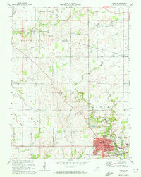 1970 Danville1972 Print · USGSThe Hendricks County seat at Danville and the surrounding township lands are captured here in the early 1970s. Genealogists and local historians can trace the paths of the Penn Central and Baltimore and Ohio railroads or locate rural landmarks like Mt Pleasant Cem and Montclair.
 - 1986 Map of Indianapolis
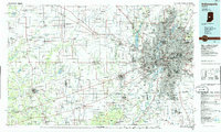 1986 Indianapolis1986 Print · USGSThe Indiana capital and its surrounding counties are captured here in the mid-1980s, showcasing the height of its orbital highway development and suburban growth. Researchers can trace the legacy of the Fort Benjamin Harrison Military Reservation, follow the Conrail lines, or locate family roots in Beech Grove, Greencastle, and Zionsville.2 unique versions available
 - 2010 Map of Danville, 2010 Print
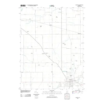 2010 Danville2010 Print · USGSDanville and the surrounding central Indiana countryside are shown here at a moment of transition between its rural roots and suburban growth. Researchers can trace dozens of family burial sites like Mount Pleasant Cemetery or Hyten Cemetery and locate small aviation fields like Temple Airport.
 - 2013 Map of Danville, 2013 Print
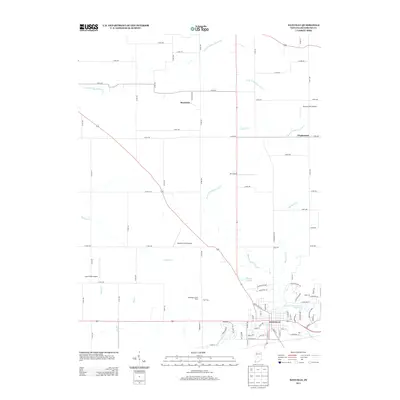 2013 Danville2013 Print · USGSDanville and the surrounding Hendricks County countryside are captured here in the early twenty-first century as the area balanced rural roots with residential growth. Researchers can locate several private landing strips like JR's Airport and trace landmarks such as Windridge Jersey Farm or the Danville Conservation Club Lake.
 - 2016 Map of Danville, 2016 Print
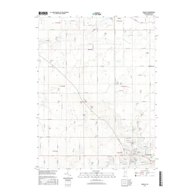 2016 Danville2016 Print · USGSCentral Indiana's Hendricks County reveals its deep-rooted rural character and organized township grids during the mid-2010s. Genealogists and local historians can trace family ties through numerous burial grounds like Leach Number 2 Cem, Hardwick Cem, and the Primitive Baptist Cem.
 - 2019 Map of Danville, 2019 Print
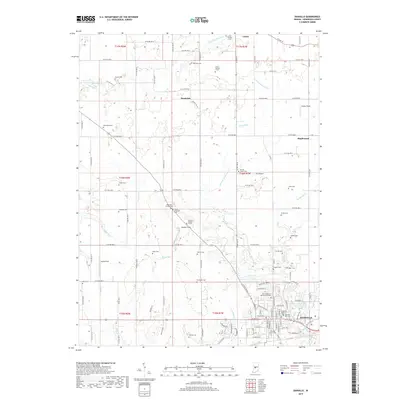 2019 Danville2019 Print · USGSHendricks County is shown here in the late 2010s, centered on the growing town of Danville and its surrounding rural townships. Family historians can trace numerous burial sites such as the Rawlings Family Cem and Ayears Cem among the headwaters of West Fork White Lick Creek.
 - 2022 Map of Danville, 2022 Print
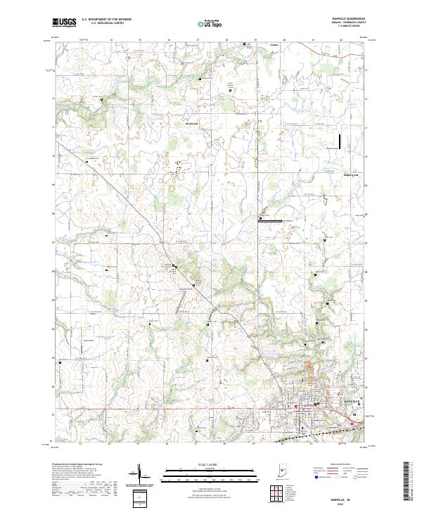 2022 Danville2022 Print · USGSDanville and the surrounding Hendricks County farmland are shown here in the early twenty-first century, revealing a landscape of rural hamlets and family legacies. Genealogists can trace dozens of small burial sites such as Rawlings Family Cem and Leach Number 1 Cem near the historic Hendricks County Courthouse.
End of results
Showing maps 1-12 of 12
Top cities near Maplewood
- Indianapolis historical maps
- Plainfield historical maps
- Brownsburg historical maps
- Lebanon historical maps
- Avon historical maps
- Zionsville historical maps
See more
Frequently asked questions
- What are the different types of historical maps available for Maplewood?
- What is the oldest map of Maplewood?
- Where can I purchase historical maps of Maplewood for my home or office?
- Where can I download high-res historical maps of Maplewood?
- Are there historical topographic maps available for Maplewood?
- Is there historical aerial imagery available for Maplewood?
- Where are historical maps of Maplewood sourced from?