Loading...
Loading map...1953 Map of Danville
USGS Topo · Published 1955About this map
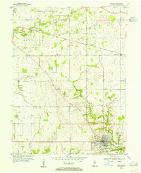
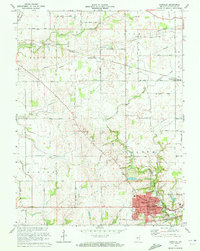
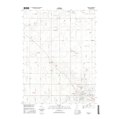
Danville serves as the focal point of this mid-century survey, revealing the town's structural layout along White Lick Creek before the expansion of modern suburban developments. The landscape is defined by the convergence of agricultural land and critical transportation infrastructure, most notably the Baltimore and Ohio Railroad which cuts across the northern half of the sheet through Montclaire and Maplewood.
Find a feature on this map
21 named features on this map. Tap any name to fly to it.
Don’t see what you’re looking for? This feature index may not catch every label — zoom into the map to look around manually.
Map Details
Date Portrayed1953
Date Published1955
PublisherU.S. Geological Survey
Map TypeTopographic
Scale1:24,000
Physical Dimensions22 x 26.9 inches
Editions of this 1953 Danville Map
This is the sole edition of this map. No revisions or reprints were ever made.
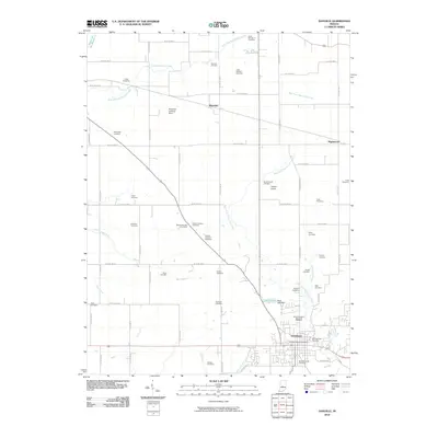
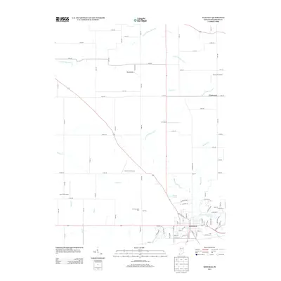
Historical Maps of Danville Through Time
7 maps found
Featured Locations
Source Details
SourceU.S. Geological Survey
CopyrightPublic Domain