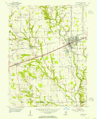
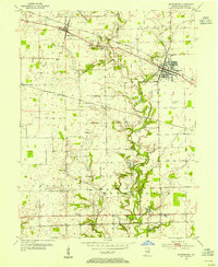
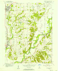
1953 Map of Plainfield
USGS Topo · Published 1955About this map
The National Road and the Pennsylvania Railroad define the mid-century development of this portion of Hendricks County, Indiana. Centered on Plainfield, the map reveals a landscape balancing small-town growth with agricultural roots, evidenced by the scattered outlying settlements of Cartersburg, Belleville, and Joppa. The presence of the Indiana Boys School southwest of Plainfield marks a significant institutional landmark of the era, while local spiritual and community life is anchored by locations such as Salem Ch and Sugar Grove Ch.
Find a feature on this map
29 named features on this map. Tap any name to fly to it.
Don’t see what you’re looking for? This feature index may not catch every label — zoom into the map to look around manually.
Map Details
Editions of this 1953 Plainfield Map
This is the sole edition of this map. No revisions or reprints were ever made.
Other maps of this area
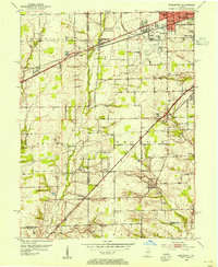
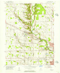
1953 · Bridgeport
USGS Topo · 1:24,000
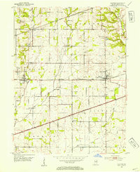
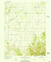
1953 · Clayton
USGS Topo · 1:24,000
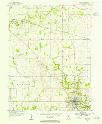
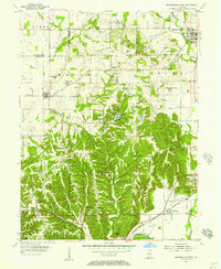
1953 · Danville
USGS Topo · 1:24,000
1953 · Brownsburg
USGS Topo · 1:24,000
1953 · Clermont
USGS Topo · 1:24,000

1953 · Indianapolis
USGS Topo · 1:250,000
1955 · Hall
USGS Topo · 1:24,000
1955 · Mooresville West
USGS Topo · 1:24,000
1955 · Mooresville East
USGS Topo · 1:24,000

1956 · Indianapolis
USGS Topo · 1:250,000