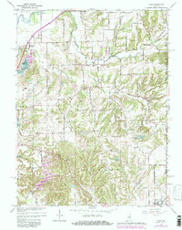
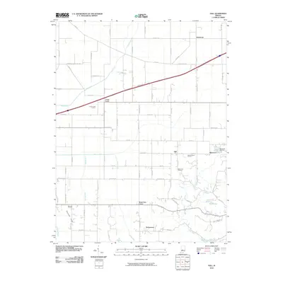
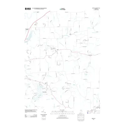
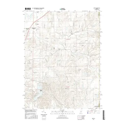
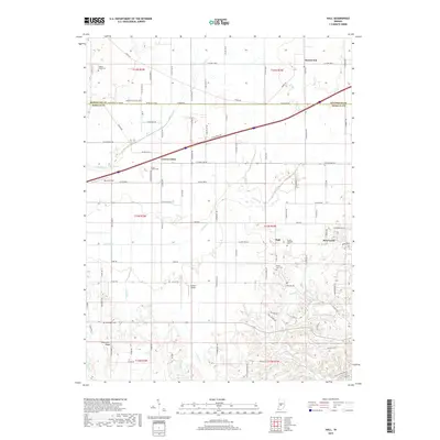
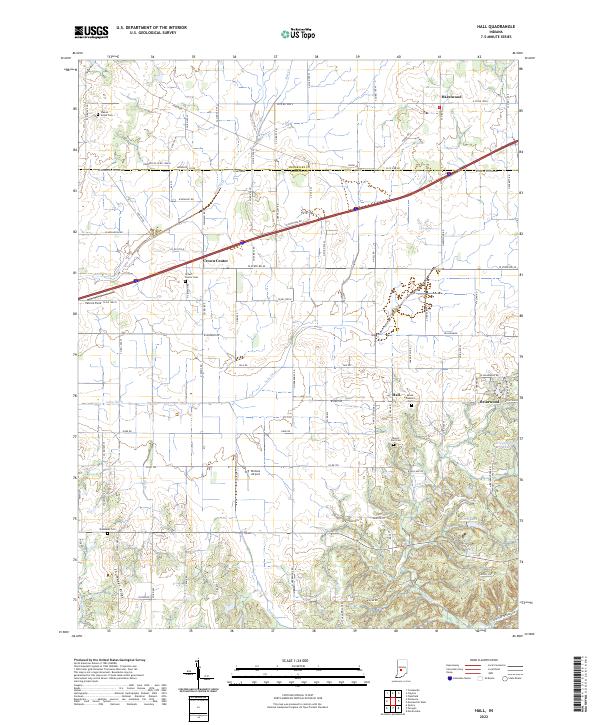
1955 Map of Hall
USGS Topo · Published 1956About this map
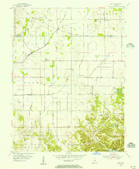
Hall serves as the central hub of this 1950s rural landscape on the border of Hendricks and Morgan counties. The map captures a mid-century agricultural community defined by its township boundaries—Adams, Monroe, and Gregg—and a network of local roads connecting small crossroad settlements like Crown Center and Mt Zion Corner. The presence of several historic burial grounds, including Mt Pleasant Cem and Shumaker Cem, offers significant detail for genealogical research in this part of central Indiana.
Find a feature on this map
28 named features on this map. Tap any name to fly to it.
Don’t see what you’re looking for? This feature index may not catch every label — zoom into the map to look around manually.
Map Details
Editions of this 1955 Hall Map
This is the sole edition of this map. No revisions or reprints were ever made.
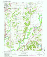
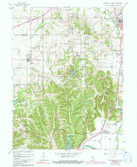
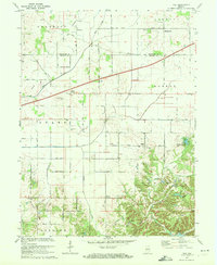
Historical Maps of Mount Zion Corner Through Time
28 maps found
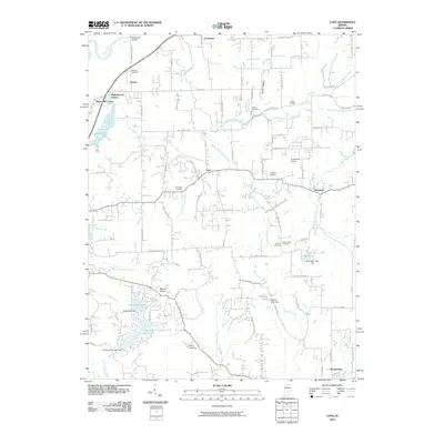
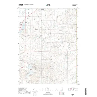
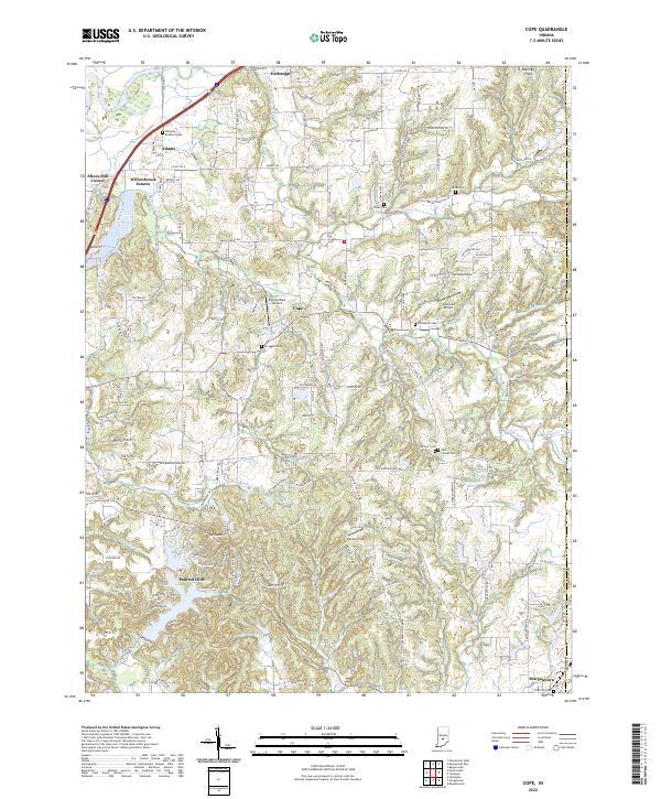
1955 Cope
Morgan County, IN
1955 Hall
Morgan County, IN
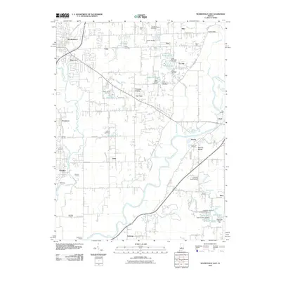
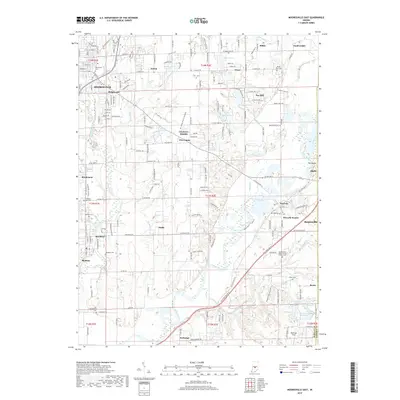
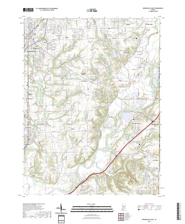
1955 Mooresville East
Morgan County, IN
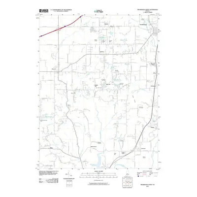
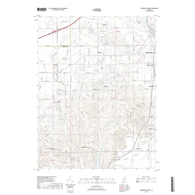
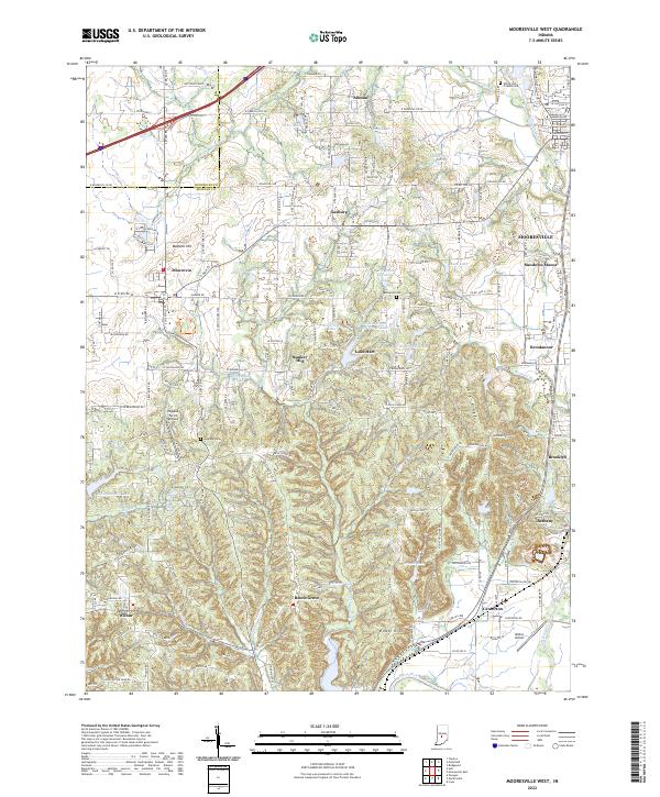
1955 Mooresville West
Morgan County, IN
1965 Cope
Morgan County, IN
1965 Mooresville East
Morgan County, IN
1965 Mooresville West
Morgan County, IN
1970 Hall
Morgan County, IN
2010 Cope
Morgan County, IN
2010 Hall
Morgan County, IN
2010 Mooresville East
Morgan County, IN
2010 Mooresville West
Morgan County, IN
2013 Cope
Morgan County, IN
2013 Hall
Morgan County, IN
2013 Mooresville East
Morgan County, IN
2013 Mooresville West
Morgan County, IN
2016 Cope
Morgan County, IN
2016 Hall
Morgan County, IN
2016 Mooresville East
Morgan County, IN
2016 Mooresville West
Morgan County, IN
2019 Cope
Morgan County, IN
2019 Hall
Morgan County, IN
2019 Mooresville East
Morgan County, IN
2019 Mooresville West
Morgan County, IN
2022 Cope
Morgan County, IN
2022 Hall
Morgan County, IN
2022 Mooresville East
Morgan County, IN
2022 Mooresville West
Morgan County, IN