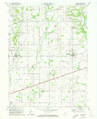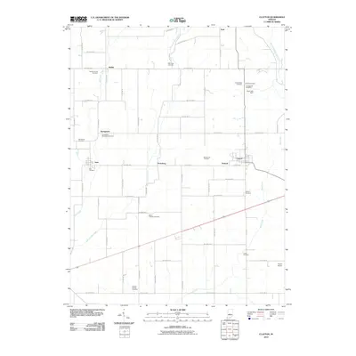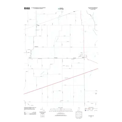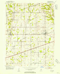
1953 Map of Clayton
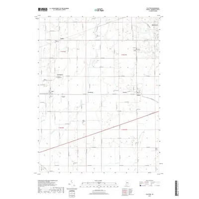
USGS Topo · Published 1954About this map
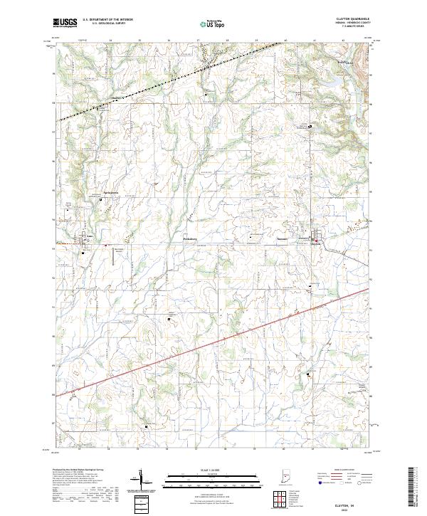
Mill Creek and its various forks carve through the agricultural landscape of Hendricks County, defining the drainage patterns for settlements like Amo and Clayton. The mid-century transportation network is a dominant feature, showing the Pennsylvania railroad line running parallel to the older National Road, while a Telephone Cable corridor cuts a straight path across the townships. This 1953 survey captures the rural character of central Indiana just as modern infrastructure began to leave more prominent marks on the land, evidenced by the Drive-in Theater situated along the main highway.
Find a feature on this map
29 named features on this map. Tap any name to fly to it.
Don’t see what you’re looking for? This feature index may not catch every label — zoom into the map to look around manually.
Map Details
Editions of this 1953 Clayton Map
This is the sole edition of this map. No revisions or reprints were ever made.
Historical Maps of Danville Through Time
7 maps found