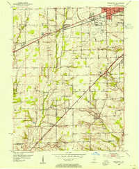
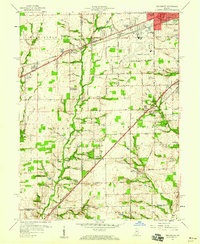
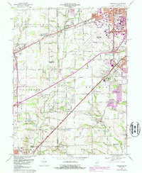
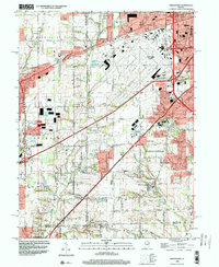
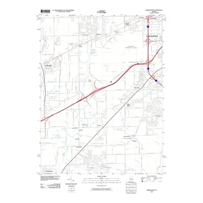
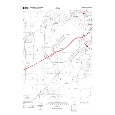
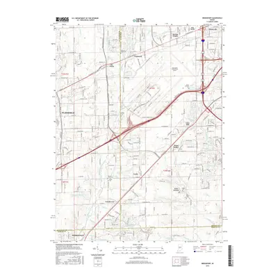
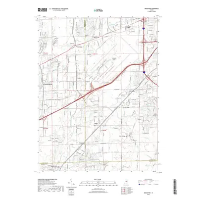
1953 Map of Bridgeport
USGS Topo · Published 1954About this map
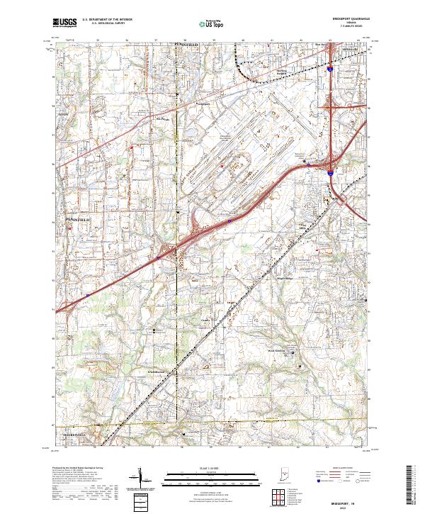
The intersection of the historic National Road and the Pennsylvania railroad defines the growing landscape of western Marion County during the early 1950s. Centered on Bridgeport, the survey illustrates a transition from rural townships like Guilford and Decatur toward suburban expansion, evidenced by neighborhoods such as Sterling Heights and Drexel Gardens. The southern reaches of the map show established agricultural communities around West Newton and Camby, where local life centered on the Fairfield Ch and the Center Cem. Significant aviation infrastructure is visible at the Indianapolis Municipal Airport, which is shown alongside the Civil Aeronautics Administration facility. The presence of the Julia Jameson Nutrition Camp and several schools, including St Joseph High Sch and Central High Sch, reflects the social and educational fabric of the era as residential development began to fill the spaces between the East Fork White Lick Creek and Lick Creek.
Find a feature on this map
50 named features on this map. Tap any name to fly to it.
Don’t see what you’re looking for? This feature index may not catch every label — zoom into the map to look around manually.
Map Details
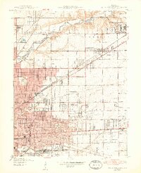
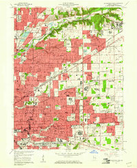
Editions of this 1953 Bridgeport Map
This is the sole edition of this map. No revisions or reprints were ever made.
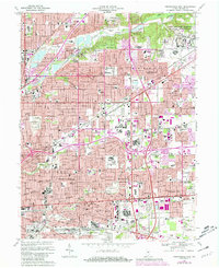
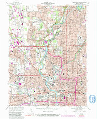
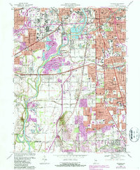
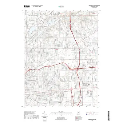
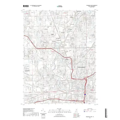
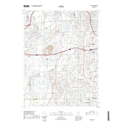
Historical Maps of Indianapolis Through Time
36 maps found
1948 Indianapolis East
Marion County, IN
1948 Indianapolis West
Marion County, IN
1948 Maywood
Marion County, IN
1953 Bridgeport
Marion County, IN
1959 Bridgeport
Marion County, IN
1959 Indianapolis East
Marion County, IN
1959 Indianapolis West
Marion County, IN
1959 Maywood
Marion County, IN
1966 Bridgeport
Marion County, IN
1967 Indianapolis East
Marion County, IN
1967 Indianapolis West
Marion County, IN
1967 Maywood
Marion County, IN
1998 Bridgeport
Marion County, IN
1998 Indianapolis East
Marion County, IN
1998 Indianapolis West
Marion County, IN
1998 Maywood
Marion County, IN
2010 Bridgeport
Marion County, IN
2010 Indianapolis East
Marion County, IN
2010 Indianapolis West
Marion County, IN
2011 Maywood
Marion County, IN
2013 Bridgeport
Marion County, IN
2013 Indianapolis East
Marion County, IN
2013 Indianapolis West
Marion County, IN
2013 Maywood
Marion County, IN
2016 Bridgeport
Marion County, IN
2016 Indianapolis East
Marion County, IN
2016 Indianapolis West
Marion County, IN
2016 Maywood
Marion County, IN
2019 Bridgeport
Marion County, IN
2019 Indianapolis East
Marion County, IN
2019 Indianapolis West
Marion County, IN
2019 Maywood
Marion County, IN
2022 Bridgeport
Marion County, IN
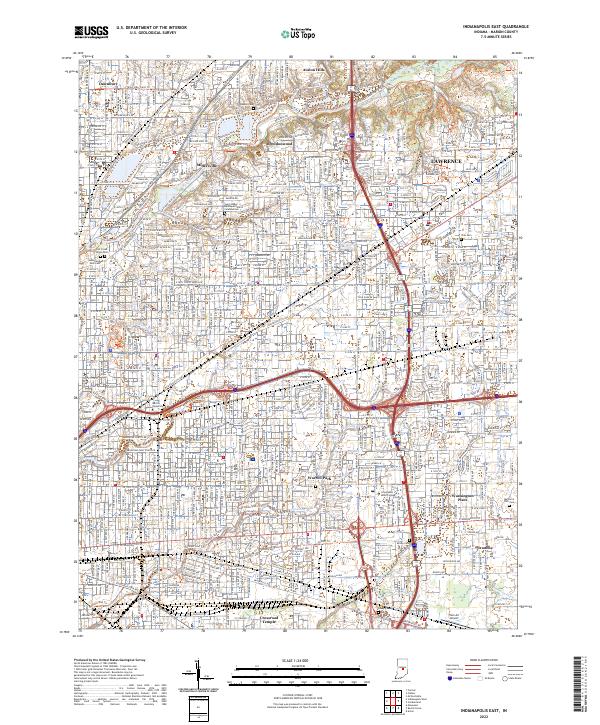
2022 Indianapolis East
Marion County, IN
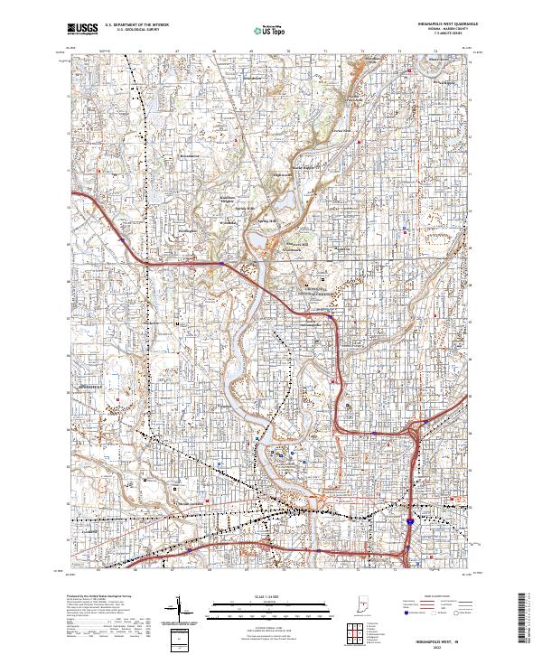
2022 Indianapolis West
Marion County, IN
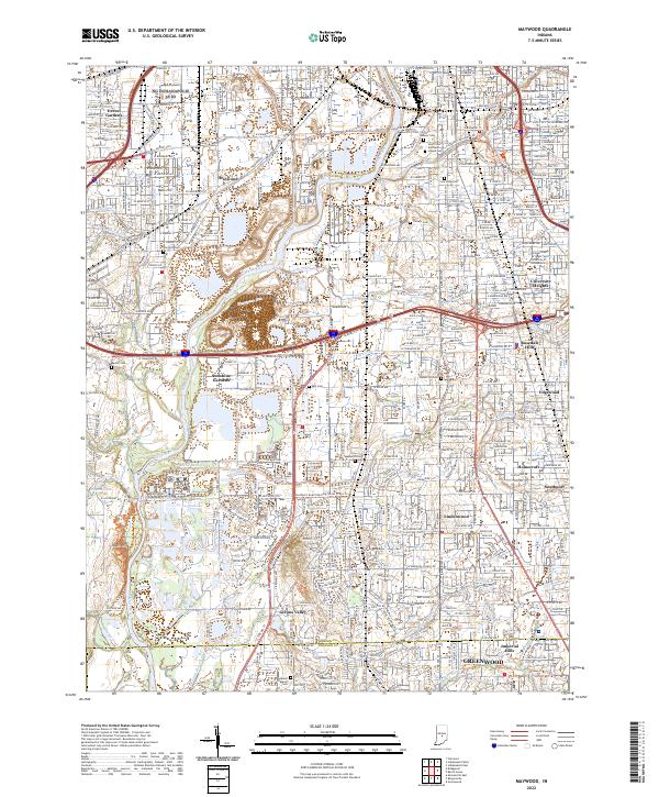
2022 Maywood
Marion County, IN