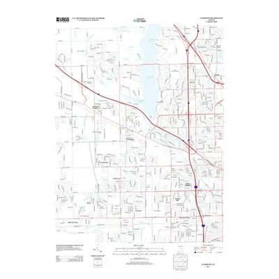
1953 Map of Clermont
USGS Topo · Published 1956About this map
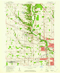
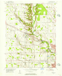
Clermont sits at the heart of this 1953 survey, a crossroads town defined by the converging lines of the New York Central and Pennsylvania railroads. The landscape transitions from the suburban edges of Speedway and the Mickleyville area toward the rural border of Hendricks and Marion Counties. To the north, Eagle Creek carves a deep valley through the terrain, flanked by the wooded heights of Eagle Crest Forest and Mt Pleasant. This era shows the local infrastructure of a growing community, including the Indiana Girls School and scattered rural anchors like Salem Church and Bullard Cemetery. Notable industrial footprints are evident at the Tank Farm near Clermont and the Sewage Disposal works along the creek, while residential developments like Westwood begin to dot the grid of numbered west-side streets.
Find a feature on this map
53 named features on this map. Tap any name to fly to it.
Don’t see what you’re looking for? This feature index may not catch every label — zoom into the map to look around manually.
Map Details
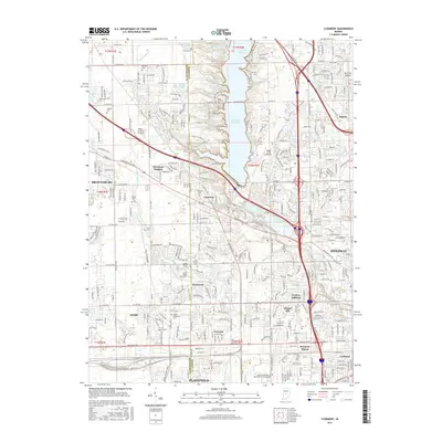
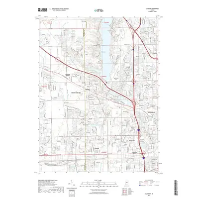
Editions of this 1953 Clermont Map
This is the sole edition of this map. No revisions or reprints were ever made.
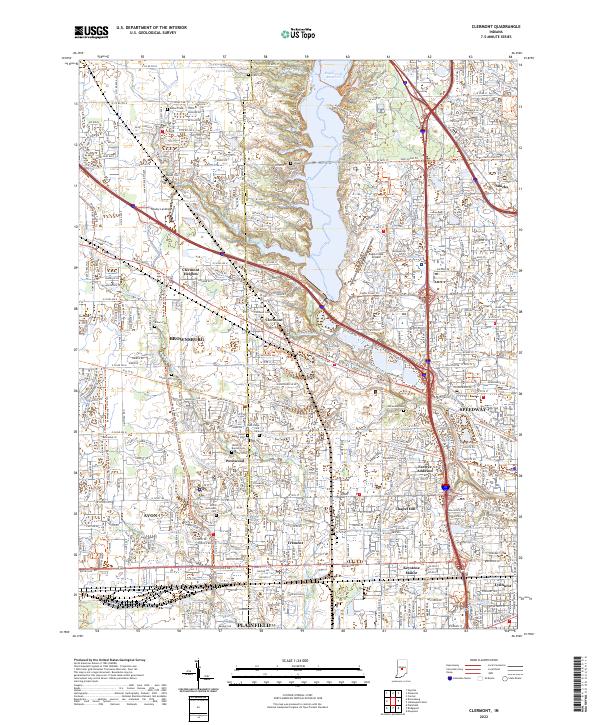
Historical Maps of Indianapolis Through Time
9 maps found