
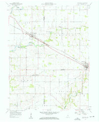
1957 Map of New Ross
USGS Topo · Published 1959About this map
The New York Central railroad corridor serves as the primary industrial axis for this central Indiana landscape, connecting the agricultural hubs of New Ross and Jamestown. This mid-century survey captures the rural character of the borderlands between Montgomery, Boone, and Hendricks counties, where the land is partitioned into the townships of Walnut, Jackson, Clark, and Eel River. The terrain is defined by the winding paths of Big Raccoon Creek and Walnut Fork, which cut through a predominantly level landscape dotted with family and community landmarks. Genealogists and local historians can locate several burial grounds, including Porter Cem and Wesley Cem, alongside social centers like the Advance Conservation Club. The presence of large grain Storage Bins at New Ross underscores the region's mid-century reliance on rail-based transport for its agricultural output, even as modern infrastructure like a buried Pipeline begins to traverse the open fields.
Find a feature on this map
27 named features on this map. Tap any name to fly to it.
Don’t see what you’re looking for? This feature index may not catch every label — zoom into the map to look around manually.
Map Details
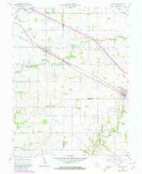
Editions of this 1957 New Ross Map
Other maps of this area

1953 · Lizton
USGS Topo · 1:24,000

1953 · Danville
USGS Topo · 1:24,000

1953 · Danville
USGS Topo · 1:250,000

1953 · Indianapolis
USGS Topo · 1:250,000

1955 · Danville
USGS Topo · 1:250,000

1956 · Danville
USGS Topo · 1:250,000

1956 · Indianapolis
USGS Topo · 1:250,000

1957 · Indianapolis
USGS Topo · 1:250,000

1958 · Darlington
USGS Topo · 1:24,000

1958 · Roachdale
USGS Topo · 1:24,000