Old Maps of Plainfield, Indiana for Hiking & Exploration
Hike through history with 31 historic maps of Plainfield. Explore old trails, ghost towns, and forgotten backroads — perfect for outdoor adventurers and local explorers.
- Rediscover forgotten places: Map out old mining camps, roads, and footpaths that no longer exist on modern maps.
- Layer with modern tools: Combine with LiDAR or satellite views to plan hikes through historical terrain.
- Made for exploration: Popular among hikers, overlanders, and local history lovers.
Use these maps to find adventure and explore the hidden past of Plainfield.
Plainfield, IN maps
(31)- 1953 Map of Bridgeport, 1954 Print
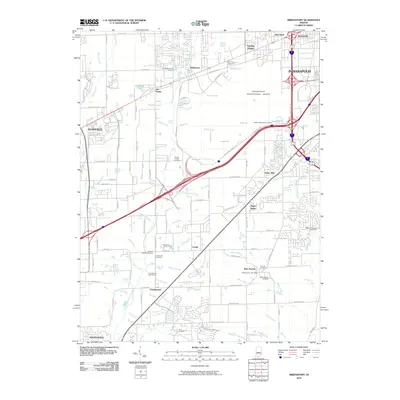
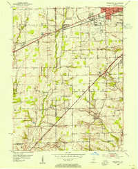 1953 Bridgeport1954 Print · USGSWestern Marion County in the early fifties is captured here at the cusp of suburban expansion along the historic National Road. Genealogists and researchers can trace family landmarks and early schools like St Joseph High Sch, Center Cem, and the community of West Newton.
 - 1953 Map of Plainfield, 1955 Print
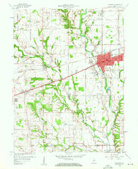
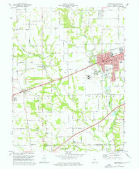
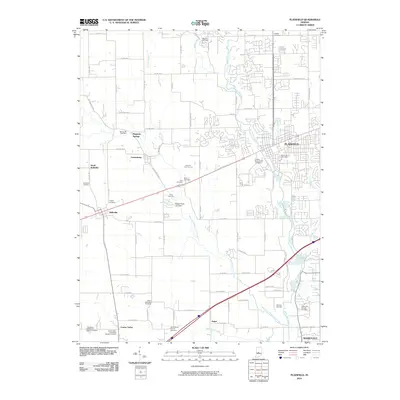
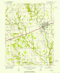 1953 Plainfield1955 Print · USGSMid-century Hendricks County is captured here as the post-war era transformed the landscape around the National Road. Genealogists and local historians can trace the foundations of Plainfield or find rural landmarks like Sugar Grove Ch and the Indiana Boys School.
 - 1953 Map of Clermont, 1956 Print
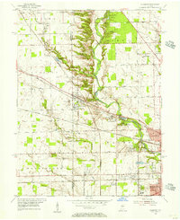 1953 Clermont1956 Print · USGSMid-century Marion County comes into focus as the suburban reach of Speedway meets the rail town of Clermont. Genealogists and local researchers can trace old family sites and institutions like Shiloh Church, Wood Haven Cemetery, and the Indiana Girls School.
 - 1953 Map of Indianapolis, 1965 Print
 1953 Indianapolis1965 Print · USGSCentral Indiana and the Illinois borderlands are captured in the mid-sixties, showing the growth of Indianapolis and its industrial rail corridors. Genealogists and historians can trace the development of outlying towns like Zionsville or Beech Grove and find landmarks such as Atterbury AAF and Turkey Run State Park.4 unique versions available
 - 1956 Map of Indianapolis
 1956 Indianapolis1956 Print · USGSCentral Indiana in the mid-fifties is captured during a period of industrial growth and military presence. Genealogists and historians can trace the rail networks of the New York Central or locate regional landmarks like Fort Benjamin Harrison and Camp Atterbury.
 - 1957 Map of Indianapolis
 1957 Indianapolis1957 Print · USGSCentral Indiana in the mid-fifties is captured here as a crossroads of major rail lines and nascent federal highways. Genealogists and historians can trace family-named ridges like Poplar Ridge or locate strategic sites like Camp Atterbury and Speedway.2 unique versions available
 - 1959 Map of Bridgeport, 1960 Print
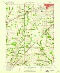 1959 Bridgeport1960 Print · USGSSouthwestern Marion County underwent significant suburban growth in the late fifties as Indianapolis expanded toward its southwestern townships. Researchers can trace the development of Valley Mills and West Newton or locate landmarks like Jameson Camp and the Old Ben Davis High Sch.
 - 1959 Map of Plainfield, 1960 Print
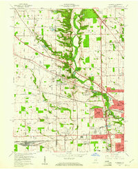
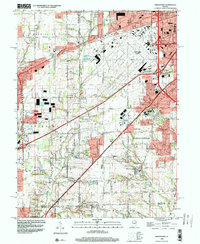
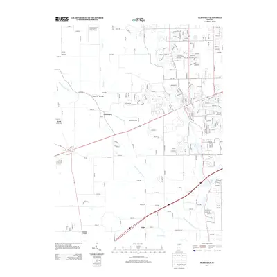
 1959 Plainfield1960 Print · USGSMid-century Hendricks County is defined here by the meeting of the Pennsylvania Railroad and the historic National Road. Researchers can trace old family sites and rural landmarks like the State Boys School, Salem Ch, and several small family plots such as Gossett Cem.2 unique versions available
 - 1959 Map of Clermont, 1961 Print
 1959 Clermont1961 Print · USGSMarion County suburbs expand toward the countryside in the late fifties as residential tracks meet rural townships. Genealogists and historians can trace the development of Clermont, find the Bullard Cem, or locate the historic Indiana Girls Sch.
 - 1962 Map of Indianapolis
 1962 Indianapolis1962 Print · USGSCentral Indiana and the Illinois borderlands are captured here in the early sixties, showing the region's dense rail networks and growing urban centers. Genealogists and historians can locate family-named landmarks and institutions like Crown Hill Cem, Indiana University, and the Indianapolis Motor Speedway.
 - 1966 Map of Bridgeport, 1969 Print
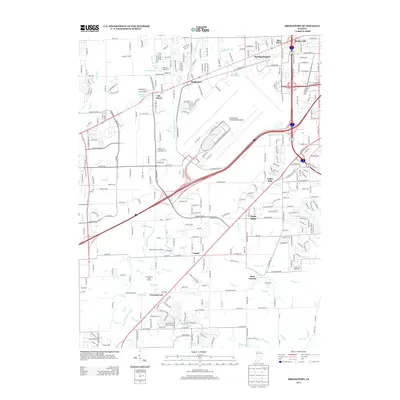
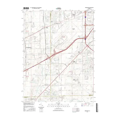
 1966 Bridgeport1969 Print · USGSMarion and Hendricks counties are captured here during a period of suburban transition in the mid-1960s. Researchers can trace the layout of Weir Cook Municipal Airport and find local history at Friends Cem and West Newton.4 unique versions available
 - 1967 Map of Clermont, 1969 Print
 1967 Clermont1969 Print · USGSThe western outskirts of Indianapolis are shown in the late sixties as suburban expansion meets established rural landmarks. Trace the development of the Eagle Creek Reservoir and find local history at Jodes Chapel Cem, the Indiana Girls School, and Snacks.3 unique versions available
 - 1970 Map of Plainfield, 1972 Print
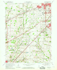
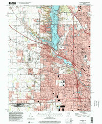
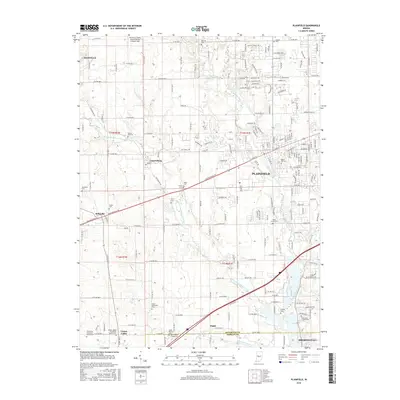
 1970 Plainfield1972 Print · USGSPlainfield and the surrounding townships were rapidly evolving in the early seventies as the National Road and rail lines spurred new development. Genealogists and historians can trace family locations near Salem Ch, Spring Hill Cem, or the institutional grounds of the Indiana Boys School.3 unique versions available
 - 1986 Map of Indianapolis
 1986 Indianapolis1986 Print · USGSThe Indiana capital and its surrounding counties are captured here in the mid-1980s, showcasing the height of its orbital highway development and suburban growth. Researchers can trace the legacy of the Fort Benjamin Harrison Military Reservation, follow the Conrail lines, or locate family roots in Beech Grove, Greencastle, and Zionsville.2 unique versions available
 - 1998 Map of Bridgeport, 2000 Print
 1998 Bridgeport2000 Print · USGSThe outskirts of Indianapolis and Mooresville are shown here during the late nineties as suburban growth reached the Hendricks County line. Researchers can trace historic local sites like Seerley Cem and Friends Cem or the older street grids of West Newton and Mickleyville.
 - 1998 Map of Clermont, 2002 Print
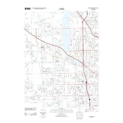
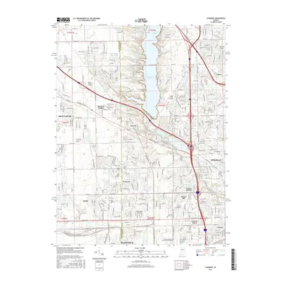
 1998 Clermont2002 Print · USGSMarion County at the close of the century shows a landscape defined by the intersection of suburban growth and major infrastructure. Trace the development of Clermont, Speedway, and the Big Four Yard rail complex alongside Eagle Creek Reservoir.
 - 2010 Map of Clermont, 2010 Print
 2010 Clermont2010 Print · USGSCovers Plainfield, including Indianapolis, Brownsburg, and other nearby areas
 - 2010 Map of Plainfield, 2010 Print
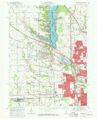
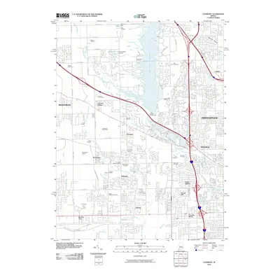
 2010 Plainfield2010 Print · USGSCovers Plainfield, including Avon, Mooresville, and other nearby areas
 - 2010 Map of Bridgeport, 2010 Print
 2010 Bridgeport2010 Print · USGSCovers Plainfield, including Indianapolis, Avon, and other nearby areas
 - 2013 Map of Bridgeport, 2013 Print
 2013 Bridgeport2013 Print · USGSCovers Plainfield, including Indianapolis, Avon, and other nearby areas
 - 2013 Map of Clermont, 2013 Print
 2013 Clermont2013 Print · USGSCovers Plainfield, including Indianapolis, Brownsburg, and other nearby areas
 - 2013 Map of Plainfield, 2013 Print
 2013 Plainfield2013 Print · USGSCovers Plainfield, including Avon, Mooresville, and other nearby areas
 - 2016 Map of Plainfield, 2016 Print
 2016 Plainfield2016 Print · USGSCovers Plainfield, including Avon, Mooresville, and other nearby areas
 - 2016 Map of Clermont, 2016 Print
 2016 Clermont2016 Print · USGSCovers Plainfield, including Indianapolis, Brownsburg, and other nearby areas
 - 2016 Map of Bridgeport, 2016 Print
 2016 Bridgeport2016 Print · USGSCovers Plainfield, including Indianapolis, Avon, and other nearby areas
Showing maps 1-25 of 31
Top cities near Plainfield
- Indianapolis historical maps
- Carmel historical maps
- Greenwood historical maps
- Brownsburg historical maps
- Avon historical maps
- Speedway historical maps
See more
Top neighborhoods of Plainfield
Frequently asked questions
- What are the different types of historical maps available for Plainfield?
- What is the oldest map of Plainfield?
- Where can I purchase historical maps of Plainfield for my home or office?
- Where can I download high-res historical maps of Plainfield?
- Are there historical topographic maps available for Plainfield?
- Is there historical aerial imagery available for Plainfield?
- Where are historical maps of Plainfield sourced from?