Old Maps of Foley, Indiana for Metal Detecting
Plan your next treasure hunt with 10 historic maps of Foley. Find old homesites, ghost towns, trails, and gathering spots that may be lost to time — perfect for identifying promising metal detecting locations.
- Locate forgotten sites: Uncover places like long-lost settlements, abandoned rail lines, or gathering spots.
- Plan better hunts: Use map overlays combined with LiDAR or satellite views to narrow in on historically rich areas.
- Made for detectorists: Thousands of hobbyists use these maps to discover relics, coins, and hidden history.
Use these historic maps to boost your research and find new opportunities beneath the surface of Foley.
Foley, IN maps
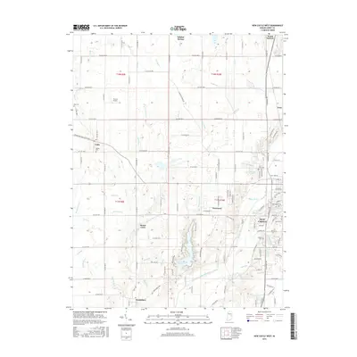
(10)- 1949 Map of New Castle West
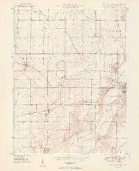 1949 New Castle West1949 Print · USGSWestern Henry County is captured here in the late 1940s, showing a landscape of productive farms and burgeoning rail-side villages. Genealogists can locate several rural burial sites and churches including Quaker Cem, Sugar Grove Ch, and the South Mound Cemetery.2 unique versions available
 - 1953 Map of Cincinnati, 1965 Print
 1953 Cincinnati1965 Print · USGSThe Ohio River valley and the industrial heartland of Indiana and Ohio are captured here during the mid-century peak of rail and river commerce. Genealogists and historians can trace connections between Cincinnati and outlying military sites like Camp Atterbury and Bakalar AFB.3 unique versions available
 - 1957 Map of Cincinnati
 1957 Cincinnati1957 Print · USGSThe Ohio River valley and its surrounding highlands thrived during the mid-fifties industrial peak, centered on the bustling Cincinnati and Dayton metropolitan hubs. Researchers can trace the extensive rail networks and military sites like Wright-Patterson AFB and Camp Atterbury.
 - 1960 Map of New Castle West, 1961 Print
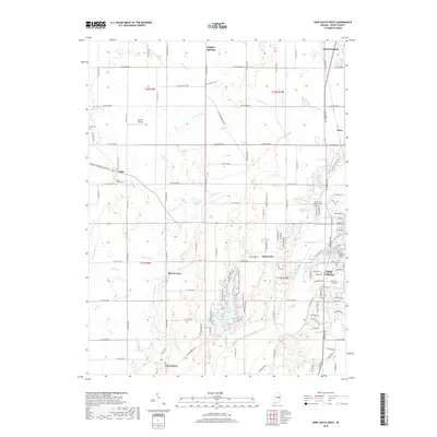
 1960 New Castle West1961 Print · USGSHenry County is captured here at a mid-century peak of rail and road connectivity, centered on the growing city of New Castle. Genealogists and local historians can trace family plots at South Mound Cemetery or locate old landmarks like Sugar Grove Sch and the Drive-In Theater.3 unique versions available
 - 1986 Map of New Castle
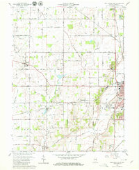
 1986 New Castle1986 Print · USGSEast Central Indiana remains a patchwork of thriving county seats and rail-side hamlets in the mid-eighties. Genealogists and historians can locate family landmarks such as East Hill Cemetery, Little Blue River Church, and the transit lines of the CONRAIL railroad.2 unique versions available
 - 2010 Map of New Castle West, 2010 Print
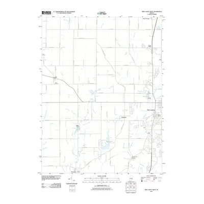 2010 New Castle West2010 Print · USGSCovers Foley, including New Castle, Mount Summit, and other nearby areas
 - 2013 Map of New Castle West, 2013 Print
 2013 New Castle West2013 Print · USGSCovers Foley, including New Castle, Mount Summit, and other nearby areas
 - 2016 Map of New Castle West, 2016 Print
 2016 New Castle West2016 Print · USGSCovers Foley, including New Castle, Mount Summit, and other nearby areas
 - 2019 Map of New Castle West, 2019 Print
 2019 New Castle West2019 Print · USGSCovers Foley, including New Castle, Mount Summit, and other nearby areas
 - 2022 Map of New Castle West, 2022 Print
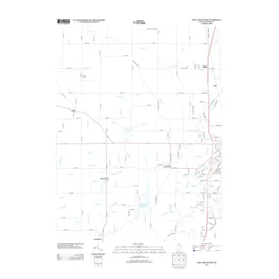
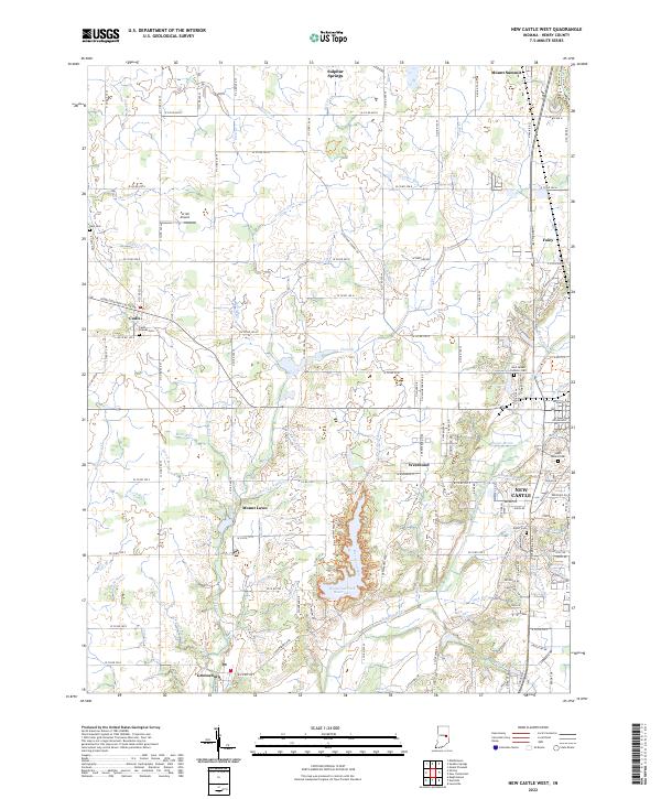 2022 New Castle West2022 Print · USGSHenry County is depicted here in the early twenty-first century, showcasing the landscape between the growing city and its rural satellite villages. Genealogists and local historians can locate several burial grounds including Hess Cem, Cadiz Friends Cem, and Elliott Cem.
End of results
Showing maps 1-10 of 10
Top cities near Foley
- Muncie historical maps
- Anderson historical maps
- New Castle historical maps
- Yorktown historical maps
- Chesterfield historical maps
- Middletown historical maps
See more
Frequently asked questions
- What are the different types of historical maps available for Foley?
- What is the oldest map of Foley?
- Where can I purchase historical maps of Foley for my home or office?
- Where can I download high-res historical maps of Foley?
- Are there historical topographic maps available for Foley?
- Is there historical aerial imagery available for Foley?
- Where are historical maps of Foley sourced from?