Old Maps of Brownstown, Indiana
Explore 17 old maps of Brownstown, spanning from 1956 to today. These high-resolution historic maps reveal how streets, neighborhoods, landmarks, and natural features evolved over time — perfect for genealogy, metal detecting, research, and local history exploration.
What you can do with these maps:
- See how Brownstown changed over time: Compare historical maps to modern-day views to trace roads, homesites, rail lines & more.
- View detailed metadata: Each map includes creators, publishers, year, scale, and archive source.
- Overlay maps with satellite & LiDAR: Visualize the past alongside modern tools to explore terrain & human change.
- Trusted historical sources: Maps sourced from the USGS, Library of Congress, and other archives.
- Access maps your way: View online, download high-res files, or order prints for personal or research use.
Start exploring old maps of Brownstown to uncover forgotten places, hidden landmarks, and the deep history beneath your feet.
Brownstown, IN maps
(17)- 1956 Map of Vincennes, 1967 Print
 1956 Vincennes1967 Print · USGSSouthern Indiana and the Illinois borderlands are captured here in the mid-fifties, showing the region's dense network of river towns and rail lines. Researchers can trace historic river crossings along the Wabash River or locate landmarks like Wyandotte Cave and Lincoln State Park.4 unique versions available
 - 1957 Map of Vincennes
 1957 Vincennes1957 Print · USGSSouthwest Indiana and the Illinois borderlands come alive in the late 1950s, a period of heavy rail traffic and expanding state forests. Genealogists and historians can trace the riverfronts and rail lines of Vincennes, New Harmony, and the vast Crane Naval Ammunition Depot.
 - 1958 Map of Vincennes
 1958 Vincennes1958 Print · USGSSouthern Indiana and the Illinois borderlands are captured during a mid-century period of heavy rail traffic and military activity. Researchers can trace the sprawling bounds of the Crane Naval Ammunition Depot or locate historic settlements like New Harmony and French Lick.2 unique versions available
 - 1958 Map of Brownstown, 1960 Print
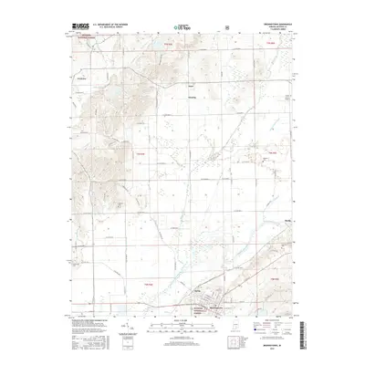
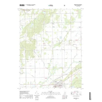
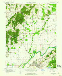 1958 Brownstown1960 Print · USGSJackson County in the late 1950s centers on the industrial and rail hub of Brownstown as it borders the forested uplands. Researchers can locate vanished landmarks like the Brick Kilns, the historic Covered Bridge, and the Old Indian Treaty Boundary line.4 unique versions available
 - 1959 Map of Vallonia, 1960 Print
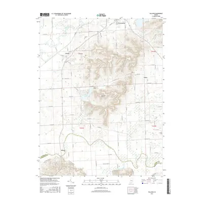
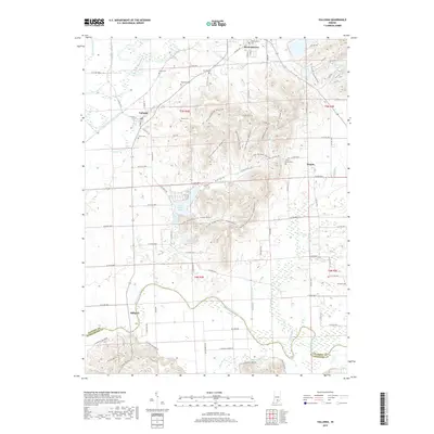
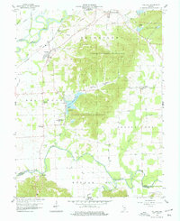 1959 Vallonia1960 Print · USGSJackson County in the late fifties showcases a landscape defined by the winding White and Muscatatuck Rivers. Genealogists can trace family roots through landmarks like Miller Cem, St Pauls Sch, and the historic settlement of Vallonia.4 unique versions available
 - 1986 Map of Bedford
 1986 Bedford1986 Print · USGSSouthern Indiana in the mid-eighties remains a landscape of deep forests, limestone quarries, and vital rail junctions. Genealogists and historians can trace the rural networks connecting French Lick, the Crane Naval Weapons Support Center, and the historic Becks Mill.
 - 1990 Map of Bedford, 1991 Print
 1990 Bedford1991 Print · USGSSouthern Indiana in the early nineties reveals a complex landscape of military reservations, resort towns, and heavy industry. Genealogists and historians can trace family sites like Old Union Cem and Trinity Springs or locate the limestone quarries surrounding Oolitic.
 - 2010 Map of Vallonia, 2010 Print
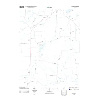
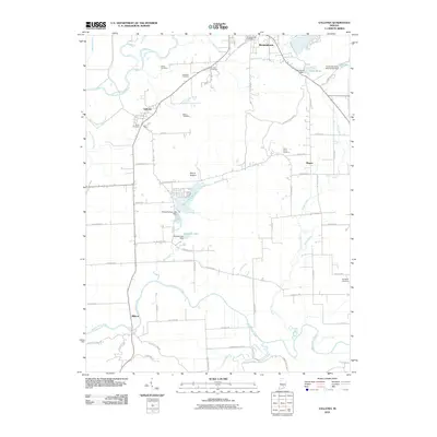 2010 Vallonia2010 Print · USGSCovers Brownstown, including Millport, Vallonia, and other nearby areas
 - 2010 Map of Brownstown, 2010 Print
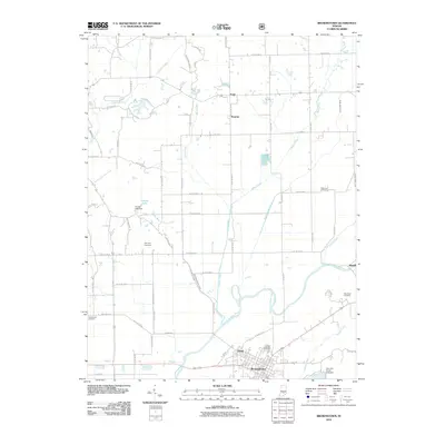 2010 Brownstown2010 Print · USGSCovers Brownstown, including Shields, Surprise, and other nearby areas
 - 2013 Map of Vallonia, 2013 Print
 2013 Vallonia2013 Print · USGSCovers Brownstown, including Millport, Vallonia, and other nearby areas
 - 2013 Map of Brownstown, 2013 Print
 2013 Brownstown2013 Print · USGSCovers Brownstown, including Shields, Surprise, and other nearby areas
 - 2016 Map of Vallonia, 2016 Print
 2016 Vallonia2016 Print · USGSCovers Brownstown, including Millport, Vallonia, and other nearby areas
 - 2016 Map of Brownstown, 2016 Print
 2016 Brownstown2016 Print · USGSCovers Brownstown, including Shields, Surprise, and other nearby areas
 - 2019 Map of Vallonia, 2019 Print
 2019 Vallonia2019 Print · USGSCovers Brownstown, including Millport, Vallonia, and other nearby areas
 - 2019 Map of Brownstown, 2019 Print
 2019 Brownstown2019 Print · USGSCovers Brownstown, including Shields, Surprise, and other nearby areas
 - 2022 Map of Brownstown, 2022 Print
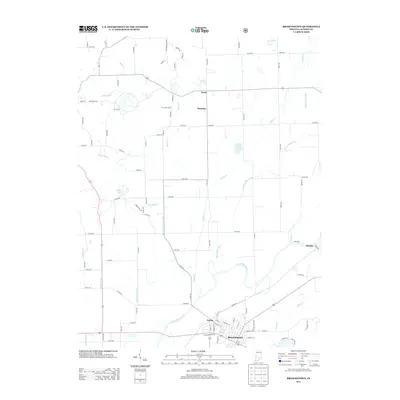
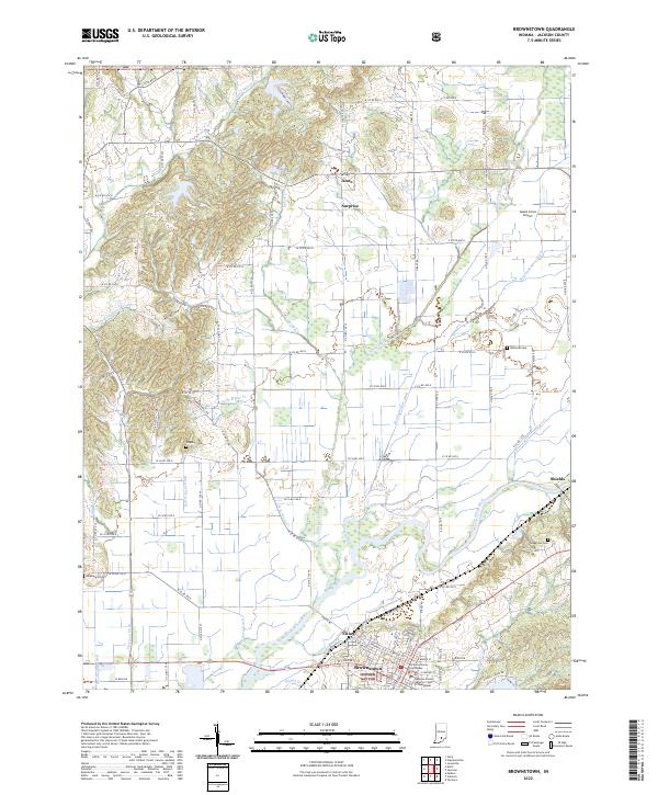 2022 Brownstown2022 Print · USGSJackson County at the start of the 2020s shows a landscape defined by the winding East Fork White River and the seat of local government. Researchers can trace historic family burials at Wayman Cemetery and explore the rural settlements of Surprise and Acme.
 - 2022 Map of Vallonia, 2022 Print
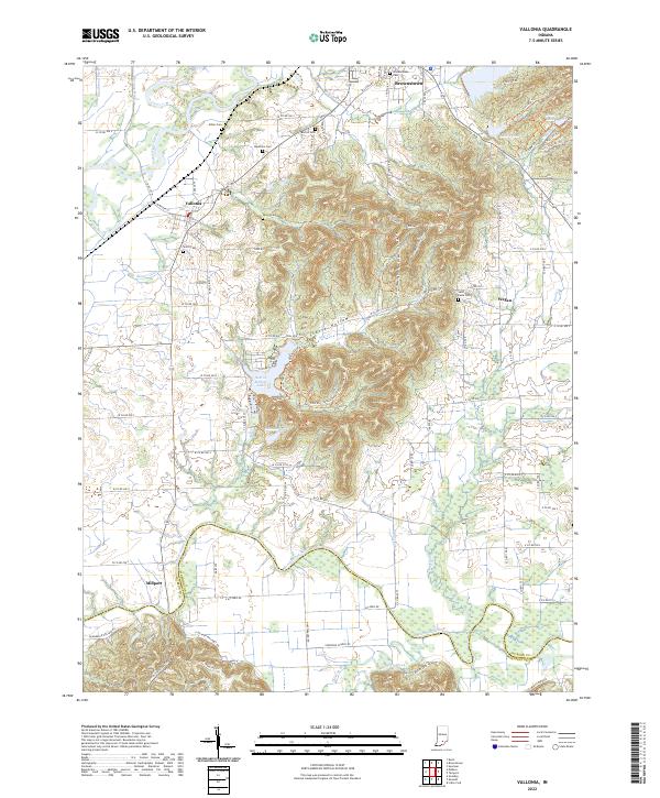 2022 Vallonia2022 Print · USGSVallonia and the river bottoms of southern Indiana are shown here in the early 2020s, highlighting the area's deep agricultural roots. Researchers can trace rural lineages through numerous local sites like Miller Cem, Saint Pauls Cem, and the old settlement at Millport.
End of results
Showing maps 1-17 of 17
Top cities near Brownstown
- Seymour historical maps
- Austin historical maps
- Crothersville historical maps
- Campbellsburg historical maps
- Medora historical maps
- Jonesville historical maps
See more
Top neighborhoods of Brownstown
Frequently asked questions
- What are the different types of historical maps available for Brownstown?
- What is the oldest map of Brownstown?
- Where can I purchase historical maps of Brownstown for my home or office?
- Where can I download high-res historical maps of Brownstown?
- Are there historical topographic maps available for Brownstown?
- Is there historical aerial imagery available for Brownstown?
- Where are historical maps of Brownstown sourced from?